Alice Springs – Uluru

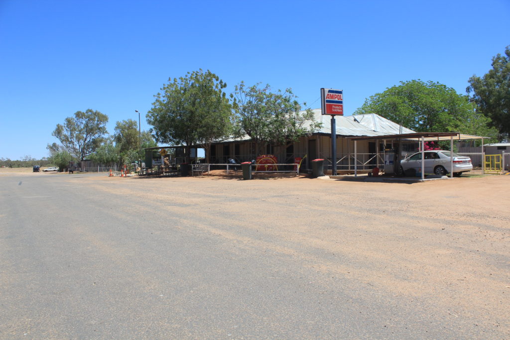
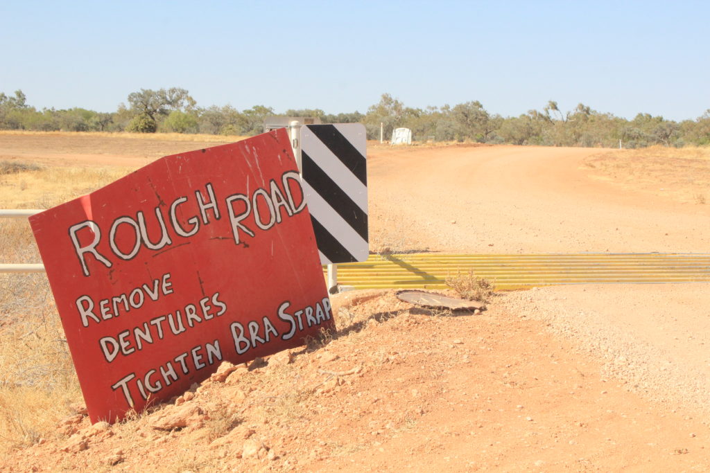
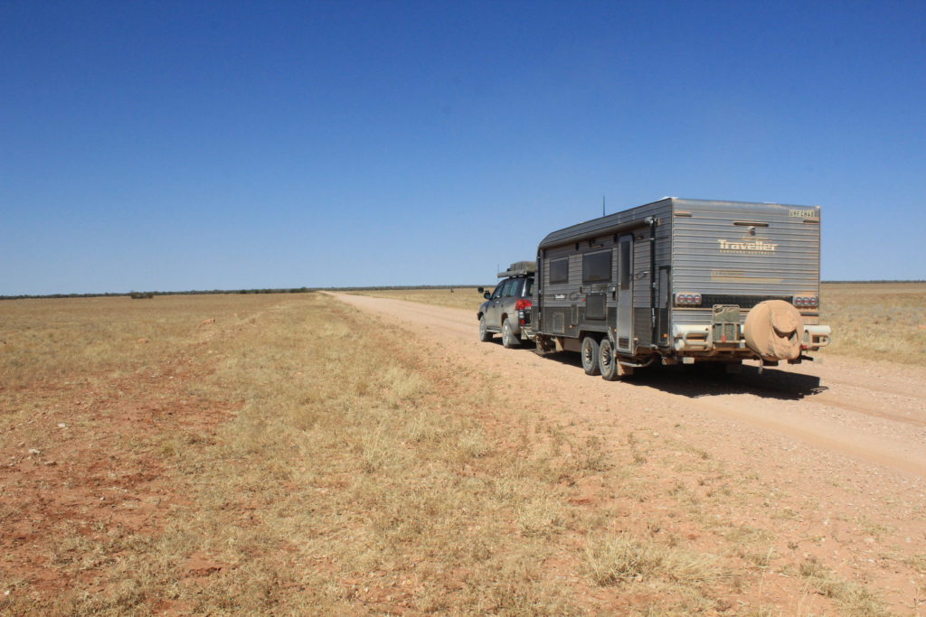
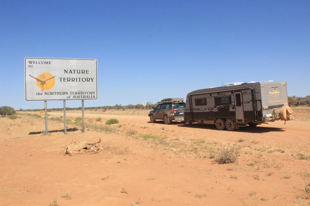
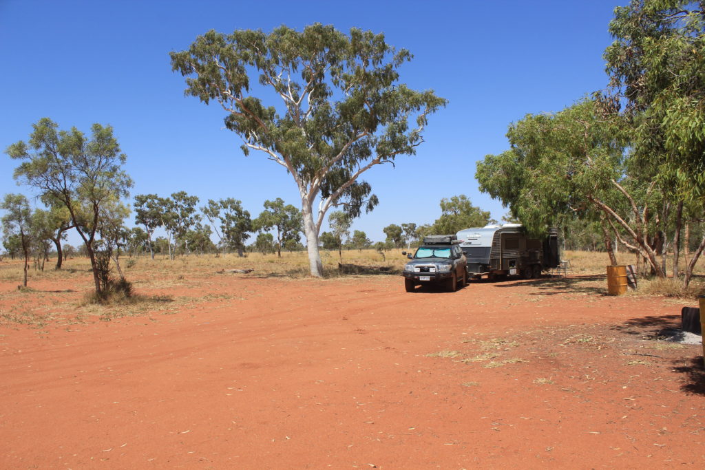
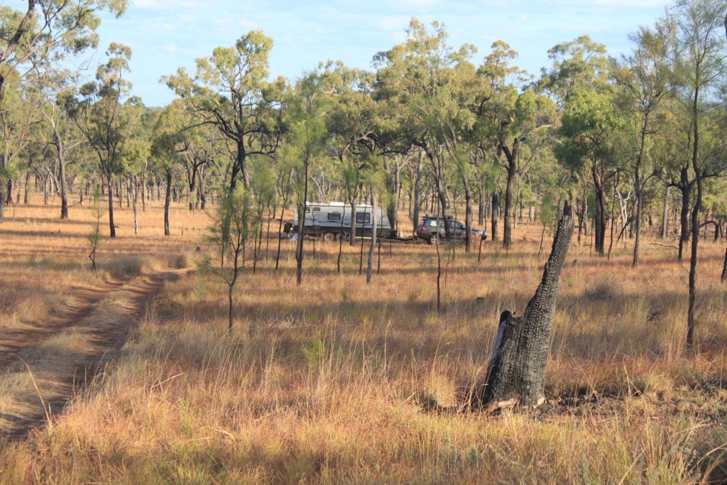
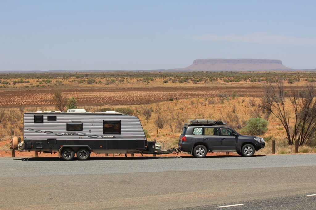
The morning we left Alice springs we had booked the caravan in for a wheel alignment check before heading off to Kings Canyon.  We have one tyre on the caravan that is scrubbing out a bit and thought that we would get it looked at before leaving.  When we arrived to have it looked at the mechanic took one look and said that his equipment wouldn’t be able to attach to our rims.  We then decided to just keep going and head towards Kings Canyon.  This meant that we also got on the road a couple of hours earlier than planned so it wasn’t all bad news.  Just hope the tyre lasts until we get home.

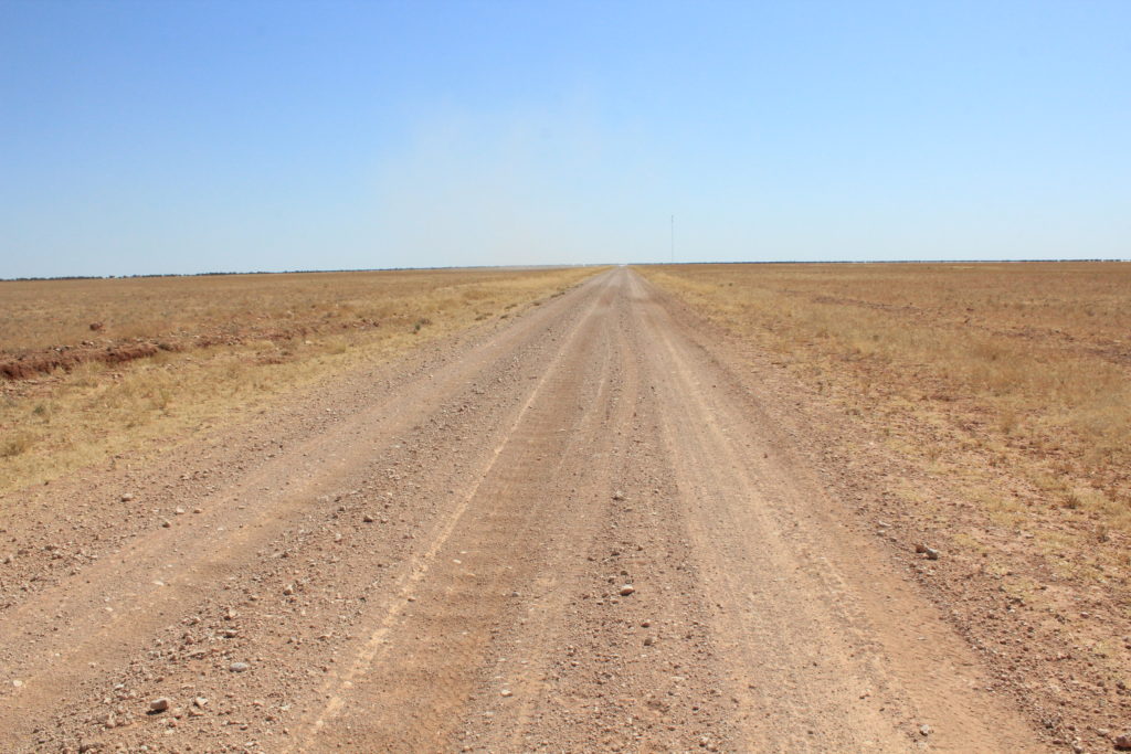
There is still a lot of traffic on the roads around this area, even though the weather is still very hot.  The drive to Kings Canyon from Alice Springs was a 330 km trip for us in one day.  This is quite a big travel day for us as generally we only do around 200 km in a travel day. 

Morning tea break at the Red Centre Way turnoff

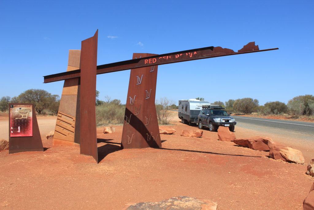
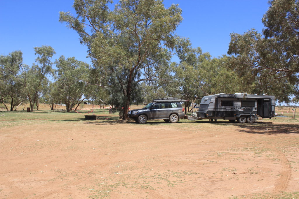
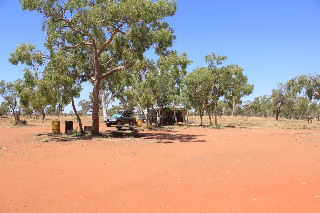
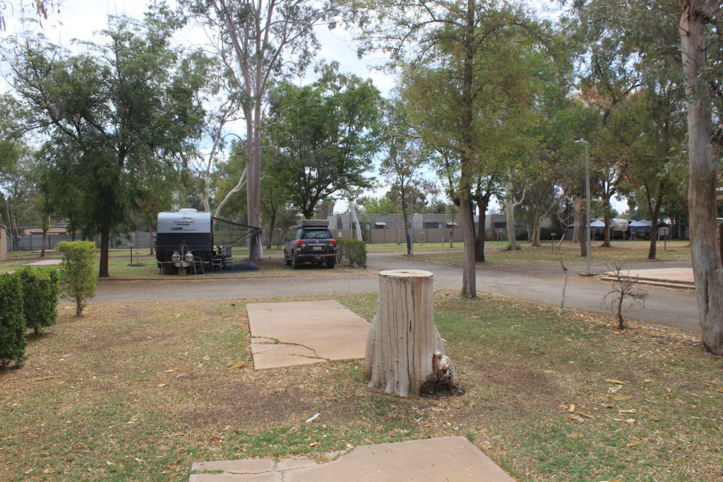
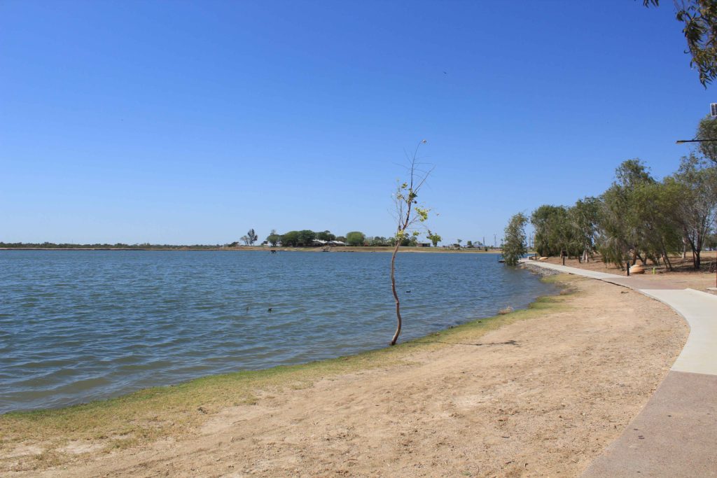
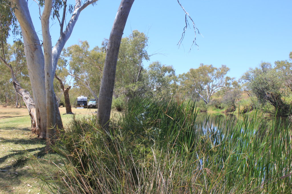
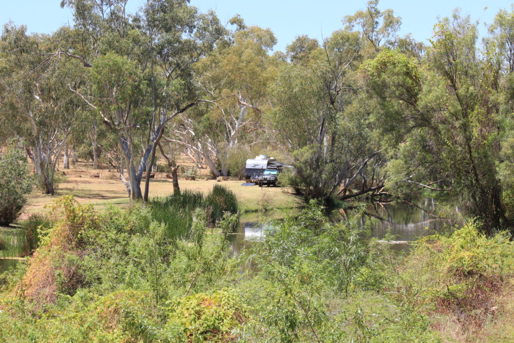
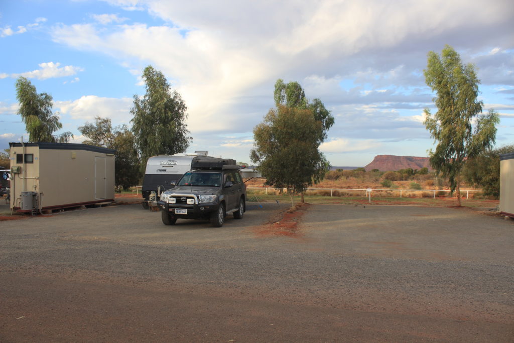
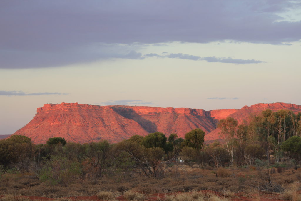
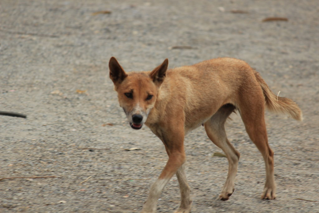
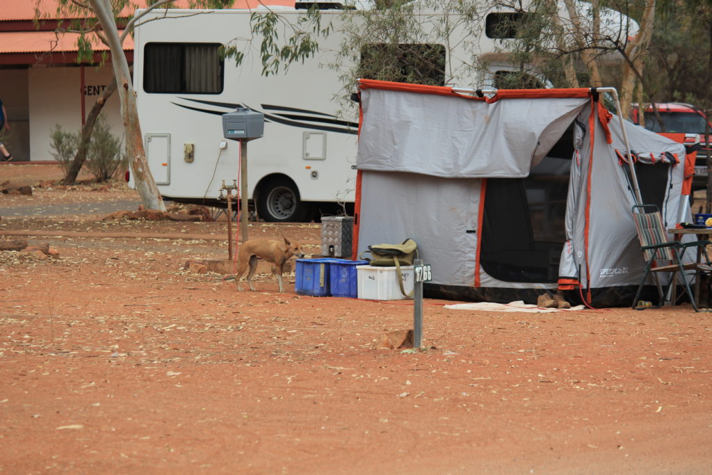
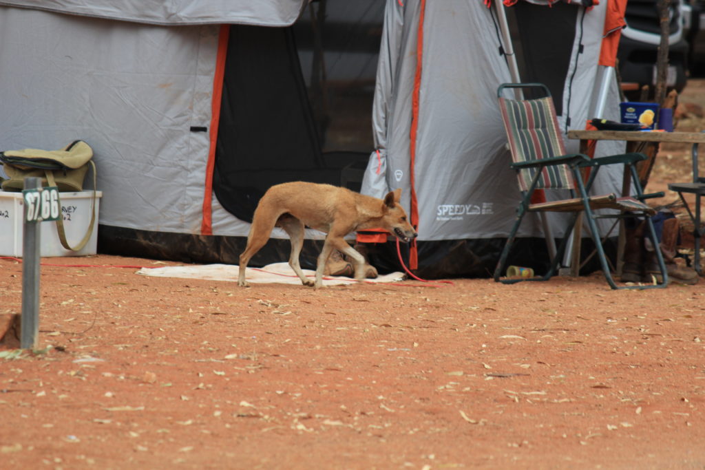
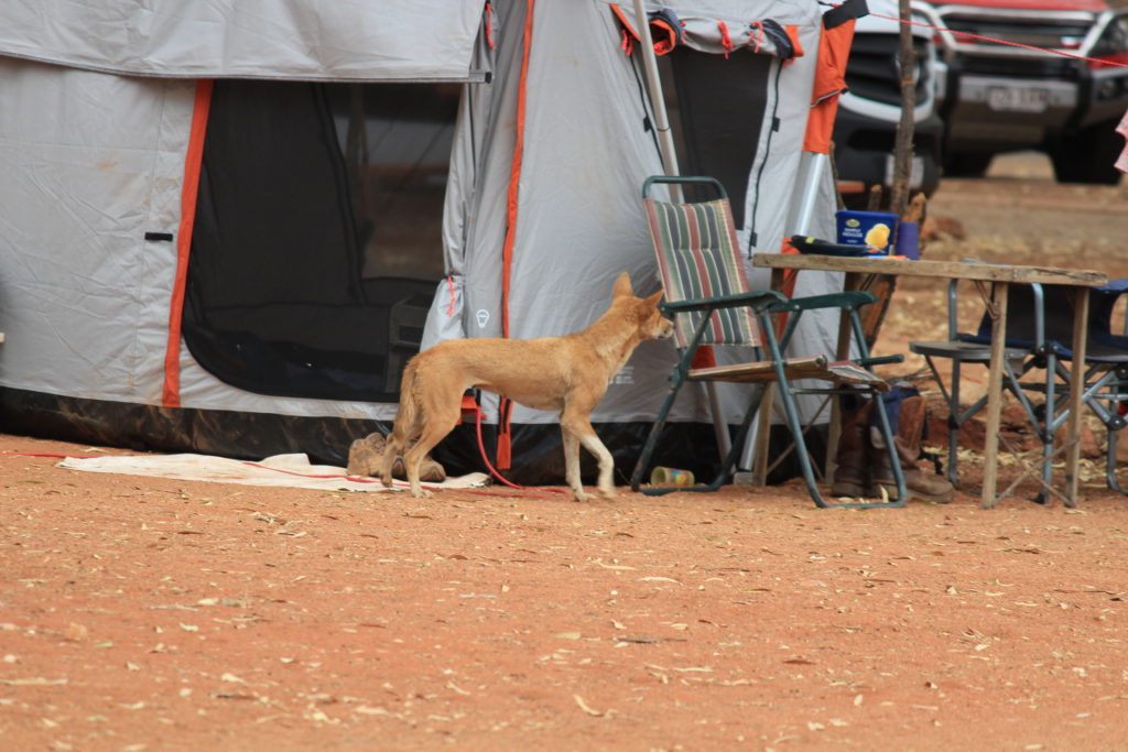
We stopped for morning tea at the Red Centre Way turnoff and timed it just nicely for a tour bus  to stop at the same time.   It wasn’t to bad though and there was plenty of room.  We stayed at the Kings Canyon Resort Caravan Park.  It wasn’t to bad but we did think it was a bit over priced at $50 p/n.  They did upgrade us to an ensuite site which was nice and these sites did have a nice view out the back of them overlooking the ranges which form part of the Urrampinyi Hills.  They also warn you about the dingoes that walk through the park as well.  We did see them often and they aren’t shy at all.  If there was no one around at their respective campsites the dingoes would push and try to open containers laying around.  They were also very reluctant to leave even when being shooed away.

Kings Canyon is in the Watarrka National Park
Our upgraded ensuite site at Kings Canyon
Nice sunset views from our site of the ranges behind us
Dingoes were very frequent visitors at Kings Canyon

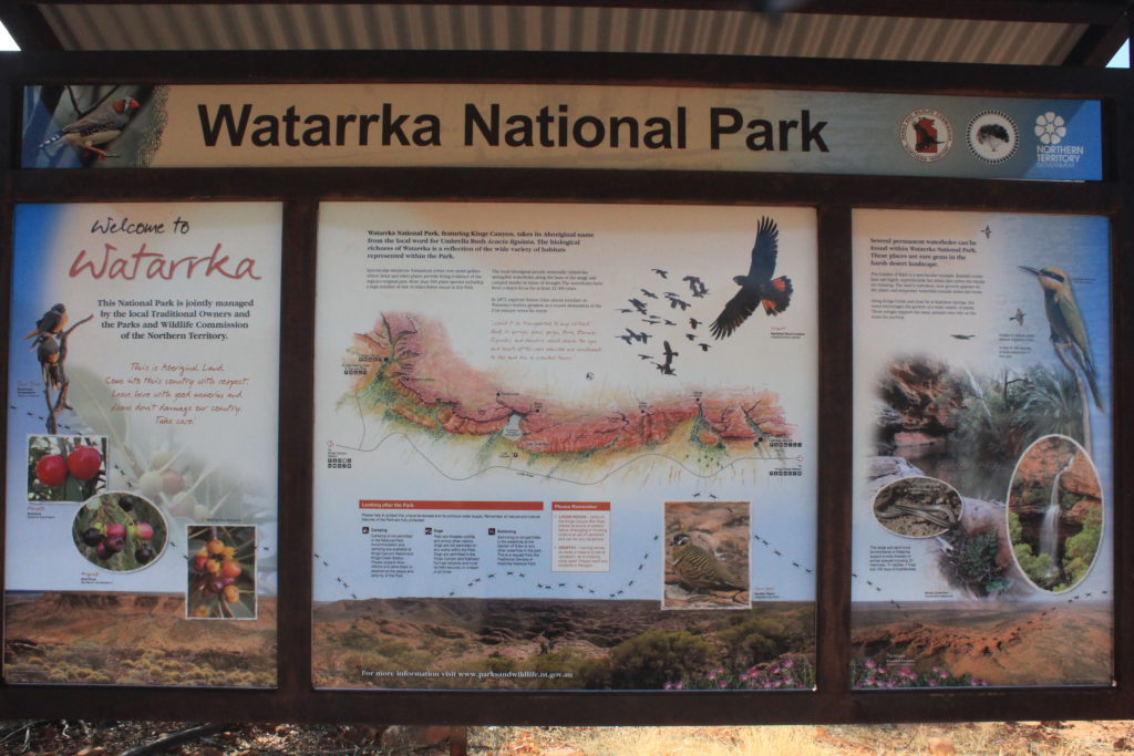
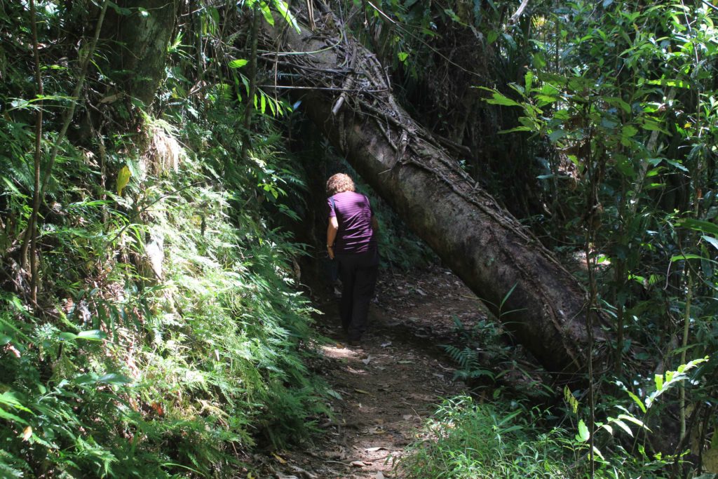
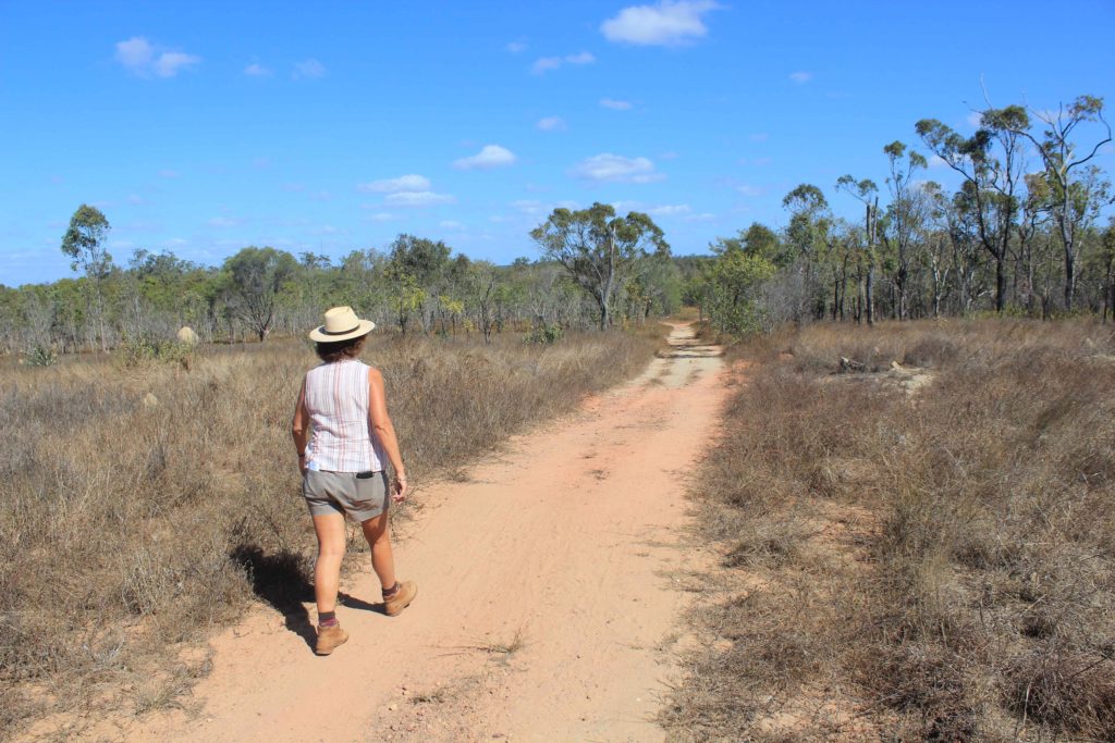
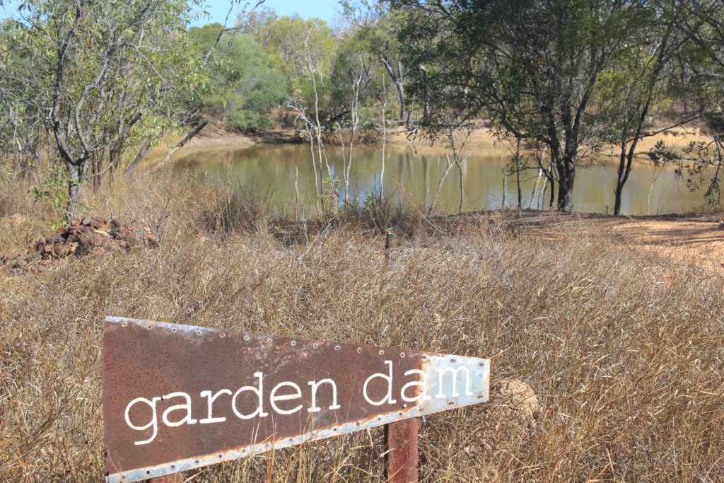
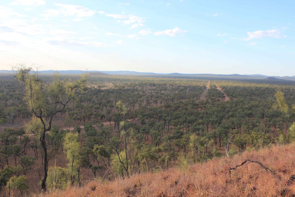
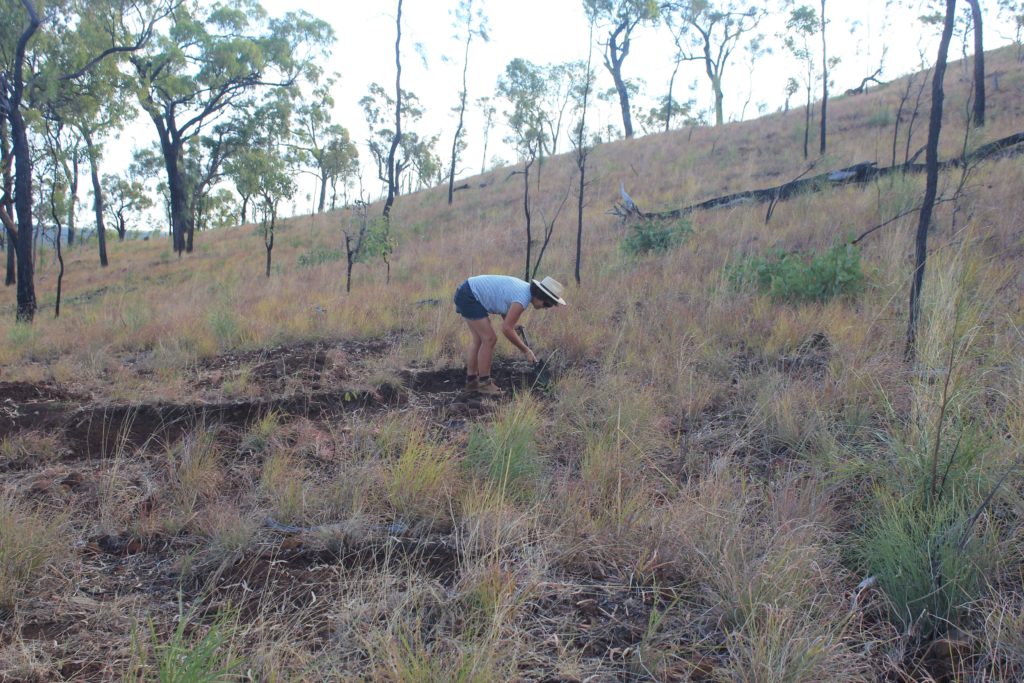
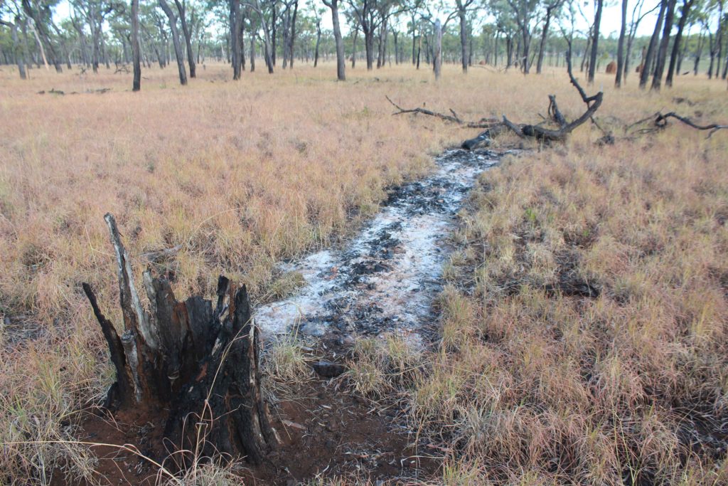
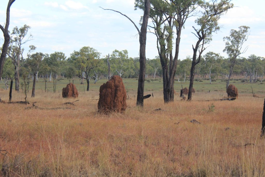
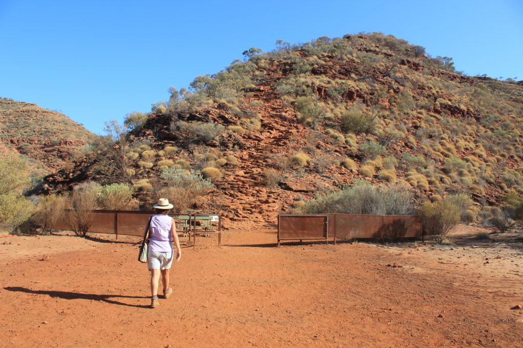
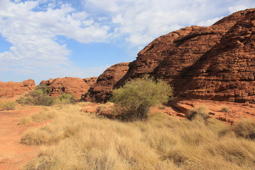
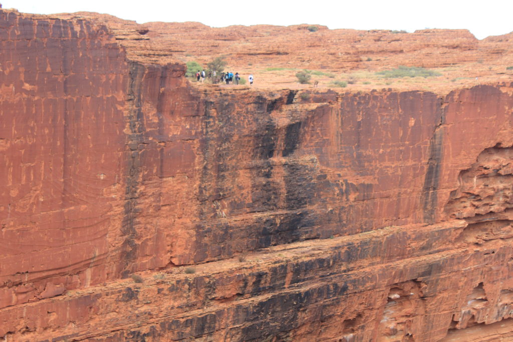
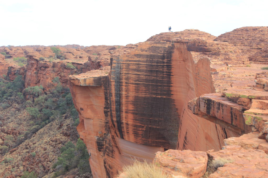
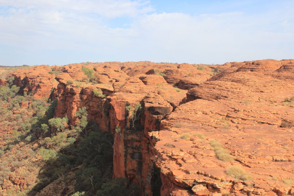
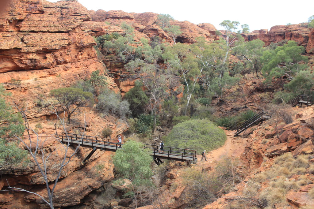
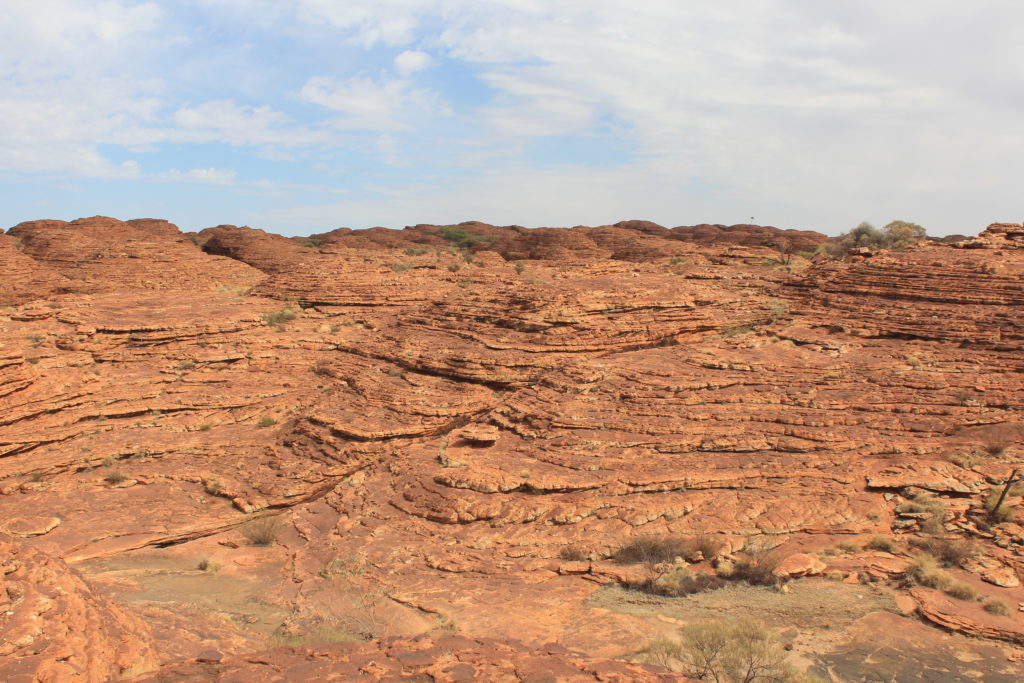
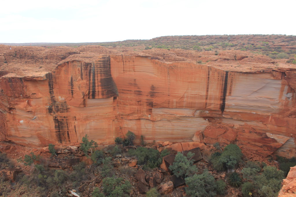
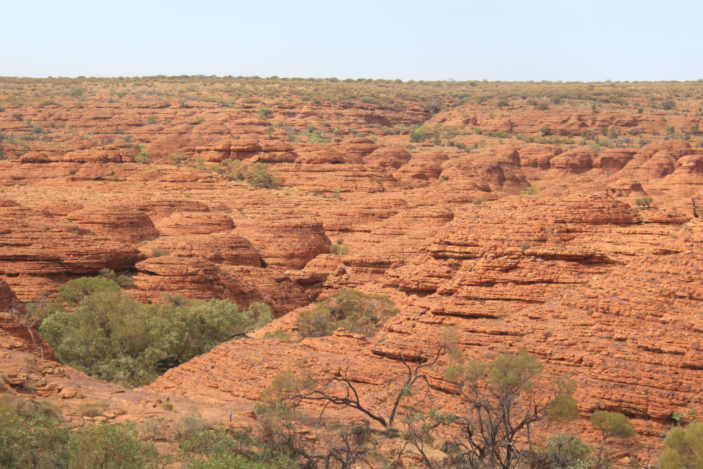
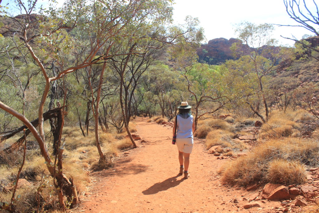
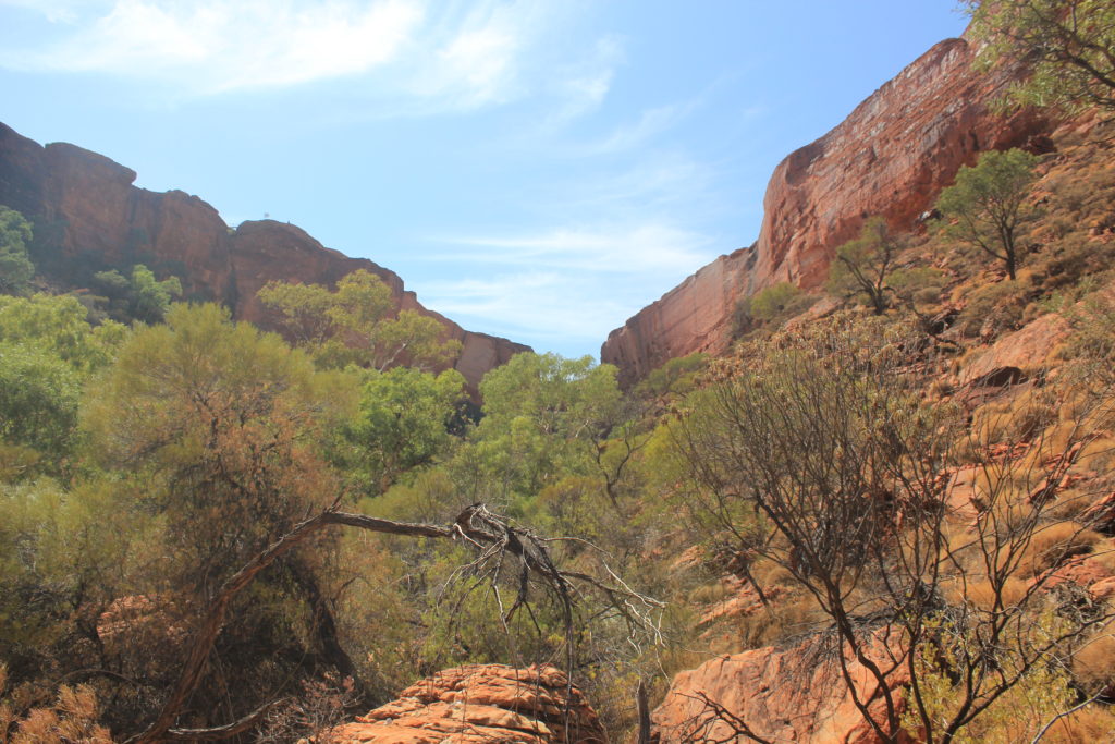
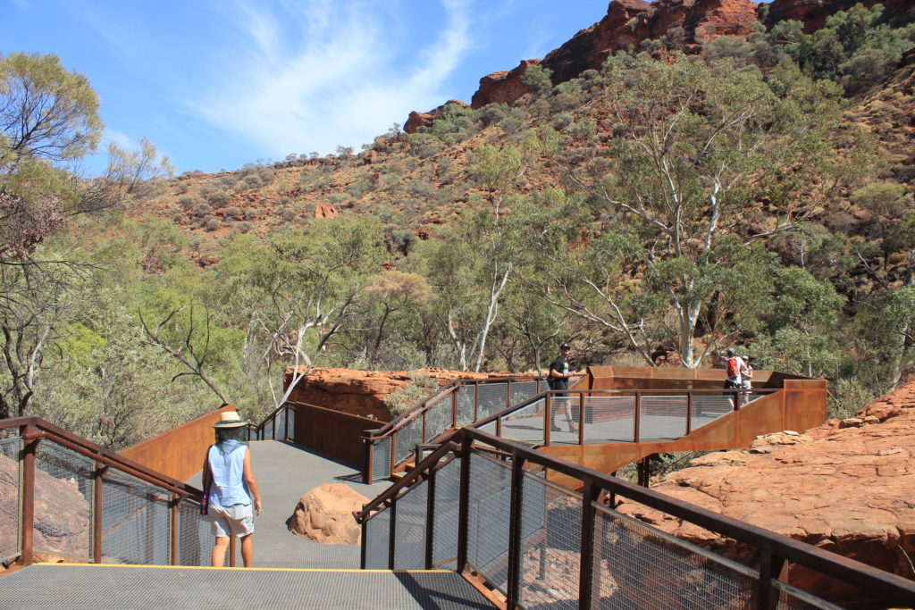
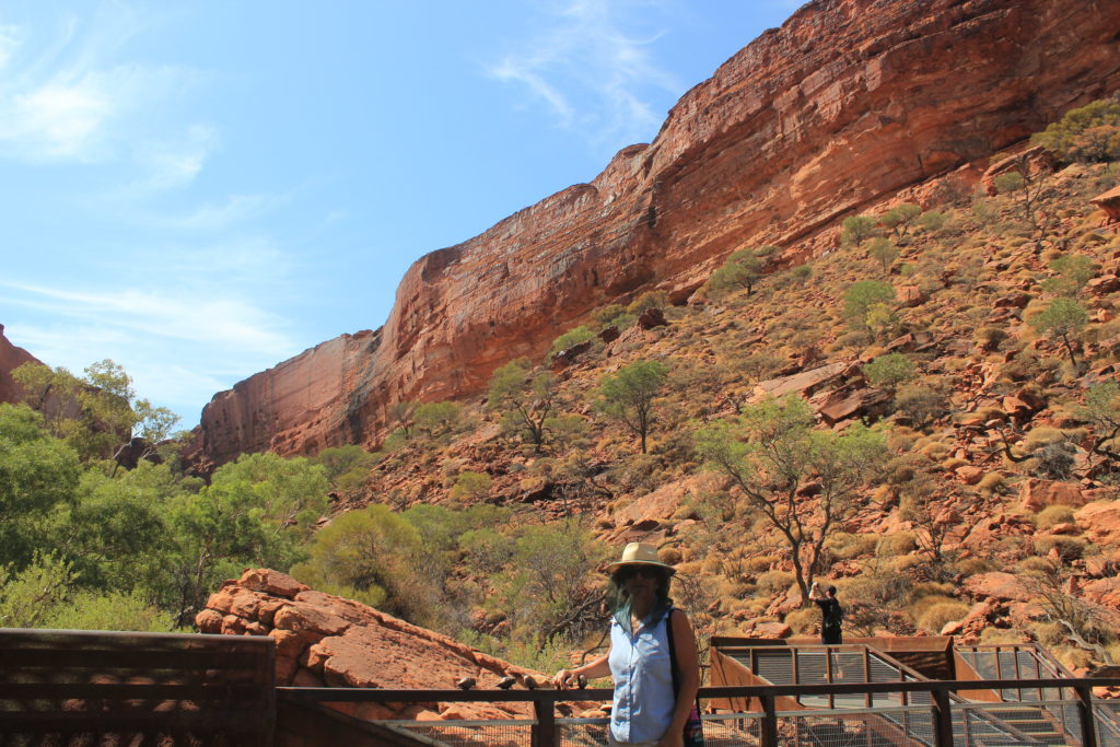
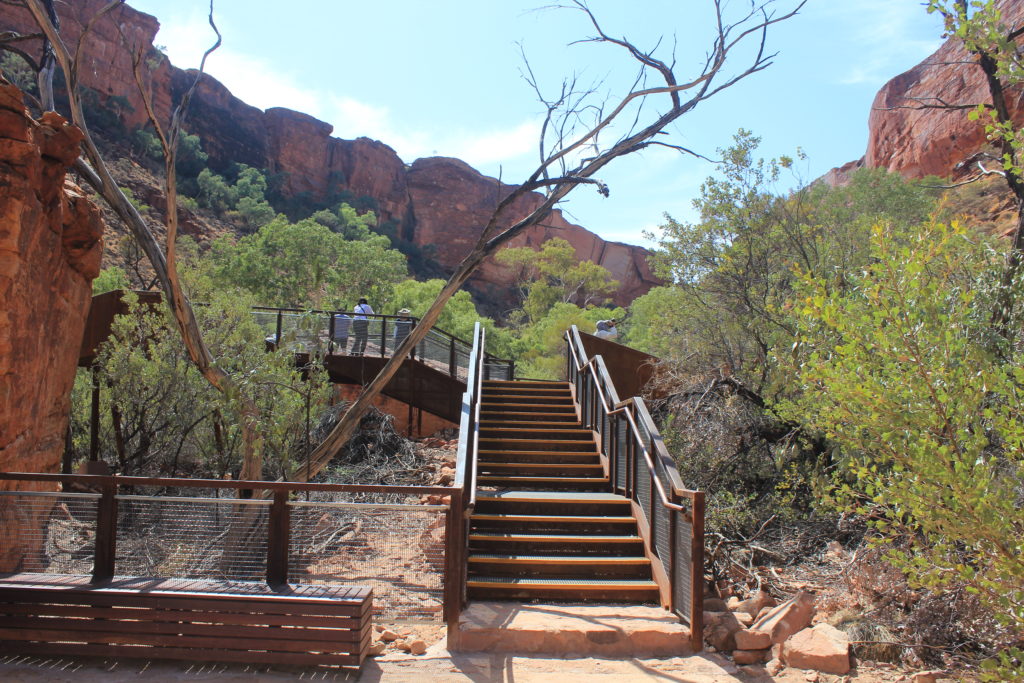
There are a couple of walks that you can do while at Kings Canyon.  The Kings Canyon Rim walk is a 6km walk and takes you around the rim and past some quite spectacular rock formations.  We really enjoyed this walk.  The first part was the most difficult where you have to climb to the top of the rim.  The rest of the walk from there was relatively easy with only a few small steep sections after that.  There is also the Kings Creek Walk that was a short 1km walk up Kings Creek to a lookout.  It is a pity that everything is so dry at the moment, the country really does look like it is only just surviving at the moment.  They did close the rim walk down later in the morning due to the weather being to hot.  Not sure what the shut off temperature is but it would have been closed by around midday we thought.

At the start of the Kings Canyon Rim Walk
Kings Canyon Rim Walk
Kings Creek Walk – this one is nice and easy

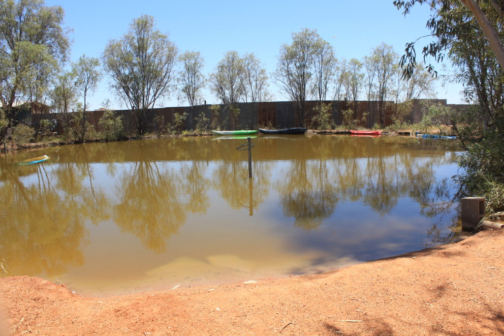
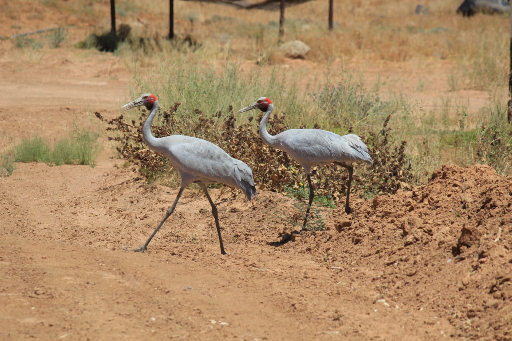
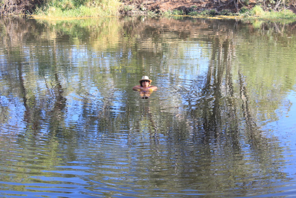
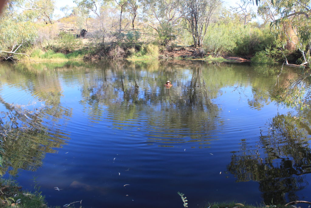
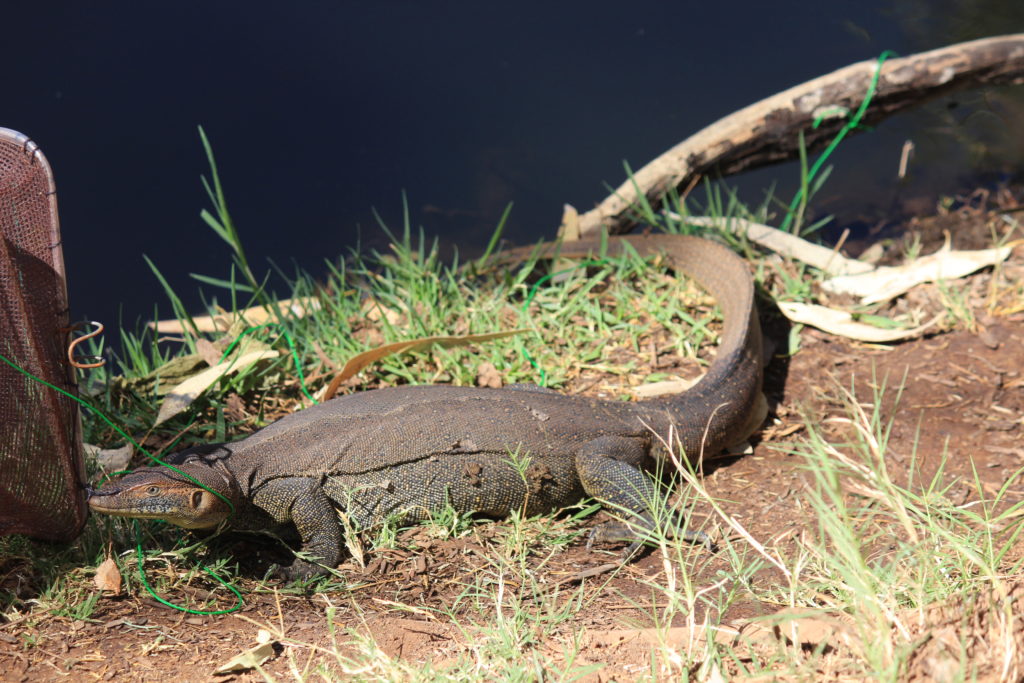
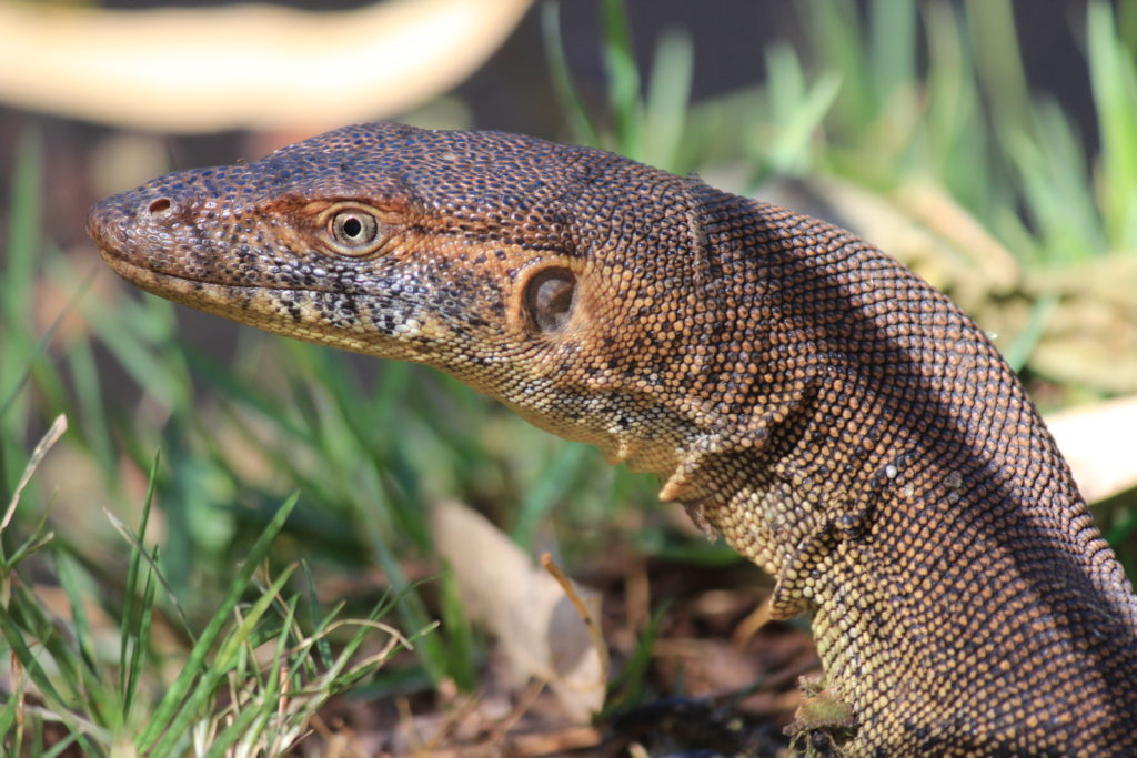
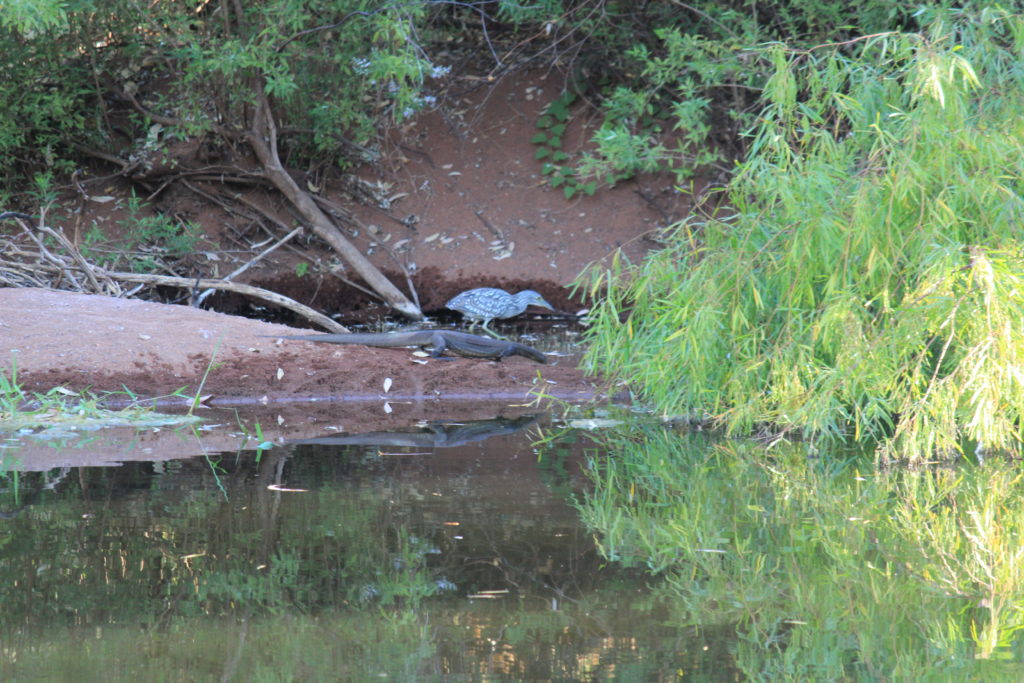
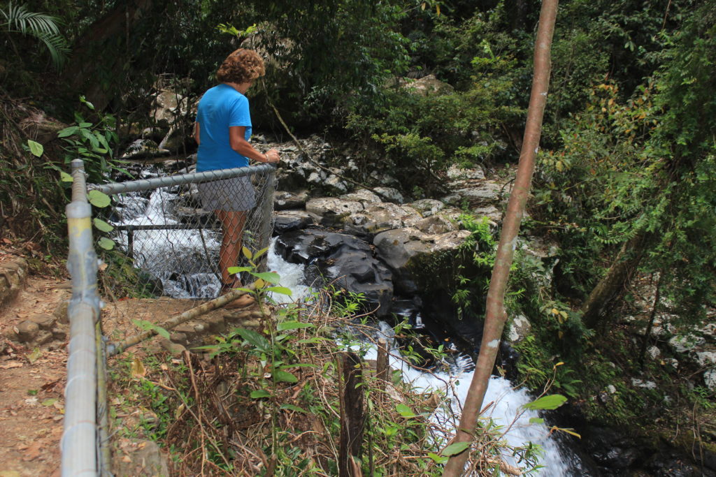
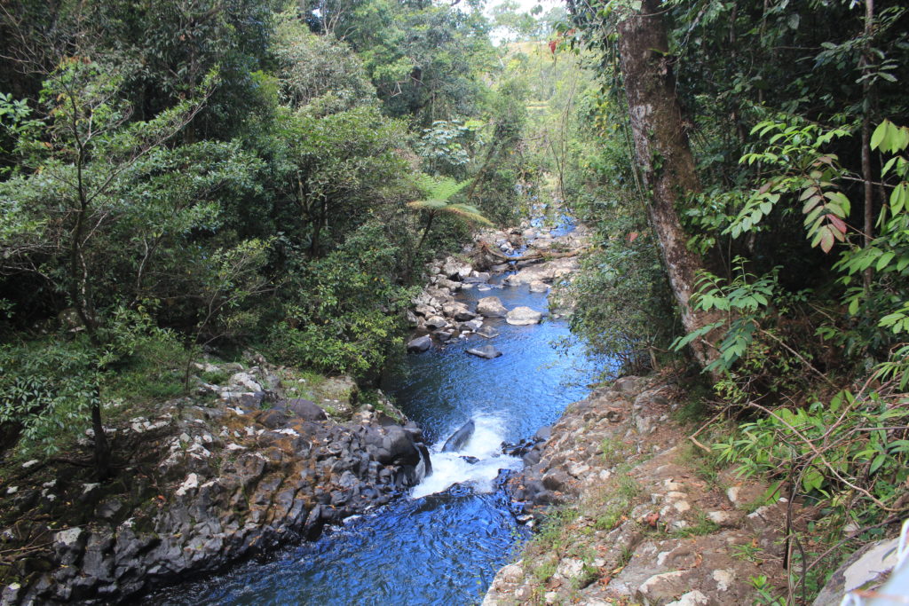
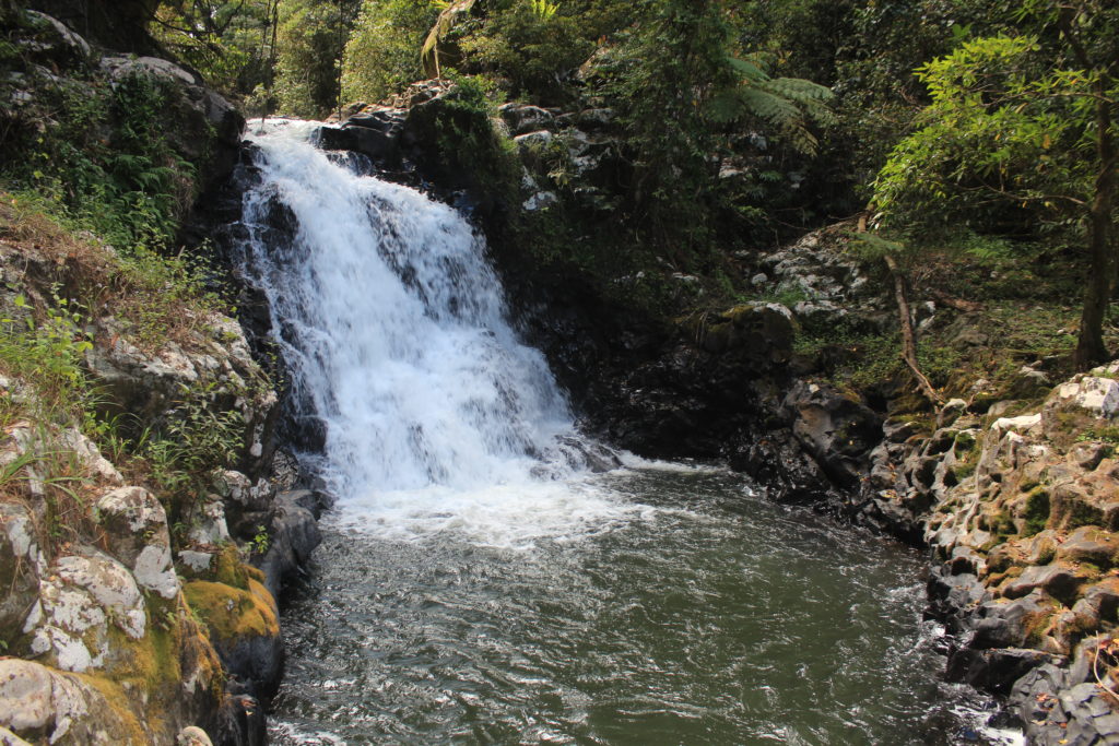
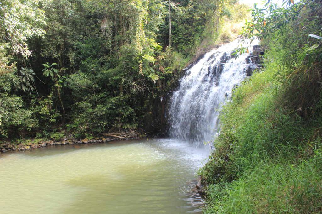
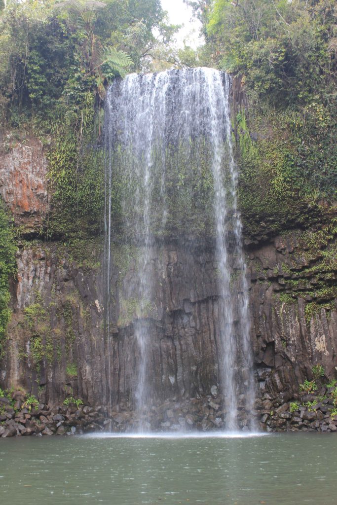
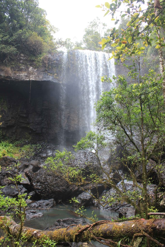
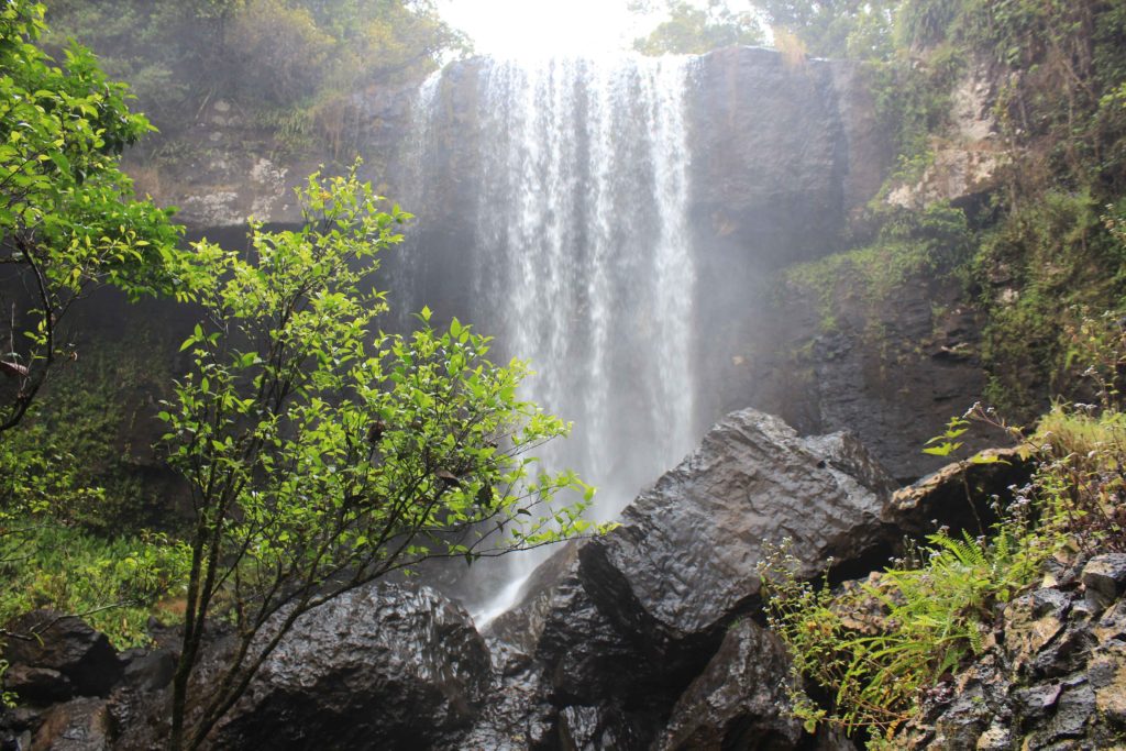
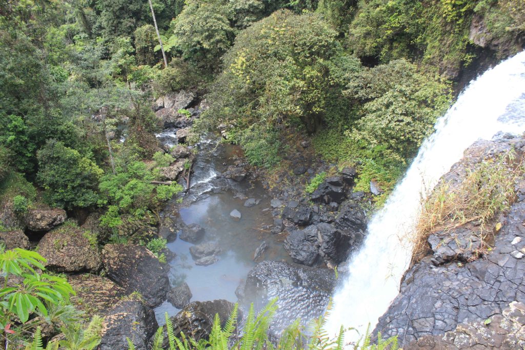
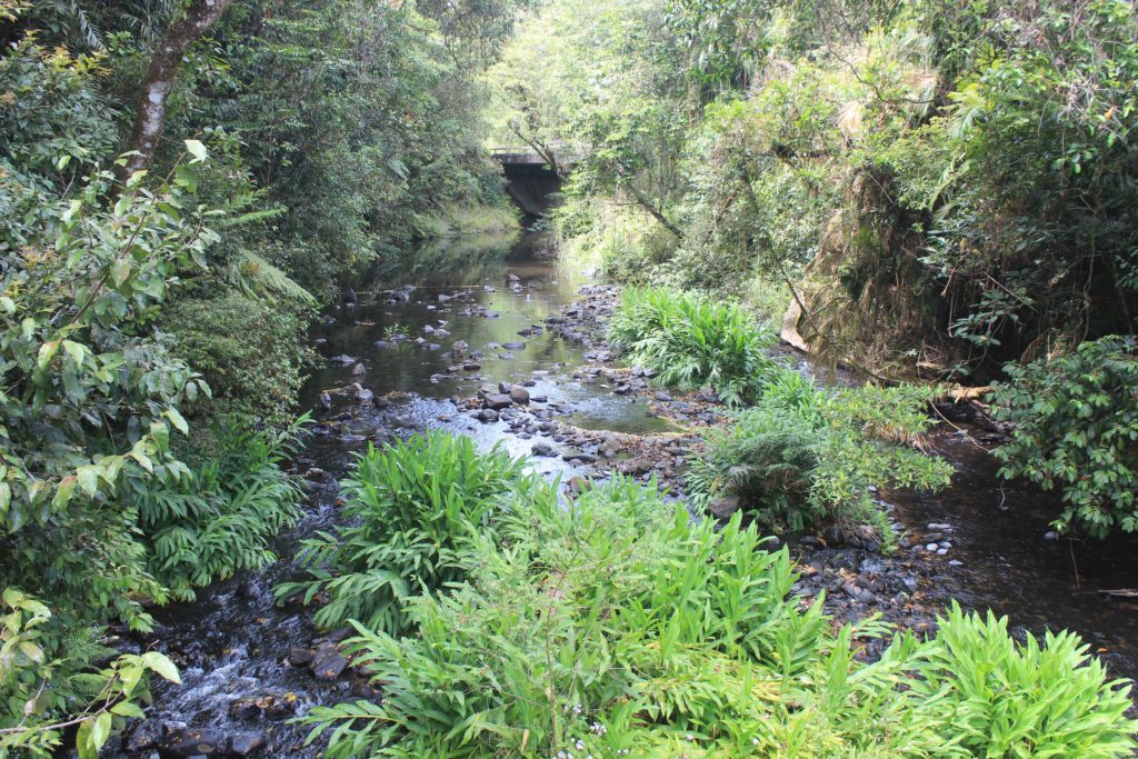
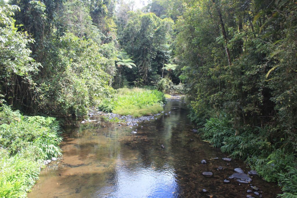
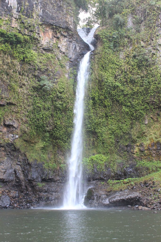
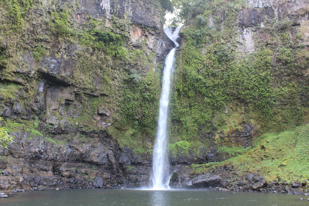
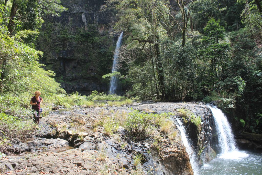
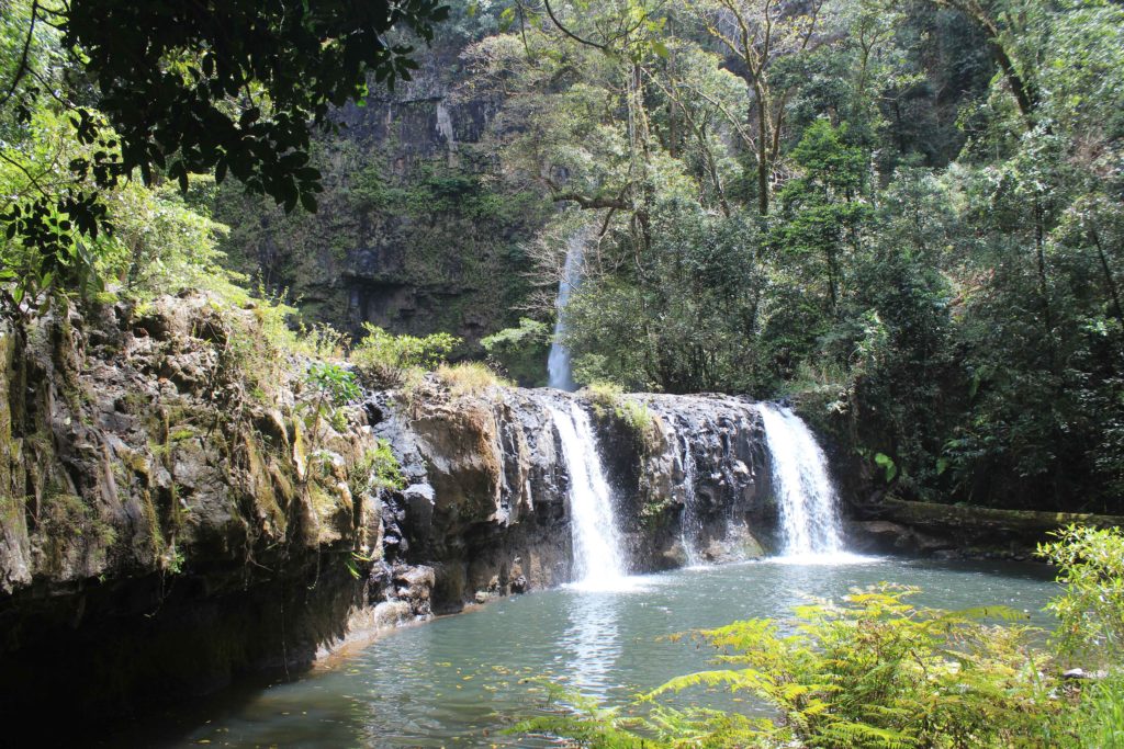
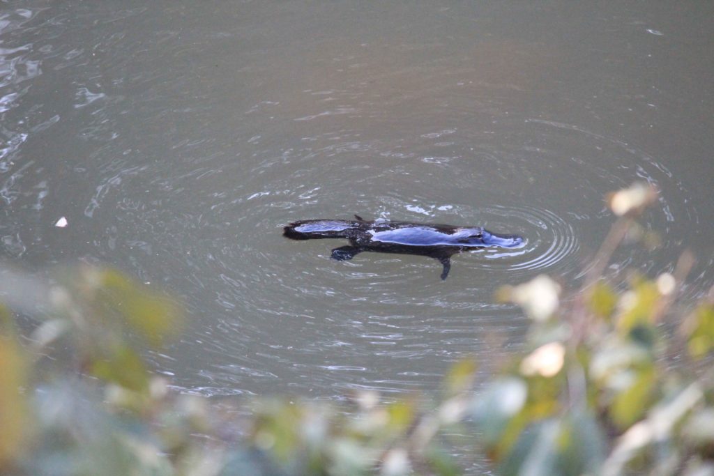
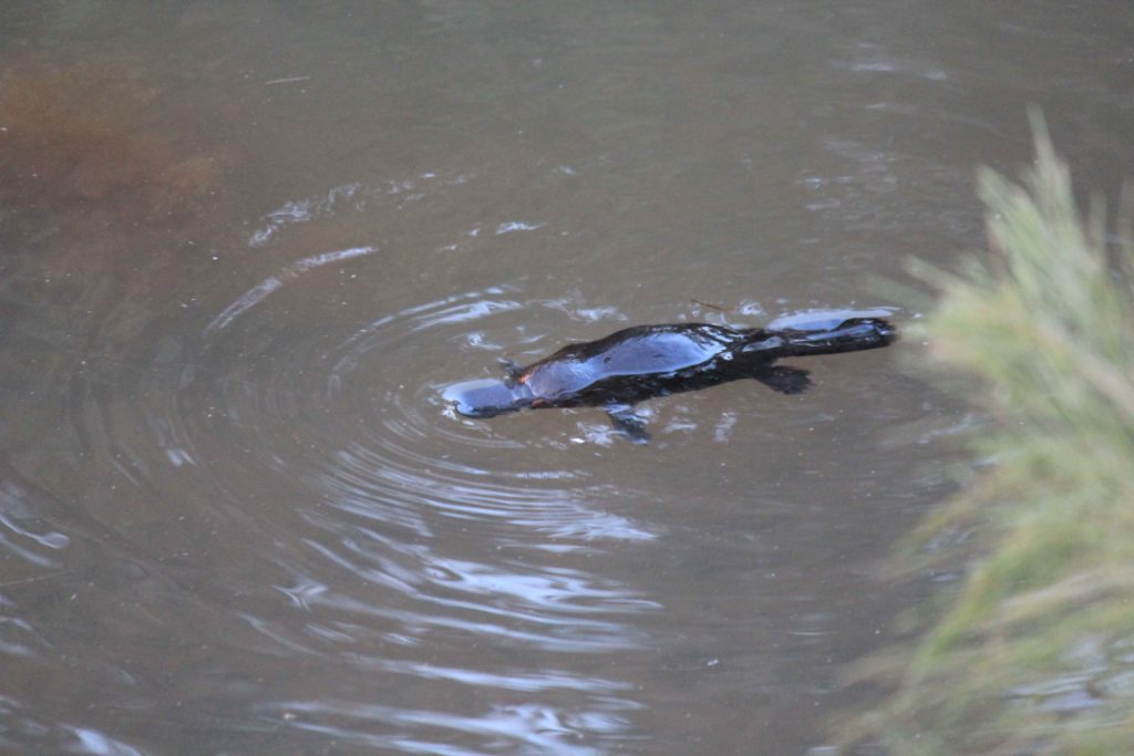
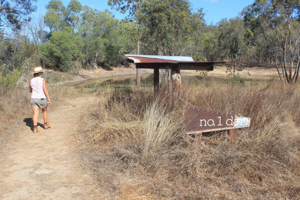
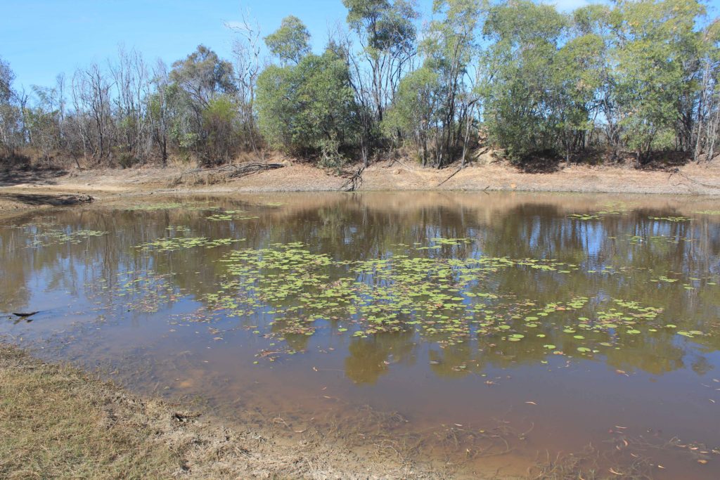
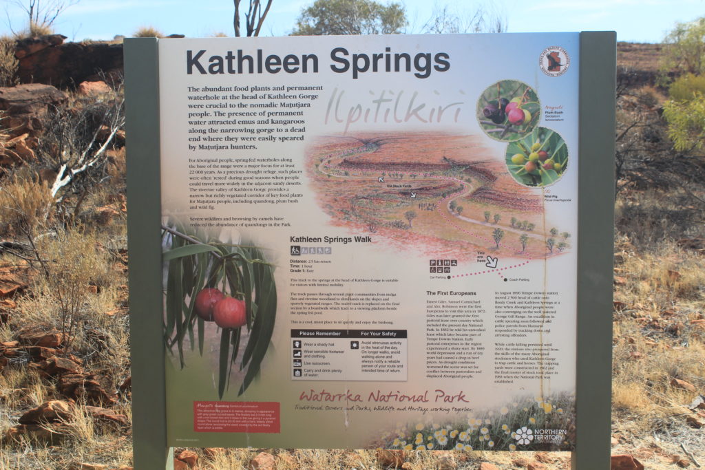
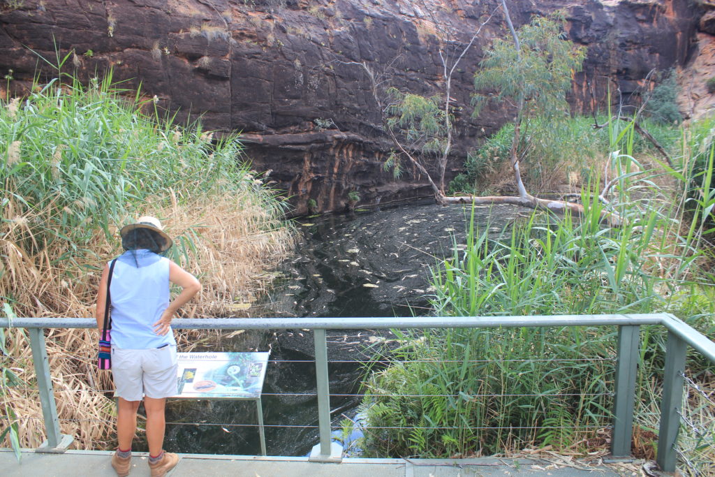
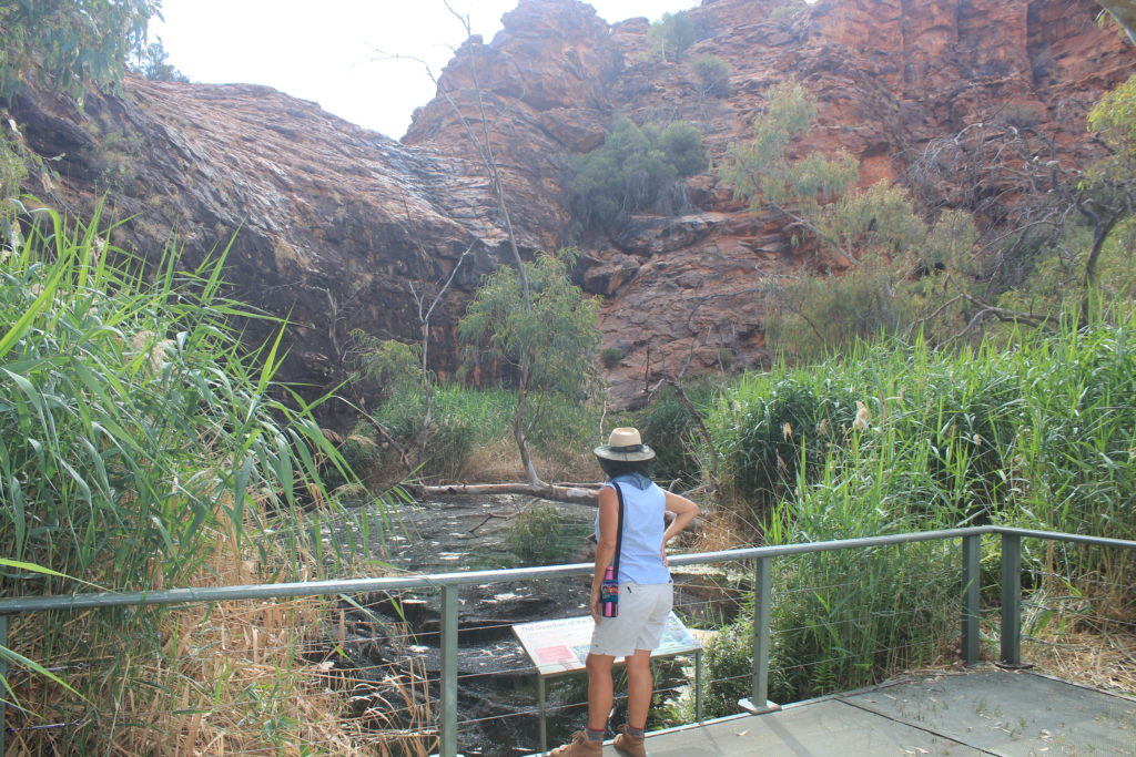
Kathleen Springs Walk was a very easy short walk that took us to the only waterhole we saw with some water actually in it.  It is amazing what a little bit of water can do in a hot dry area for the wildlife and plants.  It was nice to see a bit of greenery and hear birdlife in the trees.   Although only a short walk it took you past some interesting country.  Nice way to fill in an hour.

Kathleen Springs Walk
Old stockyards – Kathleen Springs Walk
Kathleen Springs
Kathleen Springs

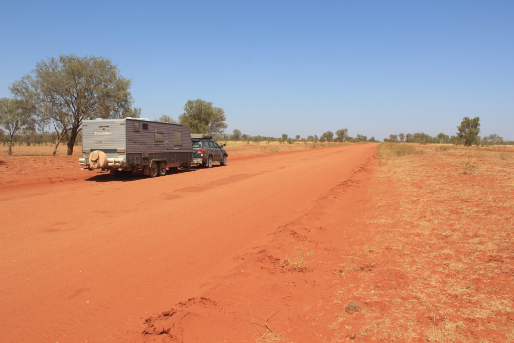
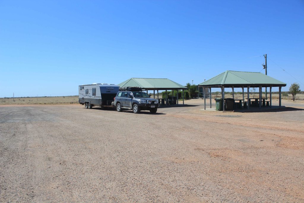
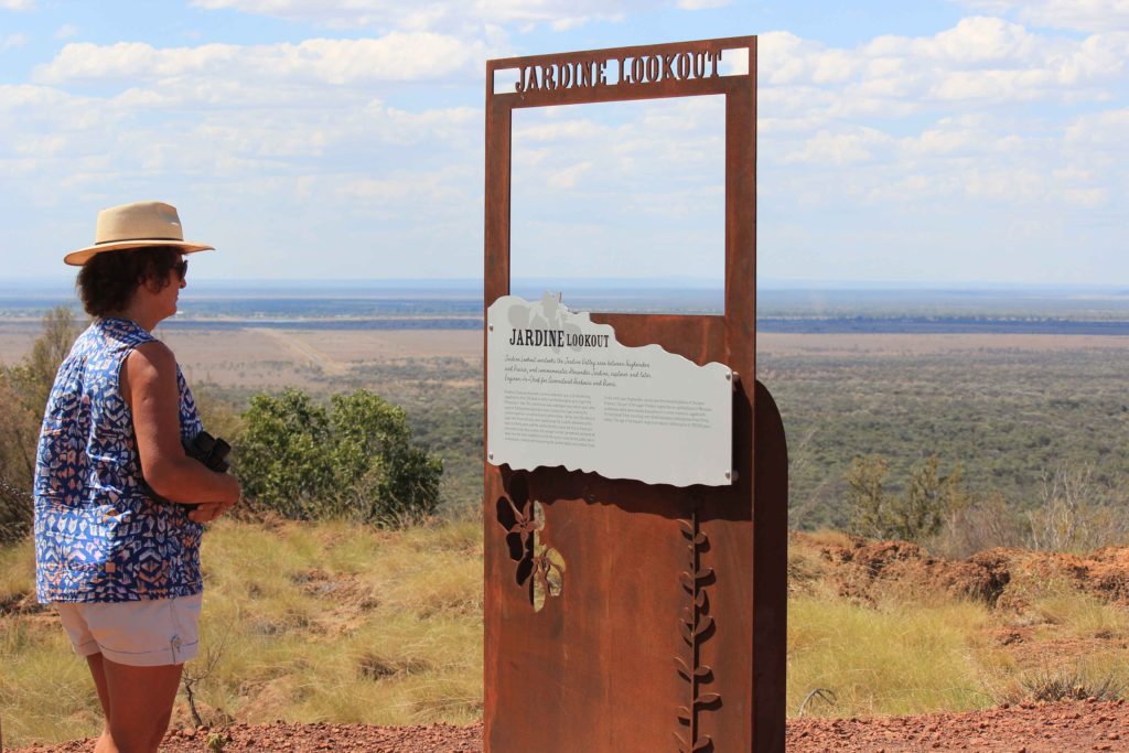
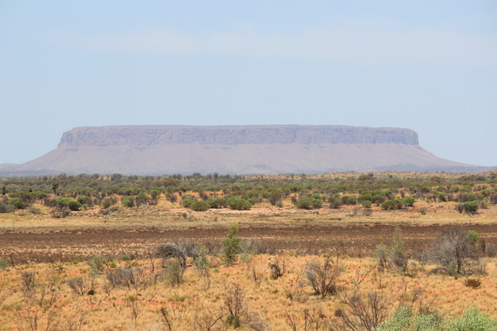
After a nice three nights at Kings Creek it was off to Uluru and Kata Tjuta (the Olga’s).  We had phoned ahead and booked to stay at Yulara Caravan Van Park as it was reportedly still very busy with lots still going there to climb Uluru before its impending closure.  This was another 300 km drive for us in one hit.  With intestinal fortitude we made it through.  We stopped at the Mt Conner Lookout rest area for morning tea. This offered you great views of Mt Conner in the distance as well as the general country side.

Morning tea stop with Mt Conner in the background
Mt Conner

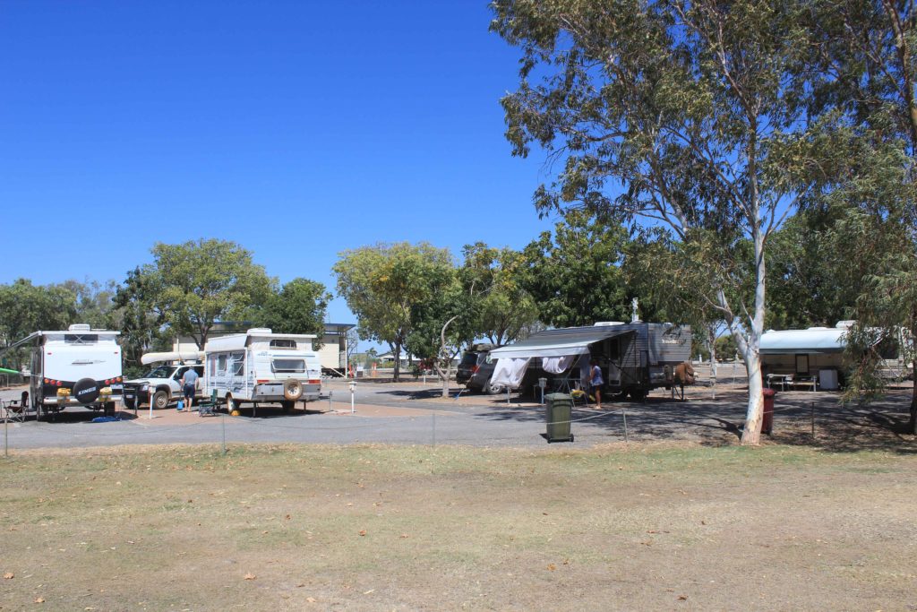
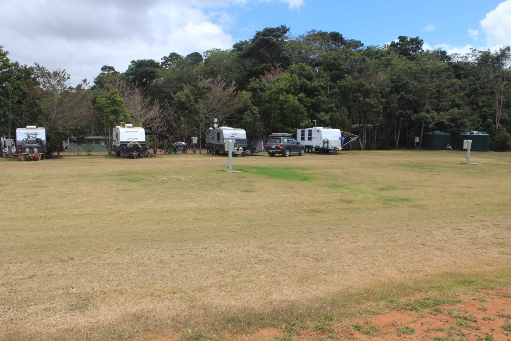
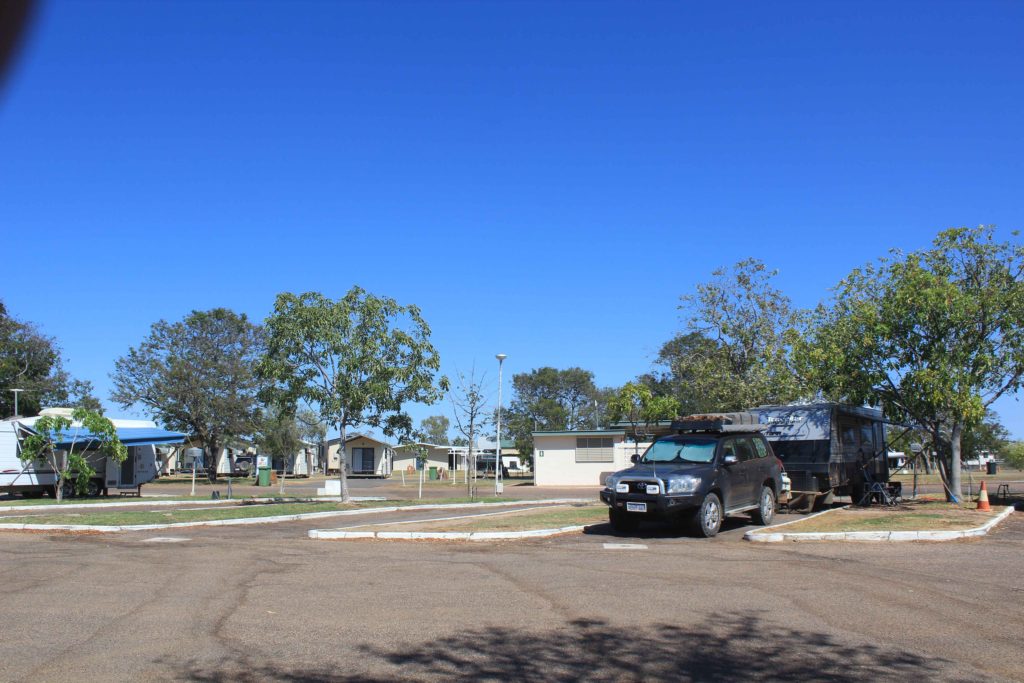
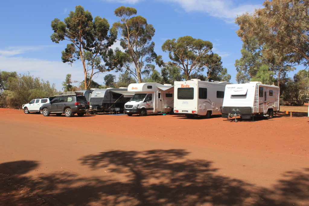
We arrived at Yulara and booked into the caravan park.  The area they put us in was OK but a little bit squashy.  There was literally only enough room to park your van and roll out your awning.  We actually couldn’t roll our awning out all the way without going into our neighbours area.  It was only for three nights so all was good.  But at $67 a night we thought it could have been a little bit roomier.  Its not as though they are short on land out here.

Nice and cosy at Yulara Caravan Park

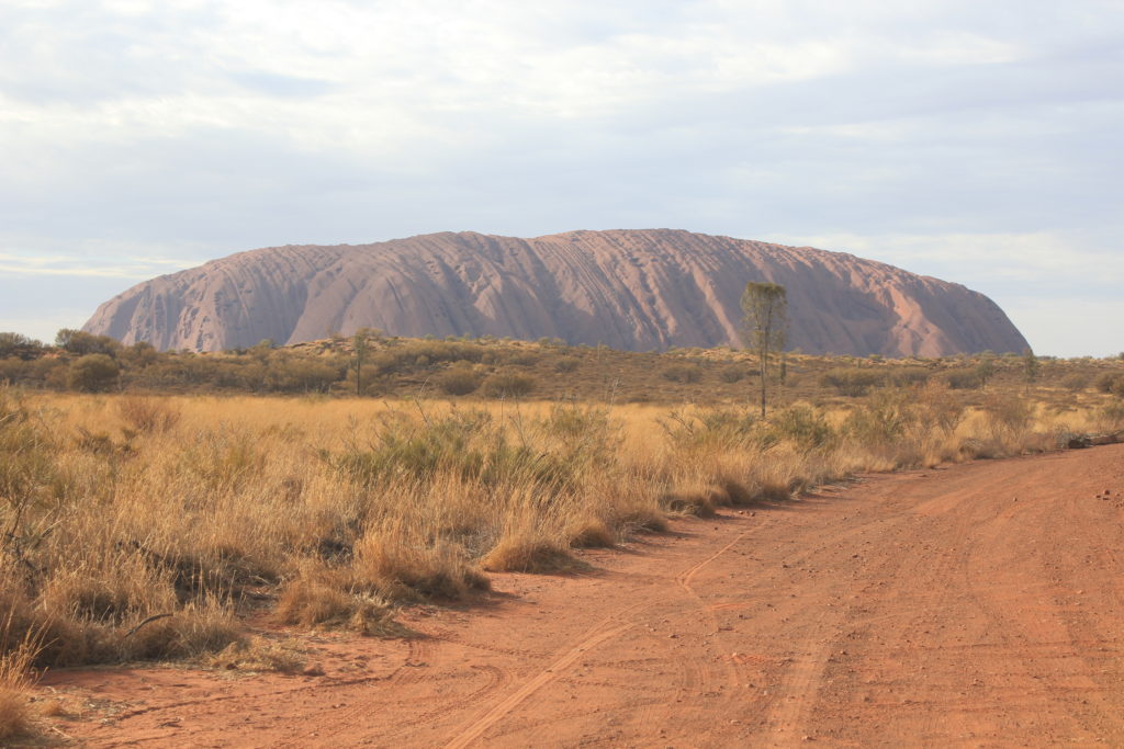
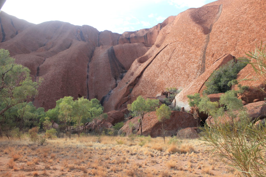
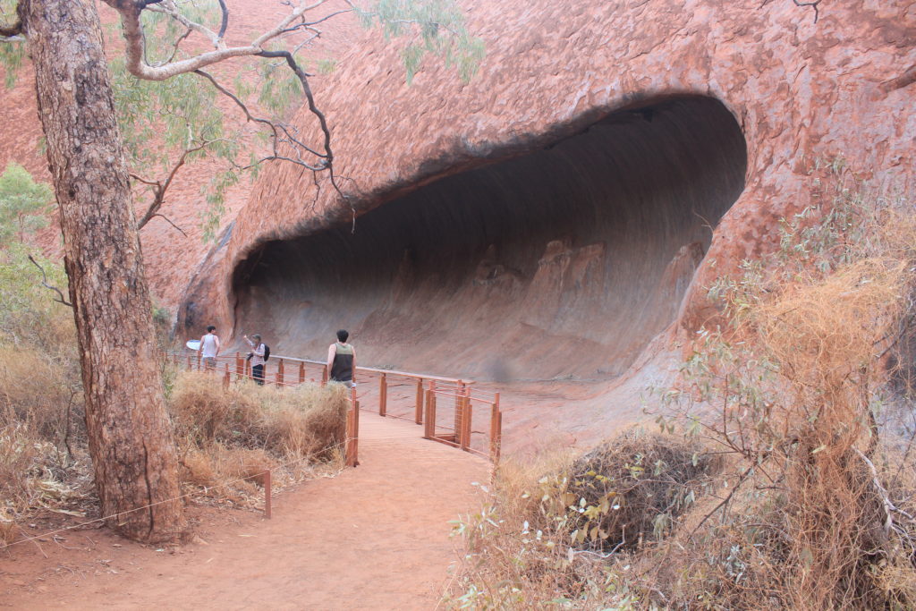
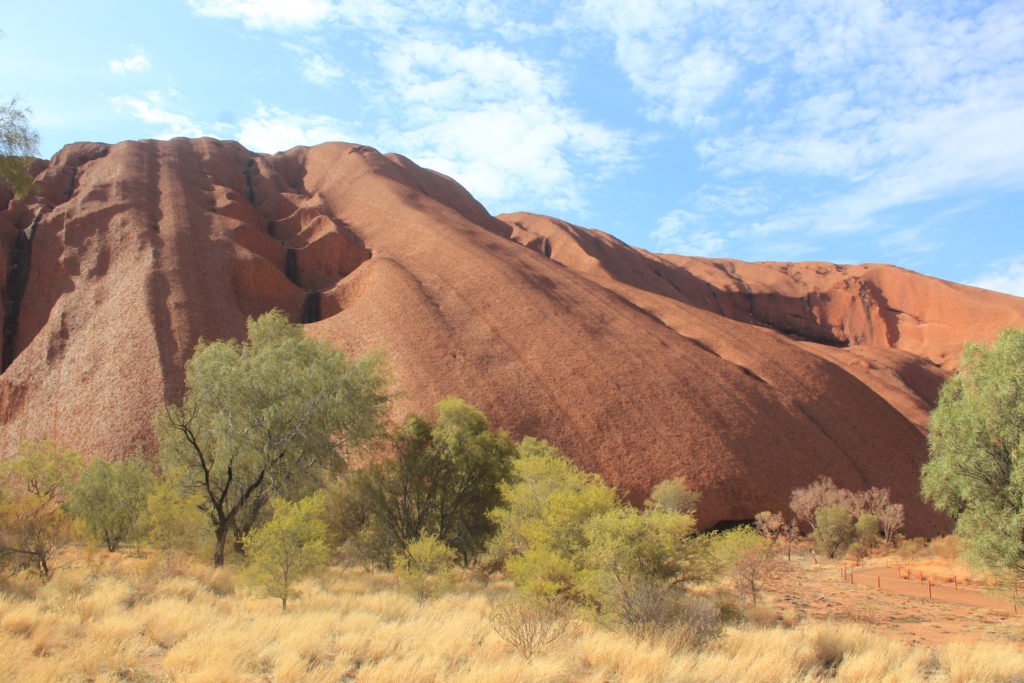
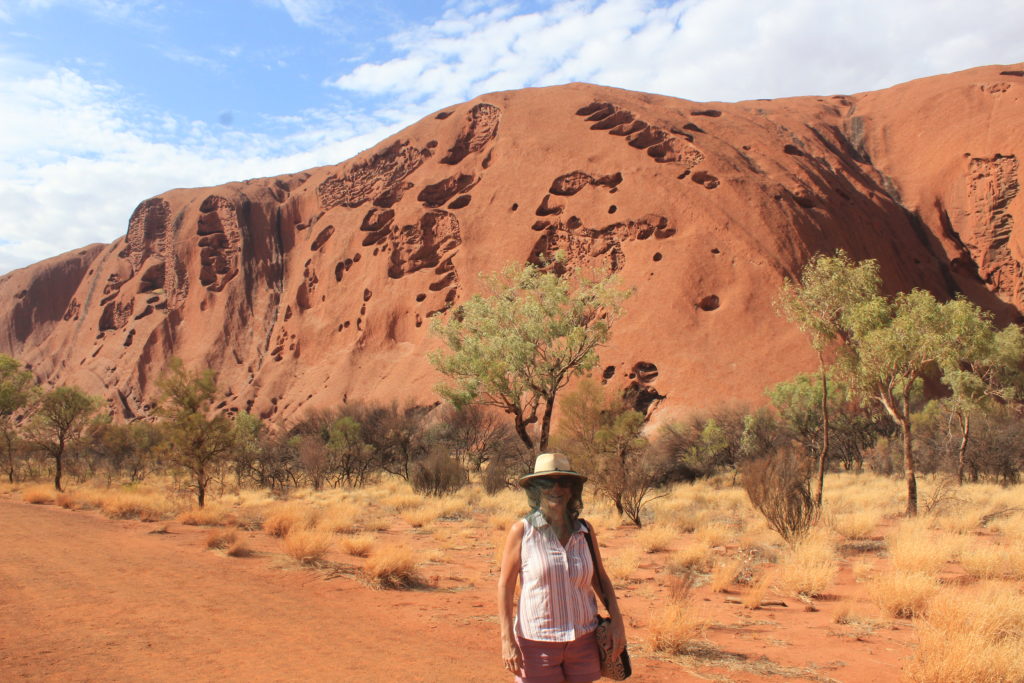
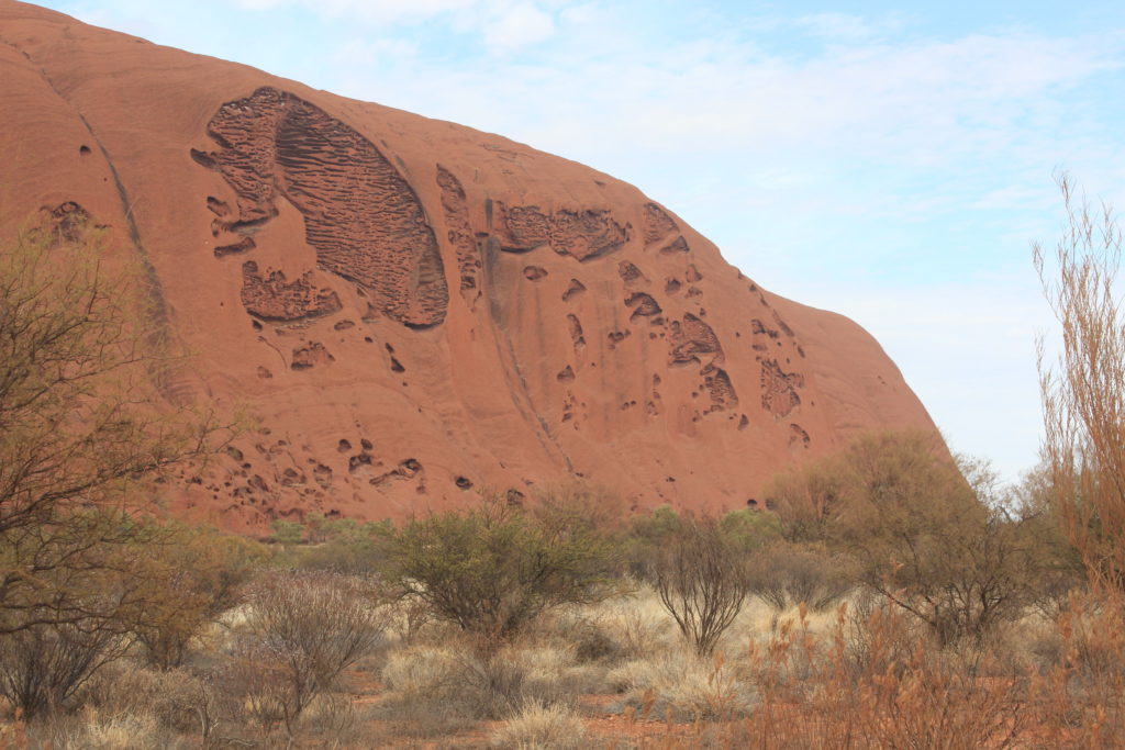
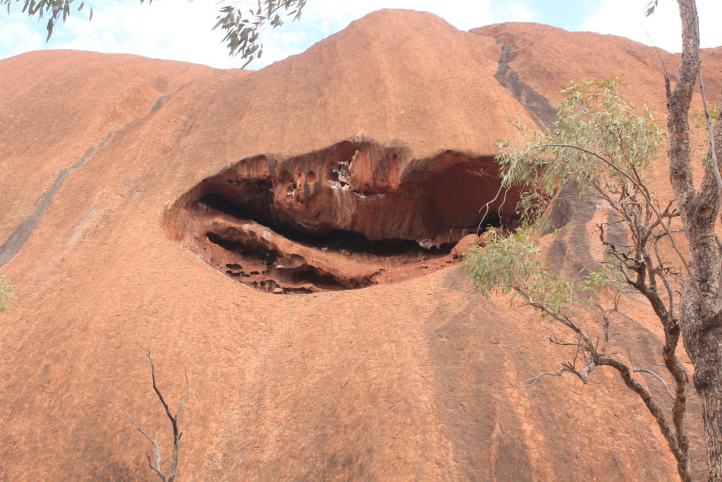
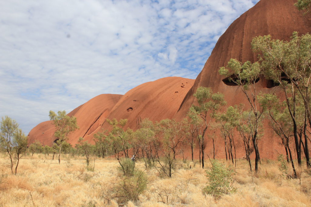
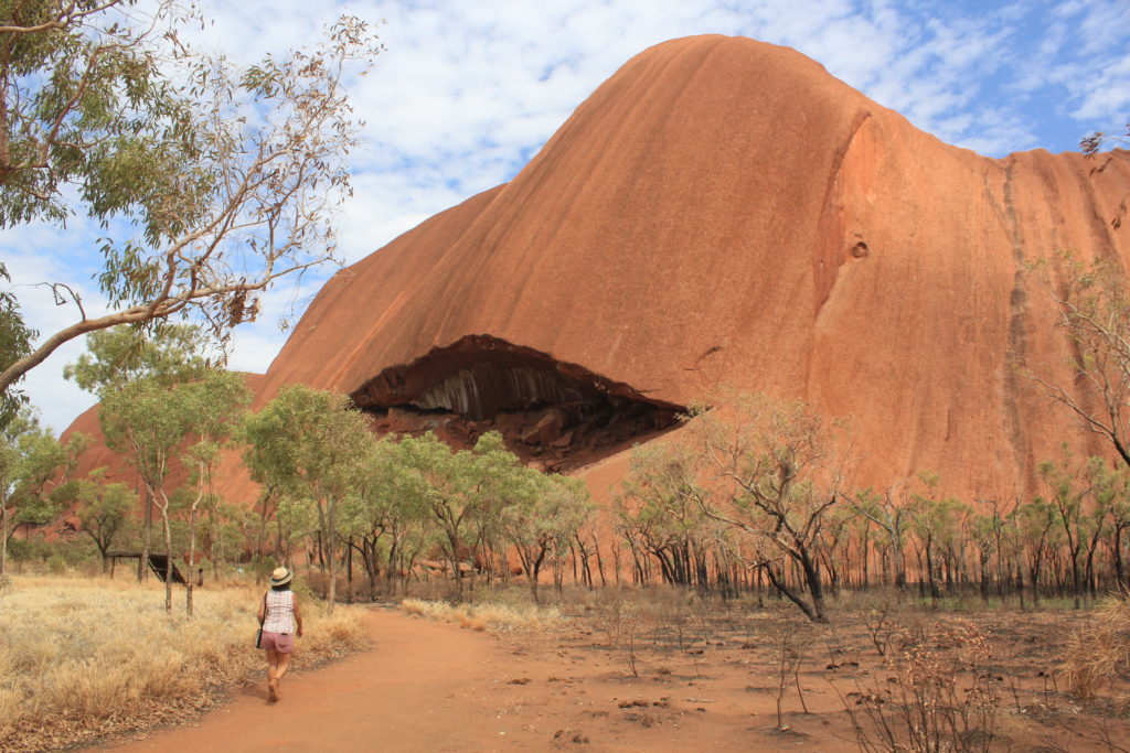
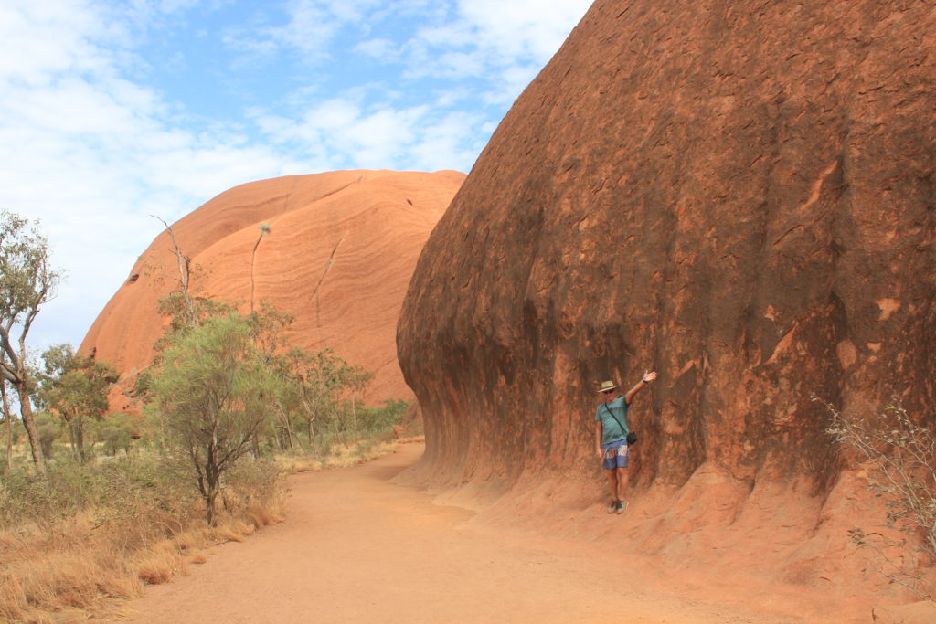
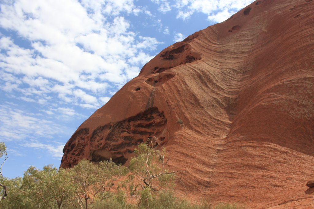
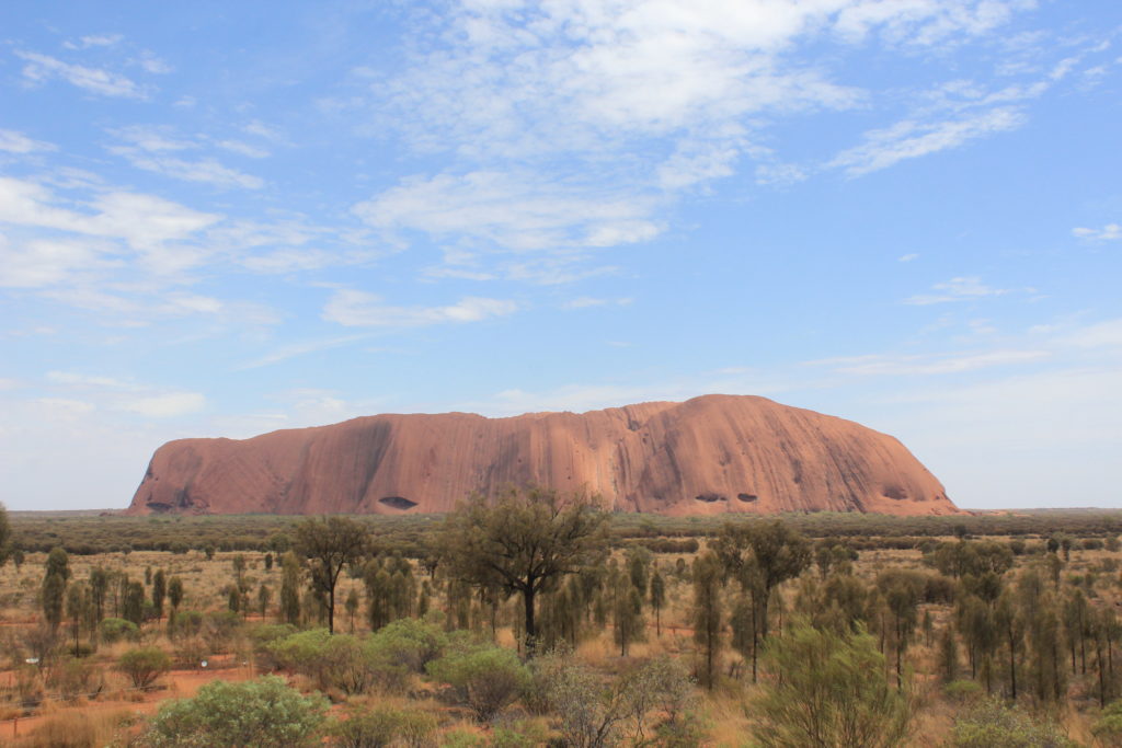
The next day it was up quite early and off to Uluru.  We had planned to do the walk around the rock and were undecided on whether to do the actual climb.  The walk around Uluru is 10.6km on a very easy track.  From this walk there are other small walks that get you closer to the rock itself and into some gorges close to the base.  You also get to see some of the impressive geological features of the rock as well while doing the walk.  When we arrived in the morning the actual climb for the rock was closed due to high winds at the top. The walk took us about 2.5 hrs and we rewarded ourselves with an ice cream at the end of it. 

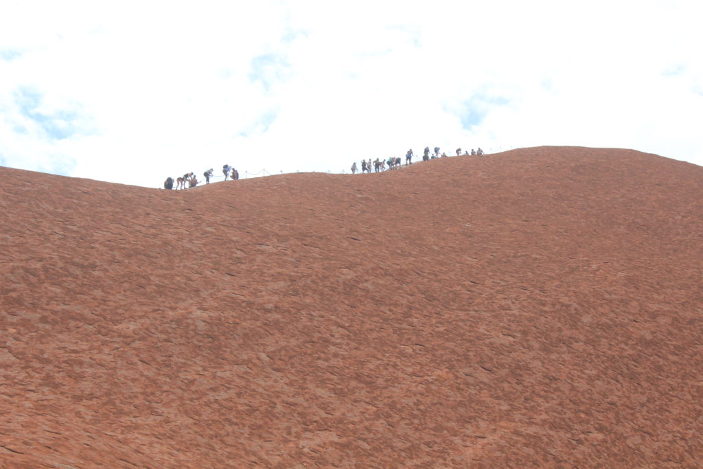
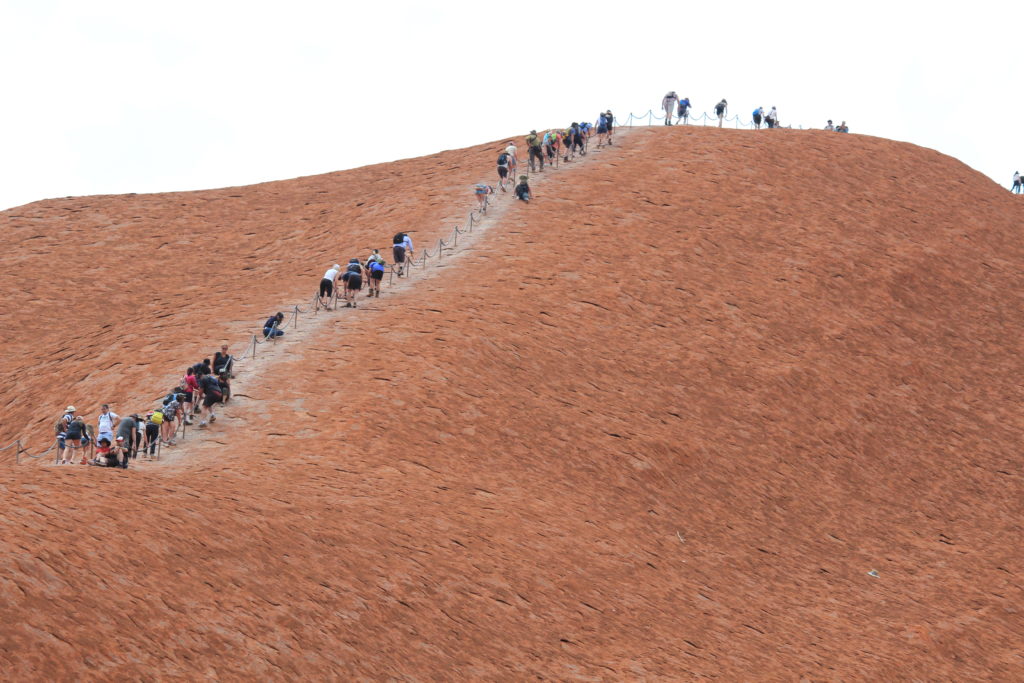
When we got back the rock was open to climbers.  It was also quite warm by this time so we decided that we wouldn’t bother climbing and sat for about 20 minutes watching people start the climb.  It was interesting to see how unprepared some people are for this climb.  Some were attempting it without carrying any water or wearing a hat.  Others also did not get very far up before they realised that they had a fear of heights and then had to try and come down again.  After watching you could understand why they wanted to stop people from climbing Uluru.

Our first close look at Uluru
Uluru Base Walk
Uluru Base Walk
Uluru Base Walk
Uluru Base Walk
Uluru Base Walk
Uluru Base Walk
Uluru Base Walk
Uluru Base Walk
Uluru Base Walk
Uluru Base Walk
Climbers on Uluru
Climbers on Uluru
Uluru
Uluru with Kata Tjuta (Olga’s) in the background

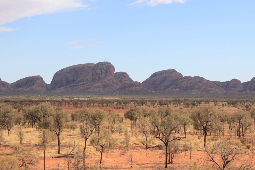
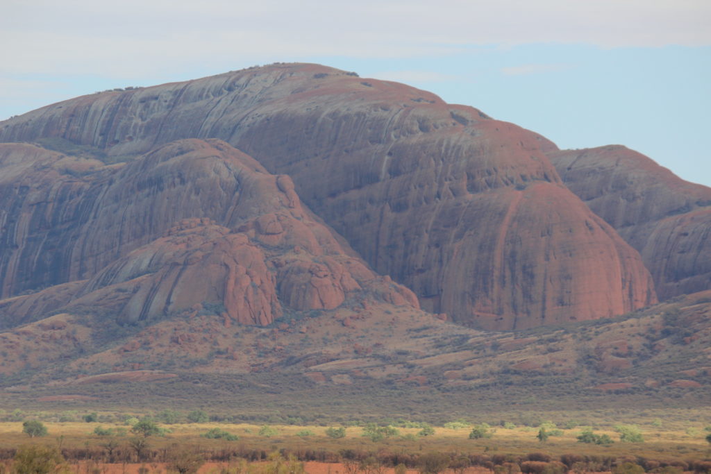
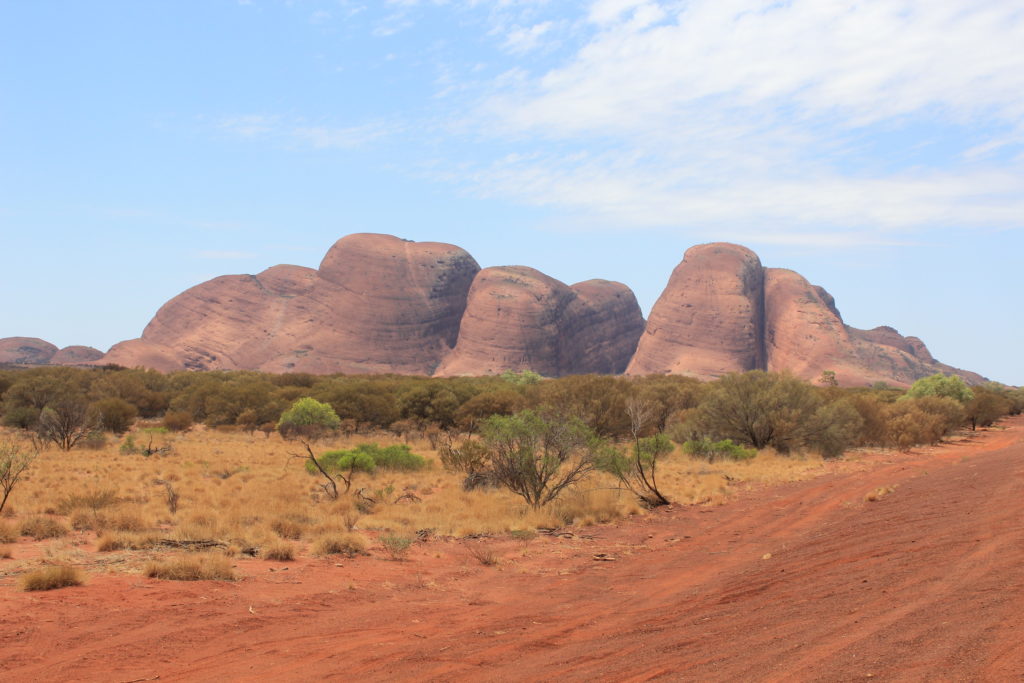
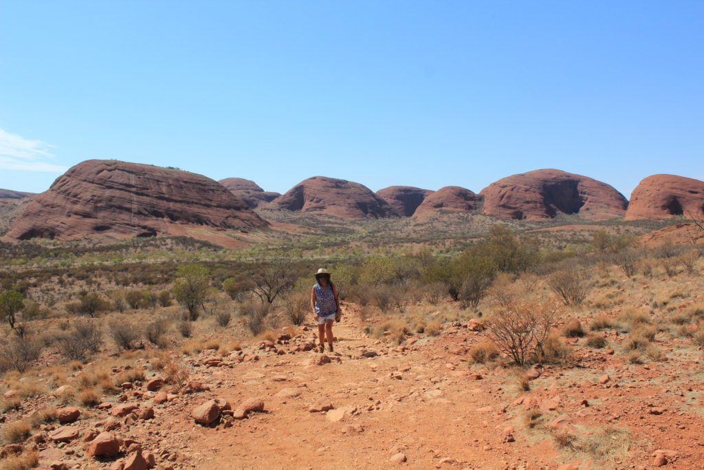
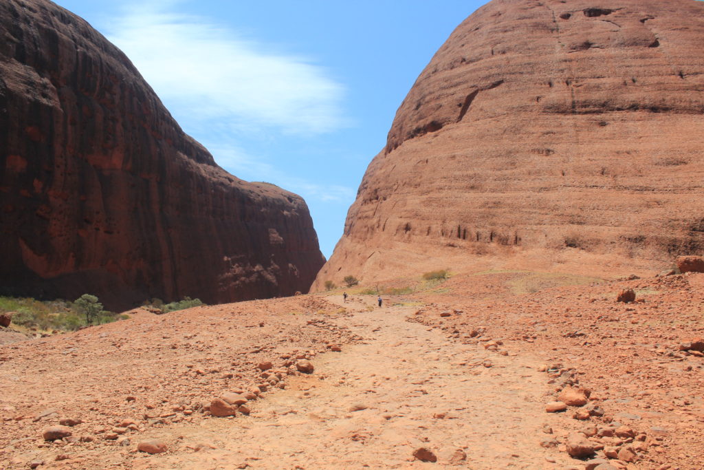
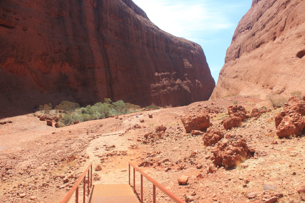
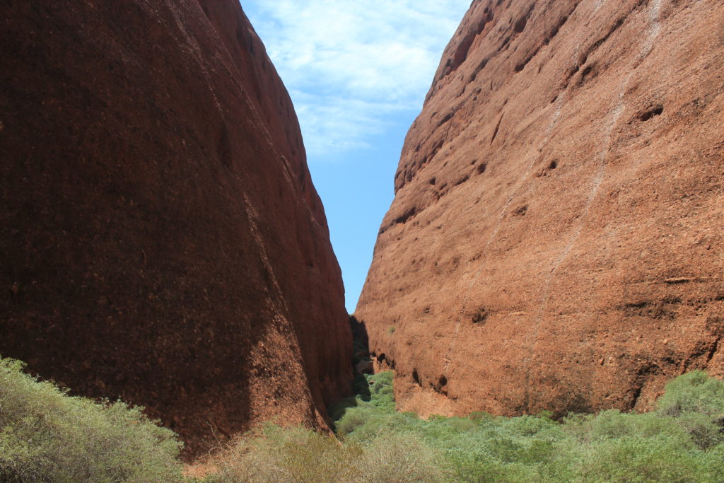
We were planning on doing the sunset viewing of Uluru but the late afternoons have been a bit cloudy and not the best for viewing.  Hopefully we might get one night before we go.  Kata Tjuta or “The Olga’s”,  were our next walking trek.  These are about a 50km drive from Yulara but along a nice sealed road.  This is also the road we will be taking when we leave to go back to WA.

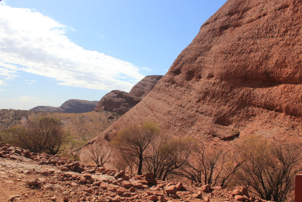
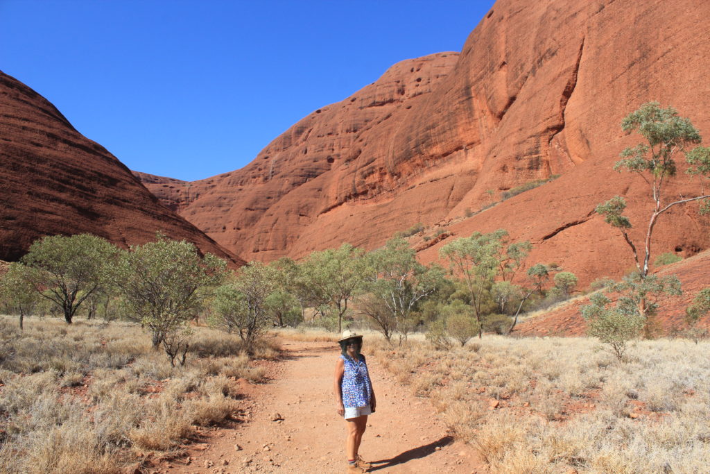
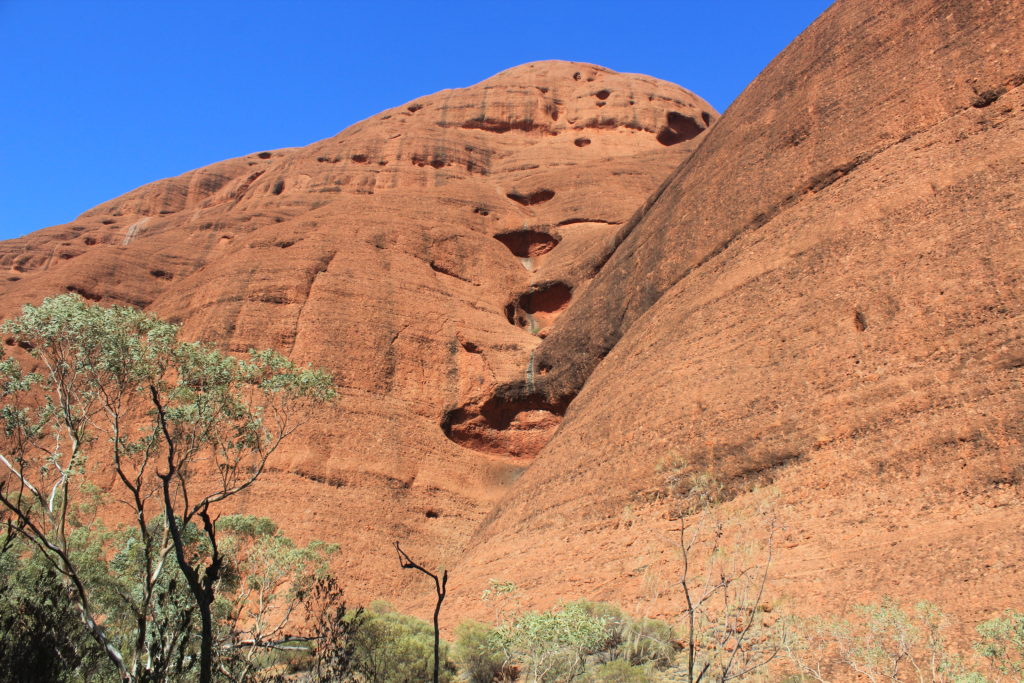
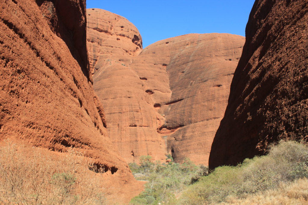
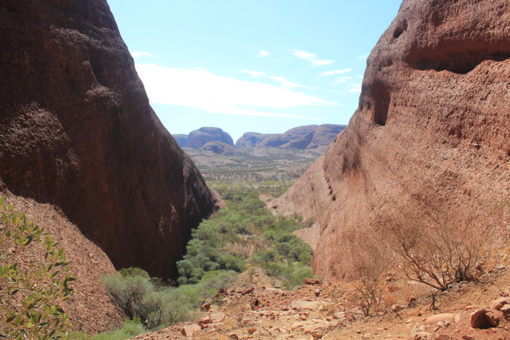
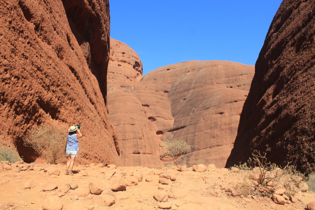
We really enjoyed the walk at Kata Tjuta.  There are a couple of options that you can do for the walk by either going to one or two lookouts or you can keep on walking and do the circuit.  Which is what we did.   This is about a 7.4 km circuit and takes you around the back of one of the largest dome shaped formations.  Of the two lookouts, Karingana is the pick of them.  This takes you to the Valley of The Winds which at times can be very strong coming between the domes.  On our walk the wind was very gentle, just enough to keep you a bit cooler.  We did prefer our walk around Kata Tjuta more that the walk around Uluru.  There were a lot more interesting things to look at on this walk plus it was also a little bit more difficult as well. 

Kata Tjuta (Olga’s)
Kata Tjuta (Olga’s)
Kata Tjuta (Olga’s)
Kata Tjuta (Olga’s)
Kata Tjuta full circuit walk
Kata Tjuta Valley of The Winds
Kata Tjuta full circuit walk

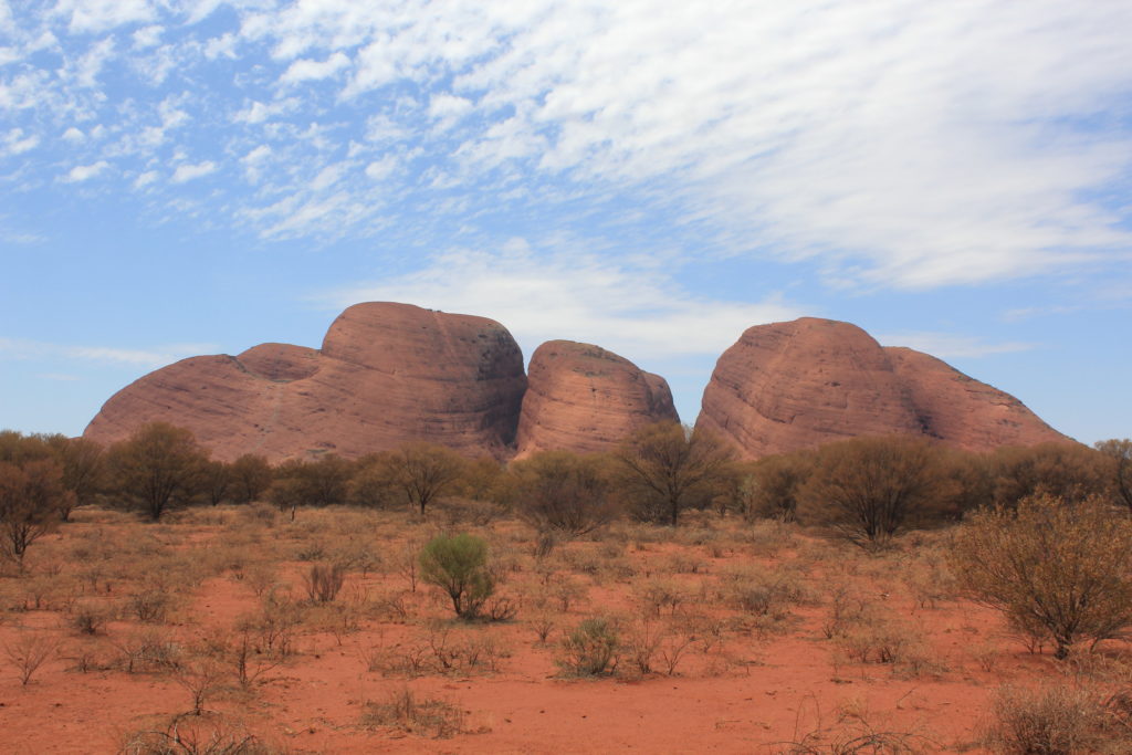
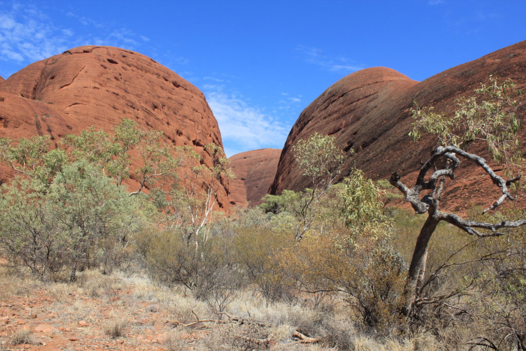
We finished off our visit to Kata Tjuta with a walk to Walpa Gorge. We were a bit dis appointed with this walk. I think we may have been a bit to spoilt with all the other gorges we have seen on our travels. Also being so dry at the moment did not make the gorge look as good as it probably does usually.

Walpa Gorge Walk
Walpa Gorge Walk
Walpa Gorge Walk

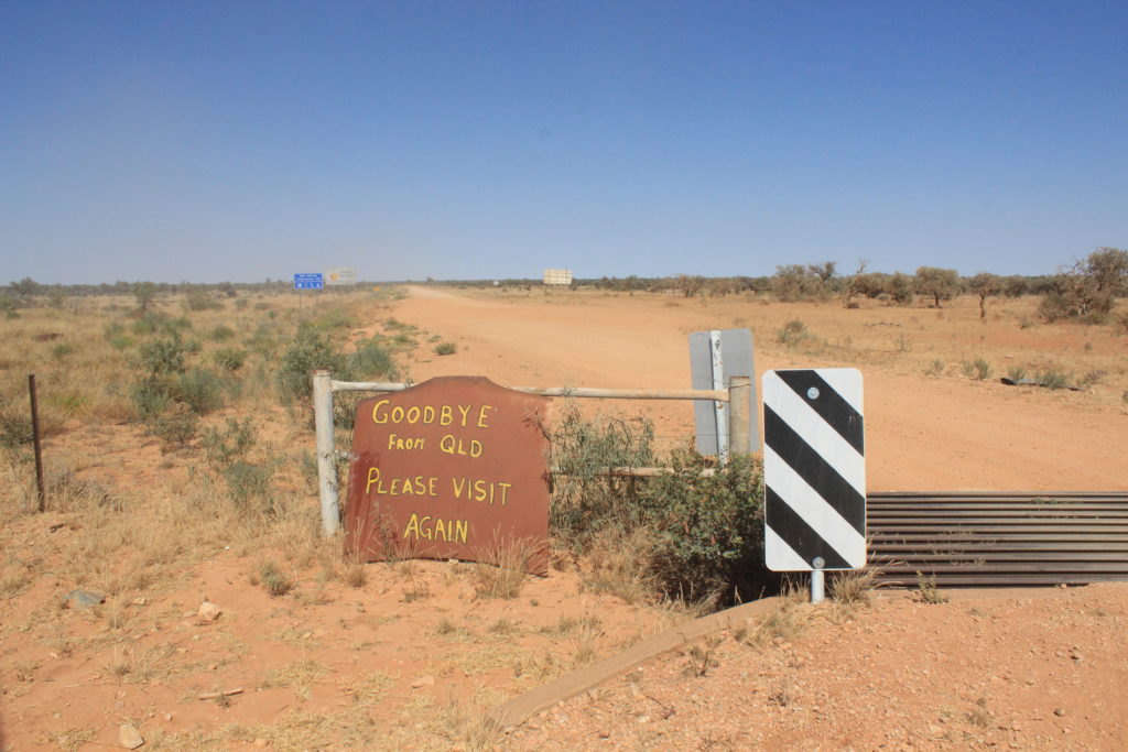
Well tomorrow we leave Uluru and start our next dirt section back to WA.  Hopefully all goes well for us and we don’t have any issues with either the van or car during the trip back.  As the weather is quite warm also we wouldn’t like to be stuck out here any longer than we need to be.

Mt Isa – Alice Springs

This section we felt was the start of our trip back to WA.  From Mt Isa we were heading down to Tobermorey Station and then across to Alice Springs via the Plenty Highway.  We weren’t being very lucky with the weather though and the hot weather was definitely staying with us on our departure from Mt Isa and looks like staying with us for a while yet.

Instead of going down the Diamantina Development Road all the way to Boulia then across to Alice Springs we decided on turning off about 90 km’s south of Mt Isa and head across to Urandangie and then down to Tobermorey.  The gravel road section from the turn off to Urandangie was excellent and I think spoiled us a bit for what was ahead of us.  On the drive to Urandangie there have been a lot of signs put up using old car bonnets that make light hearted jokes of what Urandangie has to offer the weary traveller.  Obviously very different when you get there as there is no McDonald’s or Woollies etc.

Greeting sign at the Urandangie Hotel lets you know what not to expect

At Urandangie you can free camp at the back of the hotel and there is some nice green grass for you to pull up on.  Pam, the lovely lady who owns the hotel shows you where you can pull up and park and you also have use of the toilets and showers at the hotel.  Very friendly and accommodating.  The only downside of the stay at the hotel was that they didn’t do meals.  We had been looking forward to a pub meal and were disappointed to find out that they weren’t available.

There is about four houses at Urandangie and these are mainly all aboriginal houses.  Aboriginals make up nearly all the small population of Urandangie.  Pretty lucky as they have a hotel nearly all to themselves.  That night it was Pam’s birthday and we were invited over to the hotel for a few drinks and help celebrate.  It was good fun and we got to talk to some of the local station owners from around the area.  It was also one of those places where trust was relied upon and when you wanted a drink you served yourself and left the money on the bar.  We haven’t seen that before in our trips around Australia so far.  It was a good night out and we would probably do this part of the trip again to Urandangie if it fit’s in with our travels.

Urandangie Information Centre
Camped at the back of the Urandangie Hotel. Lovely green grass and even some extra company
Urandangie Hotel swimming pool
Urandangie Hotel
Urandangie Hotel
Someone who didn’t quite make it out of town
You just obey all the local signage
Orphaned kangaroos at Urandangie just loved to be cuddled
Orphaned kangaroos at Urandangie

Next day it was onward to Tobermorey Station and our start of the Plenty Highway.  We were told that the road to Tobermorey was good until the NT border then a bit ordinary after that.  Guess what, they were right.  As soon as you cross the cattle grid on the border you were met with a huge dust hole that you couldn’t really drive around or turn sharp enough around to avoid fully with a van on the back.  It was the first of several dust holes on the road section to Tobermorey and you didn’t have much choice but to go through them.  Even right on the edges were very dusty.

When we arrived at Tobermorey we were a bit undecided whether to keep going on a bit or stay.  We ended up staying the night which was OK but in hindsight probably should have driven on a bit further as it was only just getting to midday when we arrived.   They have a nice green camping area and fairly new showers and toilets.  I think its when you see the nice green camping area that you think “lets just stay here for the night”.  We did see a pair of brolga’s that came near the campground which was nice as we were able to get quite close to them.

WE turned left out of Urandangie
Letting you know that the road was going to get a bit rougher
Not much out in this part of the country
We had an early morning tea stop – just no trees for shade out here
Queensland saying farewell to you – you cant see it but there was a huge dust hole just on the other side of the grid
Back in the NT
Can you spot the spelling mistake in this sign
We had a bit of shade at Tobermorey Station
Brolga’s at Tobermorey Station

From Tobermorey it was the start of the Plenty Highway for us and Jervois Station was our next stop.  The road for the first 20 odd kilometres was pretty good and then it slowly got worse and was like that all the way to Jervois.  We were going over some of the worse corrugations we had been on and were down to about 30 km/h in some sections.  I didn’t seem to matter what side of the road you drove on, they were just bad.  The few good sections along the way still had a very rough surface.  It seemed to be a clay base with large rocks that continuously just shook you.

When stopped for a morning tea break and looked in the van, it was a bit of a site.  A plastic bottle of red cordial had split and we had sticky red cordial all over the floor.  Also two drawers had come open and Kaye’s spices had spilt everywhere.  There were yellows, reds and browns all over.  It looked like one of those Indian festivals you see where they throw coloured powder everywhere.  Luckily I managed to find a shady tree to park next to, while I waited for Kaye to clean up the mess.  After all the inside of the van is her domain and I was keeping well clear.

The day was also turning out to be the hottest day we have had so far, so it was good to get back on the road again after the mess was all cleaned up.  When we finally got to Jervois and opened up the van again you can imagine our surprise when most of Kaye’s remaining spices had done the same thing again.  What a day this was turning out to be.  Some learnings for us both for travelling on rough roads.  Luckily there were only a few minor things that had come loose on the van so while Kaye cleaned the inside of the van for a second time, I did my few small repairs on the rest of the van.  We both enjoyed a nice cold drink that night after all the “fun” we had had.  We were also the only ones camped at Jervois for the night, probably says something about how silly we are for travelling in this heat in remote areas.

Just on from Tobermorey Station – the Highway was good up to about here then got worse for us
Giant anthill on the side of the Plenty Highway
Trying to find the shadiest spot we could at Jervois Station
This was the hottest day we had had so far on our trip

Well after a very hot and restless sleep we were on the road again quite early for us the next day.  We left Jervois around 8:30 in the morning and Gemtree CP was where we were headed.  We were told that the road was a bit better from here so we had our fingers crossed that it was.  There were a lot less corrugations but it still had what seemed to be a clay base with large rocks in it that gave a continuous rough ride.  In contrast to the previous day, when we did drive over the sandy sections of the road these were not very corrugated at all.  We certainly did appreciate the smoother sections of dirt.  We also had a lot less dust today as well which was nice for a change.

On our morning tea stop we were wondering what we might find when we opened the door to the van.  Luckily for us it all seemed quite good.  We had broken some plastic catches to the drawers so we replaced those with some spares we had.  Other than that it was all we could see that was wrong.  It was a bit different when we got to Gemtree though.  After we had set up camp and were having a good look around the inside and outside of the van, we noticed that the top plastic hinge of the freezer door had cracked.  The door had stayed shut but this still was a problem for us as were doing quite a bit more gravel on our way home.  There wasn’t much we could do about it at Gemtree and decided to wait until we got to Alice Springs and worry about it there.

We had seen Gemtree advertised on the TV over the course of our travels and were looking forward to staying here.  After seeing the place we were a bit disappointed with what was there.  There wasn’t much shade and the campground was very barren looking.  The pool was nice though and we did go for a late afternoon swim once we had sorted the van out again.

A bit of outback station art
This was a nice smooth section of the highway from Jervois to Gemtree. Good for a smoko break and check the van

From Gemtree it was a nice smooth run on bitumen into Alice Springs.  We are only here for two nights hopefully.  We have decided that to fix the freezer door we will buy some fibre glass repair kit and try mending it with that.  We don’t really want to stay any longer in Alice Springs if we can help it.  We also have one tyre on the van that is scrubbing out a bit so have managed to book this in to have an alignment on the morning we leave.  We would probably be OK for the trip home but thought if we get it done then its one less thing that can go wrong on the gravel.

We had no trouble getting into the caravan park in Alice Springs.  at this time of the year there are not to many travellers on the road.  They are forecasting some temperatures in the low 30’s in a couple of days so hopefully they are right.

Not many in the caravan park with us at this time of year

Well we have done all our repairs that we can see to the van so hopefully it will be good until we get back to WA.  There isn’t much west of Alice Springs that you can rely upon for any parts etc. 

From Alice Springs we are heading out to Kings Canyon, then Uluru for a look.  After Uluru we start our next gravel section back to WA on the Great Central Road.  We would really like the weather to stay a bit cooler for us, hopefully it does.

Hughenden – Mt Isa

Richmond was our next stop over for a couple of days.  This was only a short 115 km drive down the road from Hughenden.  Richmond is also part of the dinosaur trail through outback Queensland.  As the weather is  quite a bit warmer now there definitely are a lot less grey nomads on the road.  Quite a few families travelling as it is the school holidays so the caravan parks can be a bit noisier than usual.

Morning tea stop at Nonda on the road to Richmond

We stayed at the Lakeview Caravan Park and the lake beside the park was very impressive.  We were expecting to see an almost dry lake and were very surprised to see a lake very full of water.  It was also well set up for swimming in, which we did a couple of times.  The lake is called Lake Fred Tinton and is set up for water skiing, canoeing and fishing.  They hold a fishing competition here every year and the lake is stocked with 18 species of fish.

You can go fossil hunting at Richmond as well.  There is a couple of sites about 12 kilometres out of town that are open to the public to  go and look around on.  We thought we would save this for another time as Richmond was turning on some nice warm weather for us.

Kronosaurus Korner is a very informative marine fossil museum on the main street that houses over 1000 registered fossils from the Richmond area.  This museum is well worth a visit.  “Penny” the polycotylid is one of the most complete vertebrate fossils in the world and looks very impressive in its laid out form.   The Cambridge Display Centre is a replica building of the original Cambridge Downs Station Homestead and shows off artefacts and stories from the last 150 years of Richmond’s history.  This was free and also worth the time to look at.

At the Lakeview Caravan Park in Richmond
Lake Fred Tilton at Richmond
Nice colours in Richmond streets
Kronosaurus Korner at Richmond
Penny the polycotylid at Kronosaurus Korner Fossil Museum
Fossils on display at Kronosaurus Korner Fossil Museum
Cambridge Heritage Display Centre

We quite enjoyed Richmond and would easily stay here again if ever this way again.  Julia Creek was our next stop.  This was about 150 km down the road.  We had heard quite a lot about this place and were looking forward to stopping here and having a look around.  Our travel day was also accompanied by some very strong winds and for a change we had the wind behind us.  Normally we always seem to cop a head wind so this was a bit of a bonus for us.

We had planned to stay just out of Julia Creek at the free camp they have there near the creek.  When we got there it was very dusty and not very inviting at all so we decided to go to the caravan park instead.  We didn’t really do very much in Julia Creek at all while there.  We didn’t actually think there was much around to see.  The lady we spoke to at the tourist centre didn’t really help us much at all with things to see and do around the area.

Although Julia Creek was a nice little town we were a bit disappointed with what it had to offer.  If it didn’t have the camp area just out of town that would be very nice to stay at during the cooler months, we felt that there wasn’t much here at all.  At the caravan park they had some hot spring baths that you could use but it was going to cost you $25 each for one hour.  We said thanks but no thanks and went to the local pool for free with the tokens they give you.

Julia Creek Caravan Park
Julia Creek main street
Brolga walking near the caravan park
The impressive Spirit of The Light Horse sculpture at the Julia Creek RSL

To be fair Julia Creek might be one of towns we need to come back to and see if we find it different another time. We are sure it must be a lot nicer when it is a bit cooler and not windy and dusty like when we were here.

Clem Walton Park was our next destination.  This is roughly halfway between Cloncurry and Mt Isa.  We stayed here about four years ago and really liked it.  You can camp on grass right next to the waters edge, you cant ask for better than that in the middle of the outback.  We also weren’t expecting it to be very crowded given the warm weather we are currently having. 

Clem Walton Park is next to Corella Dam that you can also free camp at.  This is quite popular and there were a few camping here when we drove in.  To get to Clem Walton Park you have to go through a second gate and along a bit of a rocky road and I think this puts a few people off from coming into this part.  Clem Walton is alongside the Corella River and with all the bird and animal life it attracts it can be quite idyllic in its setting.  We were also glad to see there was hardly anyone here.  A bit selfish but we do like it when there are not many people around us.  We were planning a two night stay but stayed for three instead.  Although it was warm with a couple of swims each day we were able to cool off easily.

Camping at Clem Walton Park
The best way to cool off on a warm day
We had a daily visitor keeping a eye on us
Lots of interesting wildlife to keep us amused
Corella Dam
Corella Dam
Walking around Corella Dam

Clem Walton is one place you should put on your places to visit.  Our second time here was still as impressive as our first and we would definitely make the effort to stay here again.  Mt Isa was our next stop just a short 70 km drive down the Barkly Highway.  We are only here for a couple of nights to get a few supplies before we start our next stage across the gravel.  The only thing we did do in Mt Isa was go for a picnic lunch out to Lake Moondarra.  This is the main water supply for Mt Isa and they have set up picnic areas around the edge.  Its a nice short drive out and well set up.

Lake Moondarra at My Isa

From Mt Isa we start our trip to Alice Springs.  We have decided to go via the Urandangie Road with our first night a stopover at the Urandangie Hotel.  We have read some good stories about this hotel so all going well we will be having dinner tomorrow night at the pub.  Going this way we will be travelling a bit more gravel so hopefully the road gods are kind to us and the road isn’t to corrugated.  Time will tell.

Mission Beach – Hughenden

Well it was very hard to leave Mission Beach but the road home was calling.  Milla Milla was our next stop inland.  There were a few things to see around this area with the waterfall drive being high on the list.  Milla Milla is mainly dominated by the diary industry and with the rolling green hills of the tableland, some of the scenery was very postcard like.

We booked into the Milla Milla tourist park and it was nice to get back to some sensible pricing for caravan park stays.  You certainly notice the difference after being near the coast.

At the Milla Milla Tourist Park
Milla Milla main street
Milla Milla – its all about the diary industry here
Statue for Christie Palmerston – early explorer of the district
Remains of a 870 year old Kauri tree that fell during a storm near Milla Milla

We did a couple of scenic drives around Milla Milla that took you through a lot of the diary farms around the district and also to some walks around the area.  Its a pity they don’t really name the drives, they just list them from 1 to 7 and you can do them as you like.  If you have the time they are certainly worth doing.   We chose one drive that took us along the road towards Ravenshoe but didn’t go all way there.  We did a couple of waterfalls then a short walk along the Hinson Creek Trail then home.  Filled in the afternoon very well.

Beautiful country around Milla Milla
Souita falls near Milla Milla
Pepina Falls near Milla Milla
On the Hinson Creek Trail

The Waterfall Drive just out of Milla Milla takes you past four waterfalls and is only around a 20 kilometre drive overall.  It also takes you to the Mungalli Creek Dairy that sells its own range of yoghurts and cheeses and they also do a very nice lunch as well.  A lot of the locals were saying how dry it has been around the area but we were still impressed at how green it all was.   The waterfalls were all flowing really well and it all made for a great day out.  This area with the waterfalls was also very popular for day trippers from the coast to drive to for the day.

Milla Milla Falls
Milla Milla Falls
Milla Milla Falls
Zillie Falls
Zillie Falls
Zillie Falls
Zillie Falls
Elinjja Falls
Elinjja Falls
Mungalli Waterfalls
Mungalli Waterfalls
Mungalli Waterfalls
Platypus at the top of Mungalli Waterfalls
The gentle waters at the top of Mungalli Waterfalls

Probably the pick of all the waterfalls for us was when we did the drive to Wooroonoonan NP and the walk into the spectacular Nandroya Falls.  This was a 7km return walk and was well worth it.  The walk is a loop and takes you through some unspoilt world heritage rainforest with a lot of interesting features to take in while walking..  The falls  would be around 40 plus metres high and very impressive.  What is also good about these bit longer walks is that most times you are the only ones there which makes it even better.  This would be the pick of our stay in Milla Milla.

The start of our walk to Nandroya Falls
There was pretty awesome scenery on our way to Nandroya Falls
The walk to Nandroya falls was our best yet
On our way to Nandroya Falls
We really enjoyed this walk
The spectacular Nandroya Falls

We really enjoyed our short stay in Milla Milla but it was time to leave.  Atherton was our next stop for a couple of nights.  This was only a short 40 kilometre drive up the road.  Love these short drive days.  We were catching up with Janet in Atherton.  We used to live next door to Janet in Wickham and had arranged to catch up and go out for a meal.  We stayed at Bonadio RV and Nature Park about 8 kilometres out of Atherton.  This was a great park situated on a farm with a large creek at the back that had a lot of platypus in it.  In the late afternoon you could walk along the creek and see anywhere up to 6 or 8 platypus in the water. 

We also did a day drive out to Nerada Tea Plantation.  This was supposed to be the place that you could almost be guaranteed to see tree kangaroos.  When we were here a few years ago we weren’t lucky enough to see any.  This time lady luck was with us and we saw two tree kangaroos.  This was the first time we had seen them in the wild.  We felt very lucky indeed.

Bonadio RV and Nature Park
Platypus at Bonadio Nature Park
Nerada Teat Plantation
Tree kangaroo at Nerada Tea Plantation
Night time animal feeding at Bonadio’s

It was great to catch up with Janet and Nikki and both seemed to be doing well since we last saw them.  From Atherton we drove a little bit southwest and stayed for a couple of nights at Pinnarendi Station Stay.  Our drive here took us through Ravenshoe which is Queensland’s highest town, which was also our morning tea stop.  We had stayed at Pinnarendi previously on our last trip through and they were only just starting out and weren’t really ready for visitors at that stage.  It was great to see how far they had come since that time. 

They do meals as well now and Kaye can fully recommend the coffee’s.  Not for me though.  Apparently the breakfasts are also very good but we didn’t partake in that indulgence.  The AFL Grand final was also on while we were there so that was a day of not doing very much at all.  Hot dogs and beers for lunch was the order of the day.  That night we had wood fired pizzas and if you are ever at Pinnarendi we can fully recommend these.  Very moorish and yummy.  They have a couple of walks you can do from the camp ground to some dams which we did both days.  Great hosts and a great stay, thoroughly recommend.

Morning tea stop at Ravenshoe – Queensland’s highest town
All set up at Pinnarendi
Setting out on the Dam Walk at Pinnarendi. The countryside was getting drier for us now.
The Garden Dam
The Main Dam
No1 Dam
No1 Dam

From Pinnarendi we did a 200km trip and stayed at the Moonstone Hill Campsite.  This is in the Blackbraes National Park that  is on the Kennedy Development Road that was a mixture of gravel and bitumen.  Right next to the campground is a fossicking area where you are allowed to look for moonstone.  This is a crystal like rock.  We tried a little bit of fossicking and found a couple of small pieces.  We didn’t really have the right equipment for fossicking which made it a bit hard.  The country here is very hard and rocky and we had trouble breaking into the surface.  Good fun though and filled in a bit of time.

Camped at Moonstone Hill Campsite
You can see part of the Kennedy development Road on the left
Fossicking for moonstone
The outline of a tree that has fallen and burnt out on the ground
Termite mounds at Moonstone Hill

We were the only ones at Moonstone for the night.  As the weather is getting a bit warmer we aren’t expecting to see to many travellers on some of these less travelled roads.  Hughenden was our next stop which was another 180km along a reasonably good gravel/bitumen road. 

Apparently we had been to Hughenden before but it didn’t ring any bells with me.  Kaye could remember it though I couldn’t.  Hughenden is one of three towns that form the dinosaur trail in Queensland.  The other two are Richmond and Winton.  There have been lots of dinosaur fossils found in this area and there seems to be a bit of healthy competition between the towns over this. 

We did a couple of drives while in Hughenden.  One was a 95 kilometre loop called the 4wd Basalt Byway.  We packed a picnic lunch and thought we would do the drive, stop somewhere for lunch then come back into town.  There really wasn’t much to see on the drive.  One lookout stop and that was about it.  The drive took you through some station country but there wasn’t all that much to see.  We ended up back in town just after midday so had lunch in one of the local parks.  After lunch we went out to Mt Walker to the lookouts.  They have set up six different lookouts on top of Mt Walker and you can walk to each one for a different view of the landscape.  They have done it really well and was a lot better than our morning drive.

Hughenden Allen Terry Caravan Park
Hughenden main street
Big windmill at Hughenden
The Ernest Henry Bridge over the Flinders River at Hughenden
Dinosaur statue at Hughenden
View from lookout on the 4WD Basalt Byway Drive
View from one of the lookouts at Mt Walker
Mt Walker at Hughenden

Its been good to be back travelling again after our extended break at Mission Beach.  It didn’t really take much to get into the groove with setting up and packing for a move.  We are noticing that the weather is getting a bit warmer than we had thought it would.  We are hoping that it doesn’t get to hot for our trip across the centre.