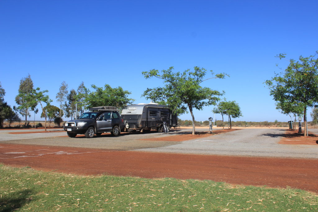
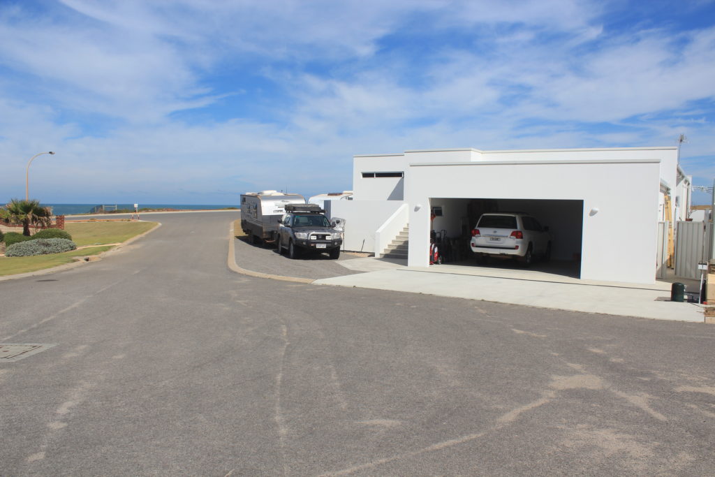
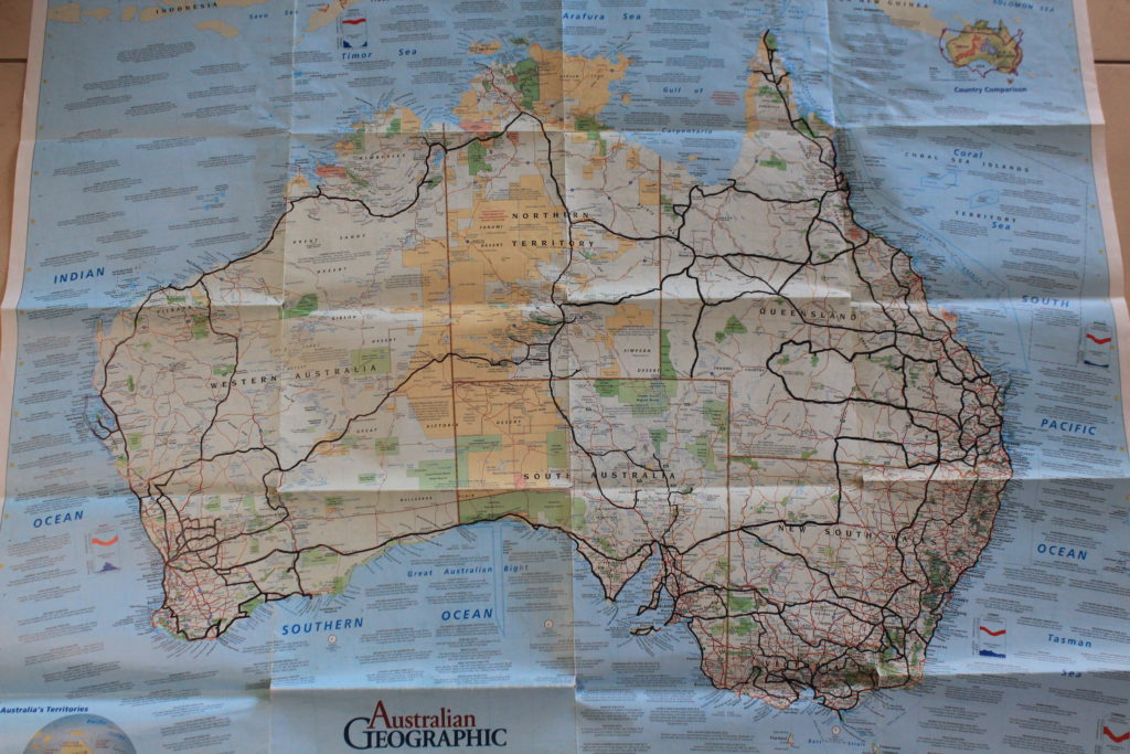
Well after being back in Perth for only a few weeks it seems like we have only just unpacked the caravan and we are off again. Renae asked us if we would be interested in walking the Cape to Cape Track from Cape Naturalise to Cape Leeuwin. We have been talking about doing this trek with Rob and Vicki Riebe for a couple of years and as we all have lots of free time on our side now Renae has pushed us to get on and do it.
After a few very important team meetings to discuss strategies and camping details we came up with a plan that would suit the age of the more senior walkers of our group. As we were going to be staying in our caravans we decided that we would do the trek by dividing it up into 3 x 2 day walks with a relocation/transition day in between. This would make our trip away a nine day getaway which suited us oldies very nicely. After each two day walk section we would relocate our vans to the next campsite. Renae thought we should just smash the walk out in the six days but as we would be down in the wine area we told her that the relocation day was required to allow us the chance to sample some local produce and restock on lost calories.
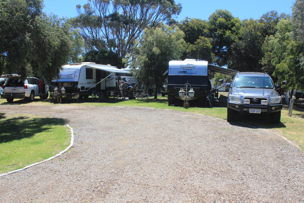
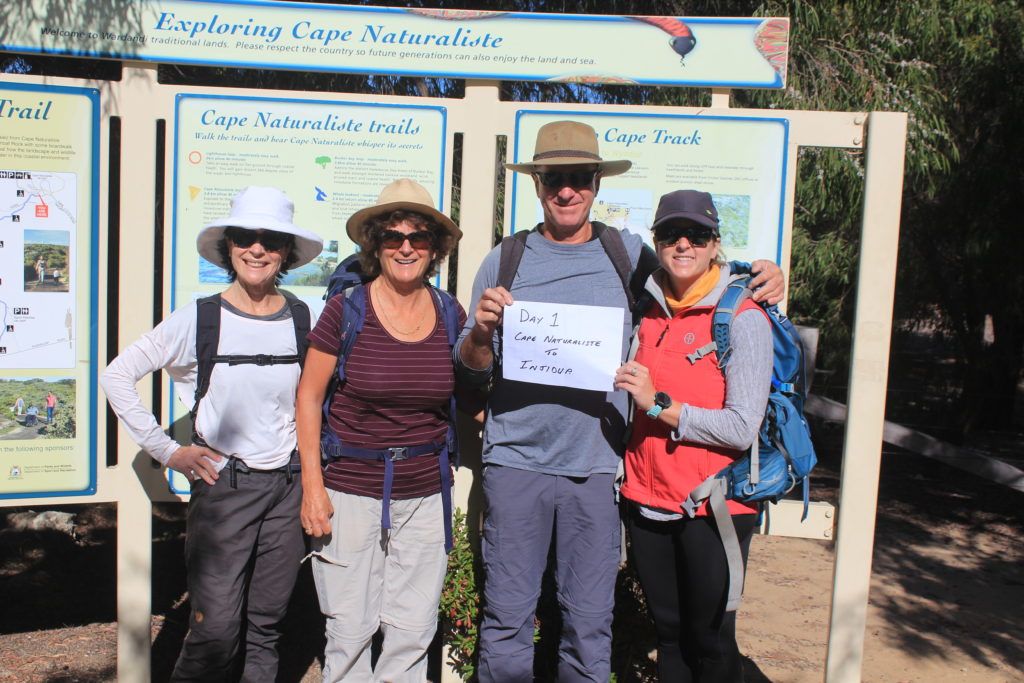
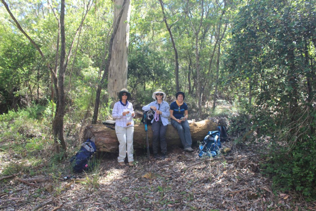
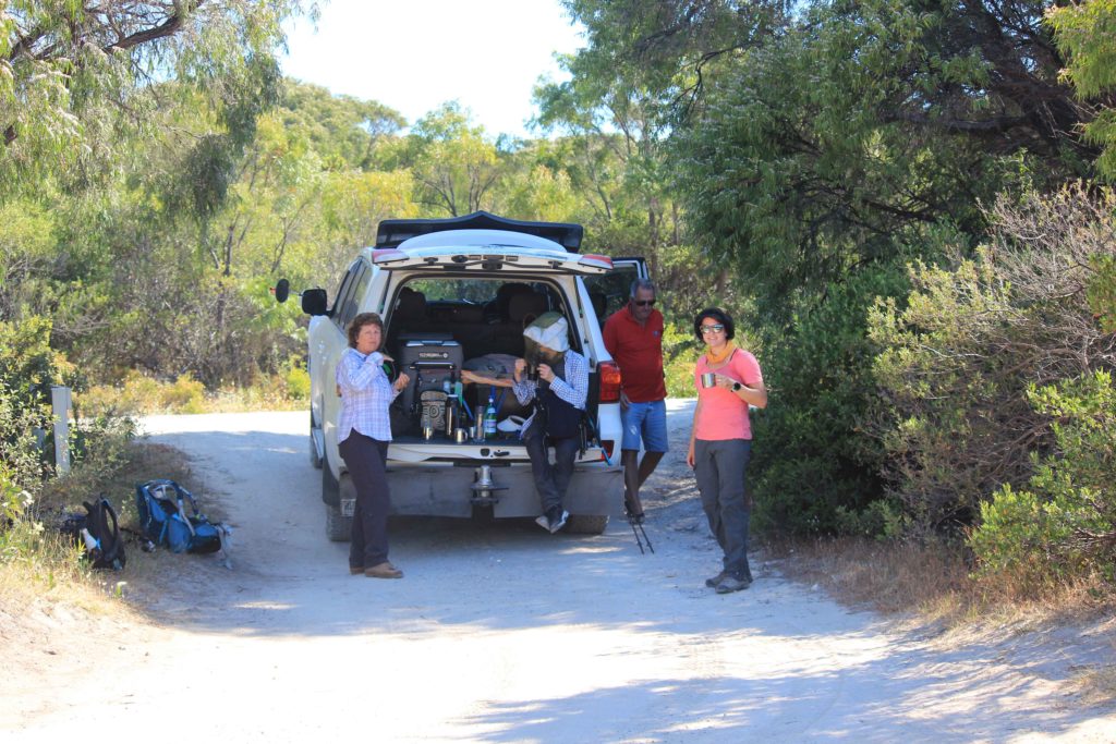
Day 1 of our trek started bright and early the next day with the alarm going off far to early for me. I think I might have over indulged with hydration drinks the night before as I was very keen to stay in bed. Any how it was up and at them and time to get the walking underway. There were only the four of us walking the trek, Vicki, Kaye, Renae and myself. Rob was staying back and being our drop off and pick up person each day as well as meeting us at prearranged places for morning tea and refreshment breaks. We were doing it tough you know on this trek. Having Rob available to do this for us on the trek was a real bonus and made the trek so much easier for us all.
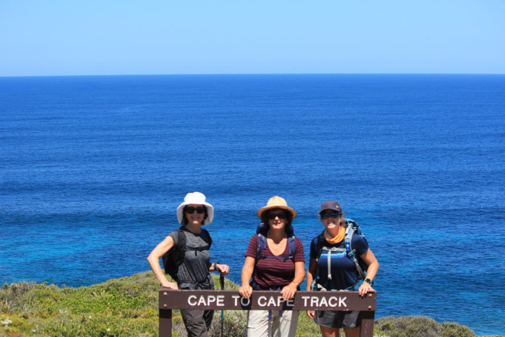
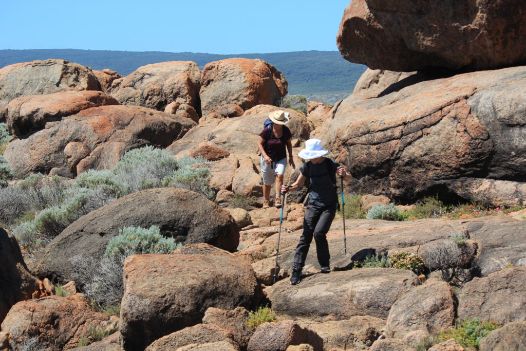
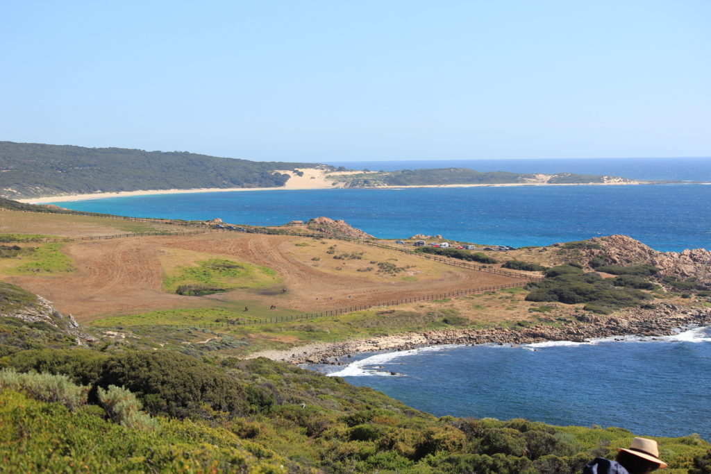
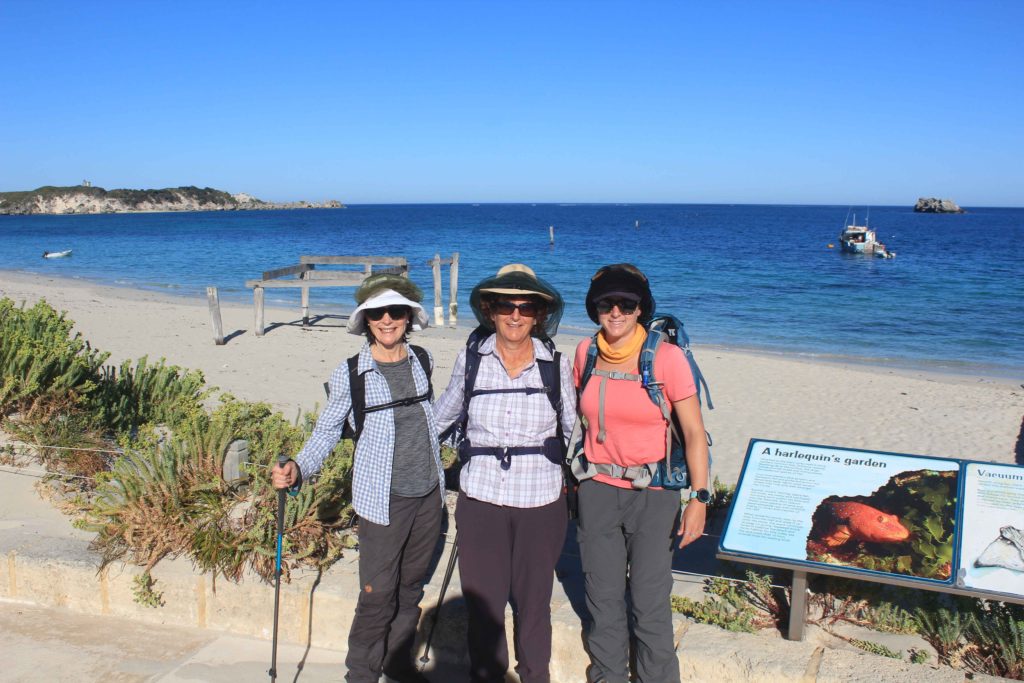
Any how after the shock of the early rise in the morning, Rob dropped us off at Cape Naturaliste and after a few hugs and farewells it was off on our first leg. Day 1 was to be just over 23 kilometres in duration, a piece of cake. The weather for our first day was absolutely perfect The forecast for our whole time away was actually very good with the weather gradually warming up as the week progressed.
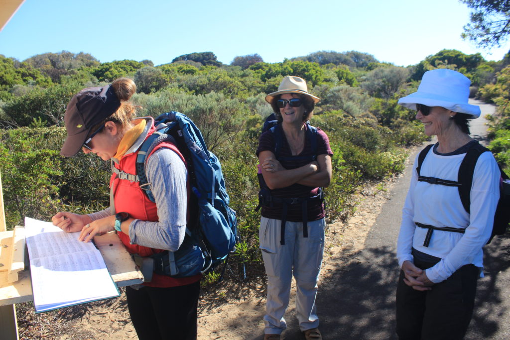
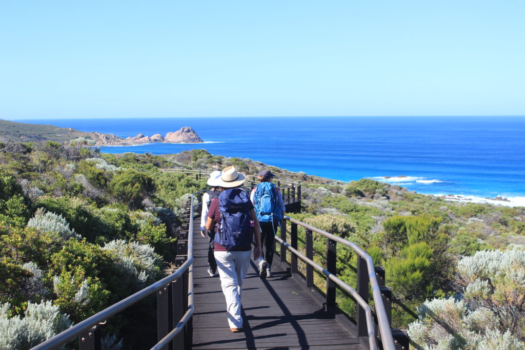
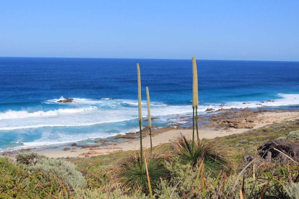
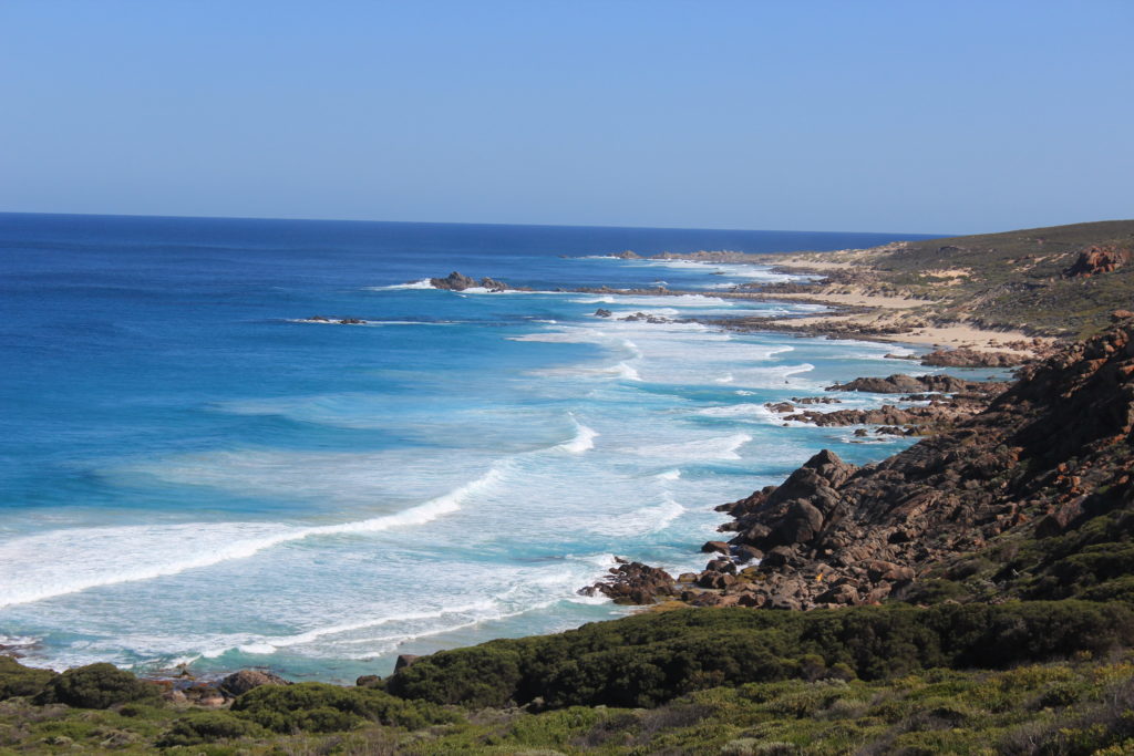
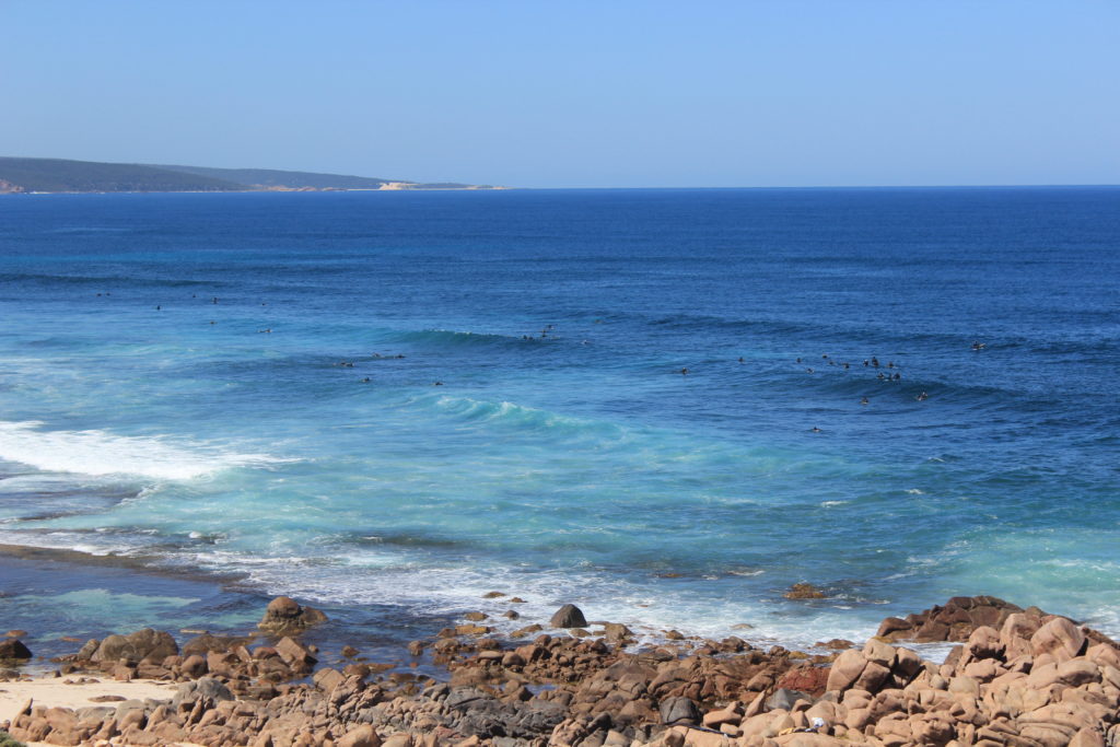
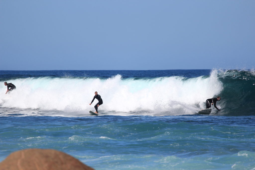
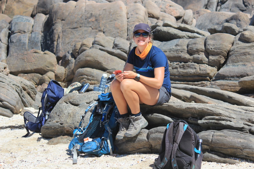
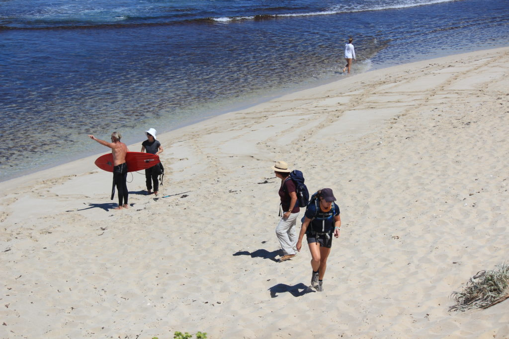
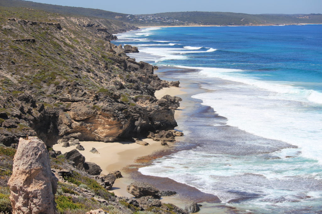
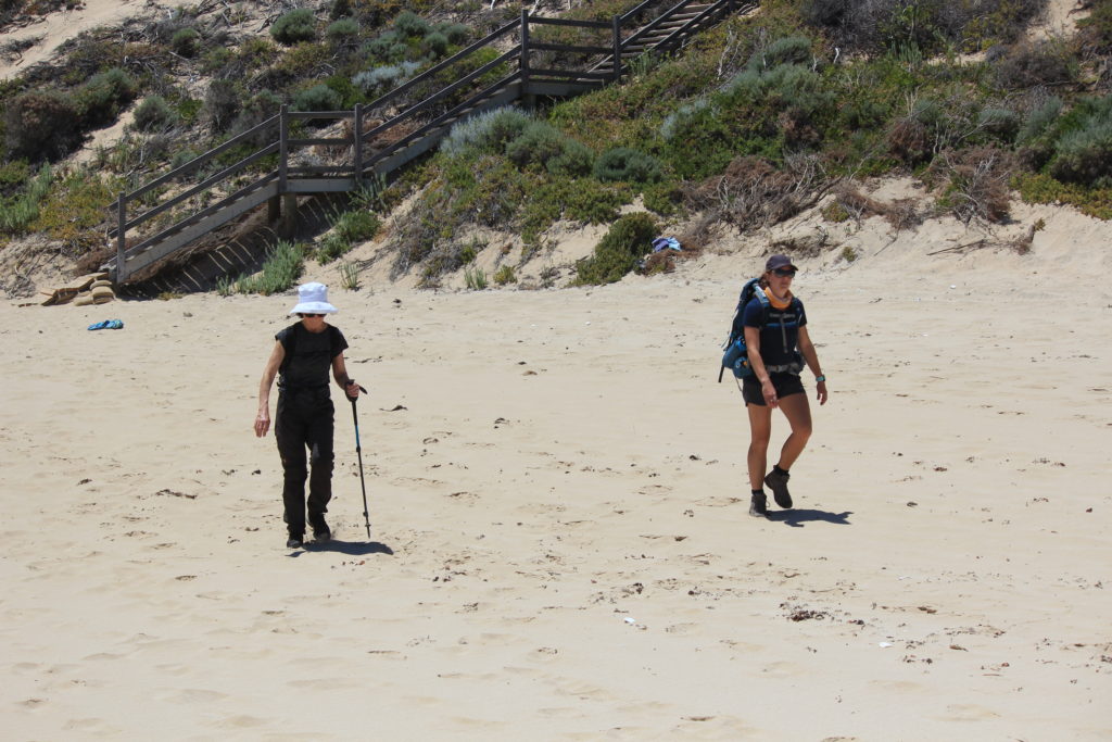
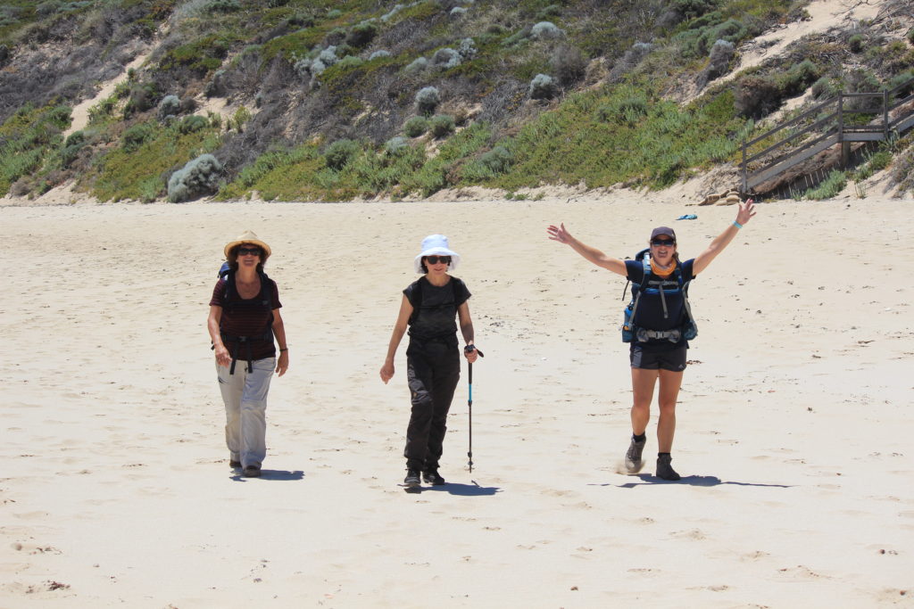
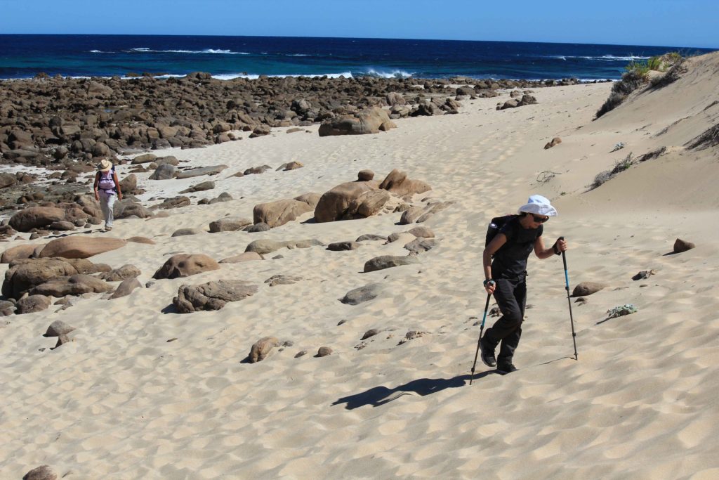
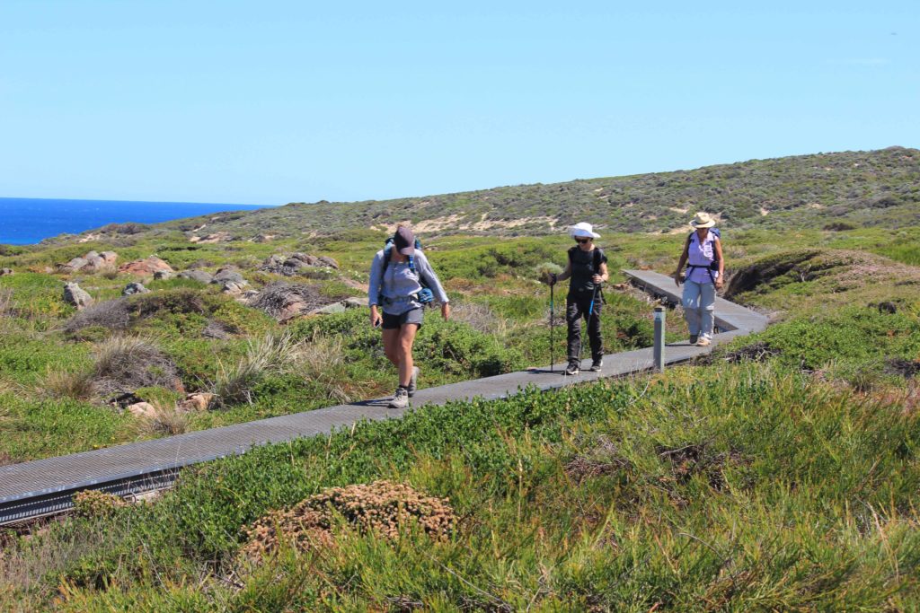
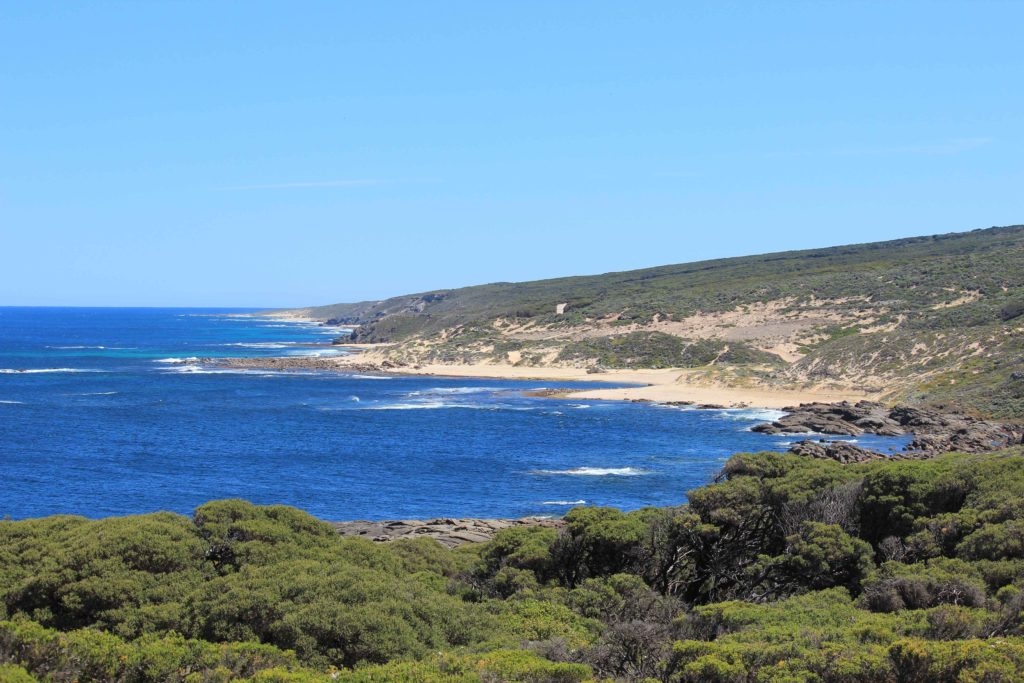
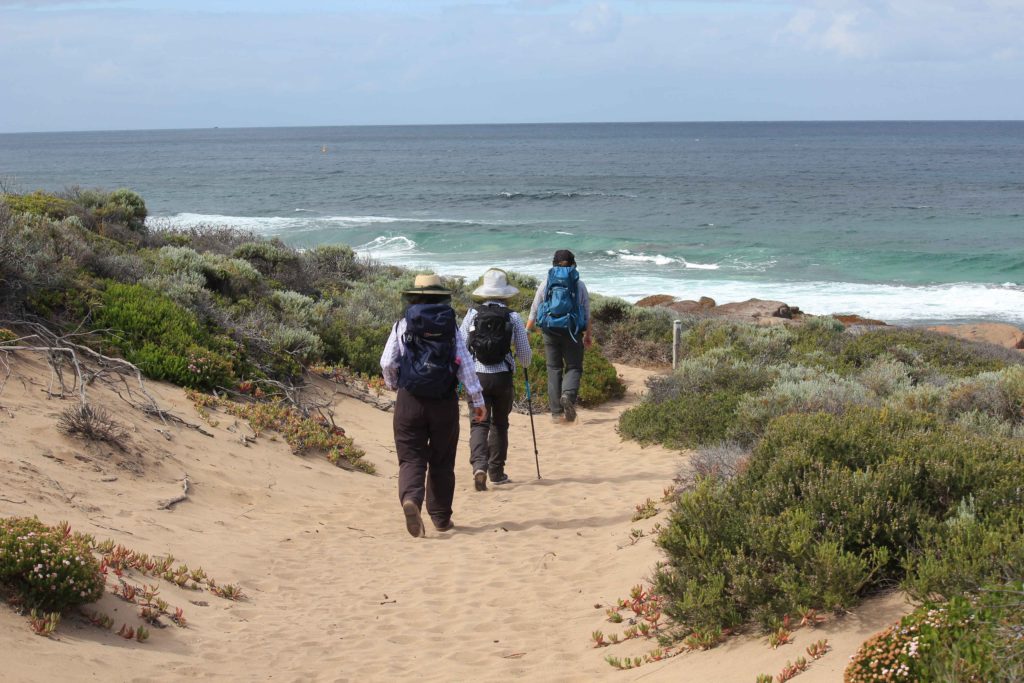
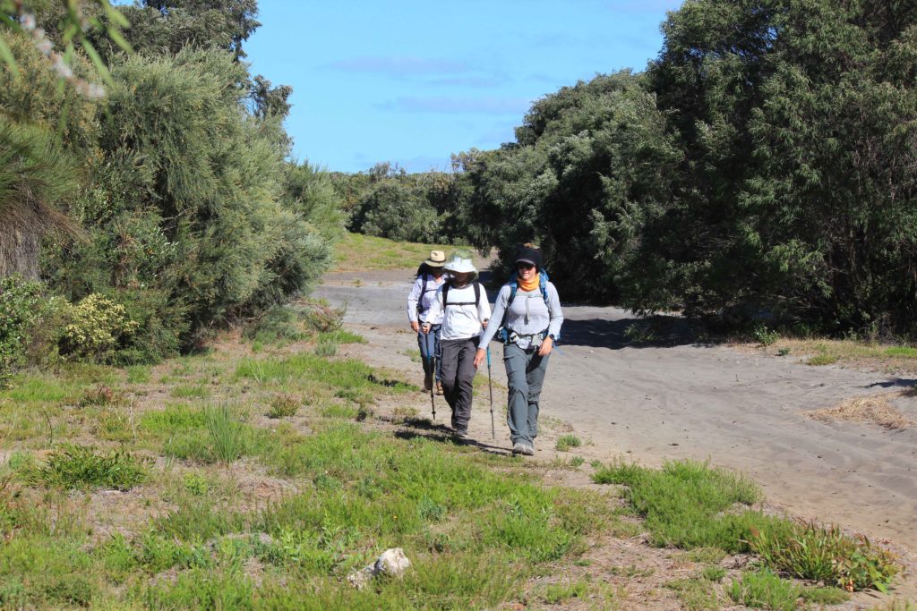
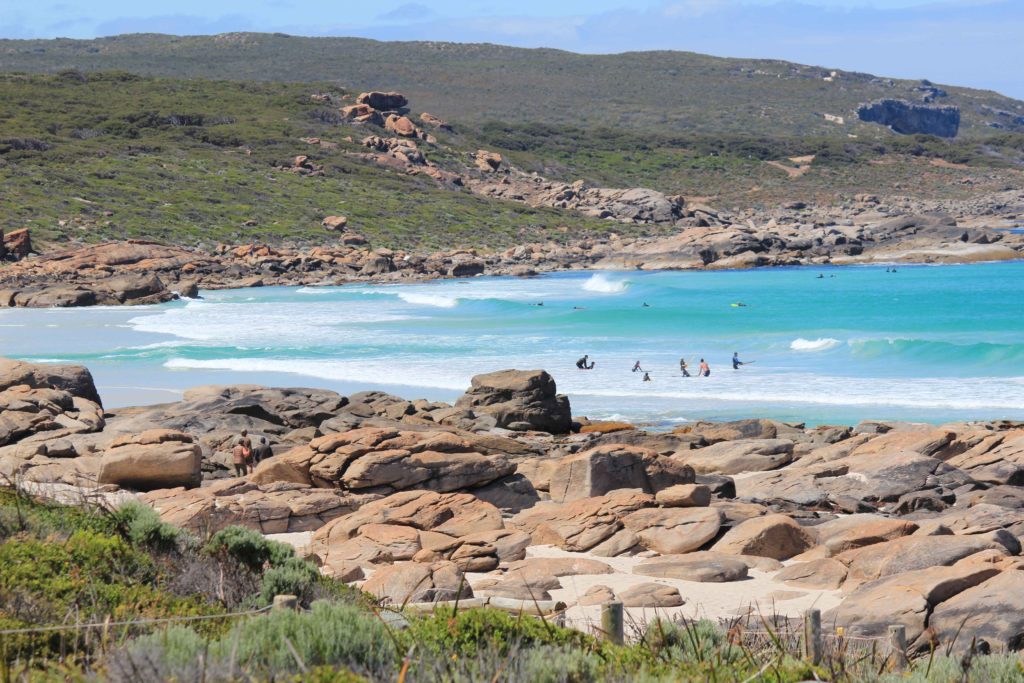
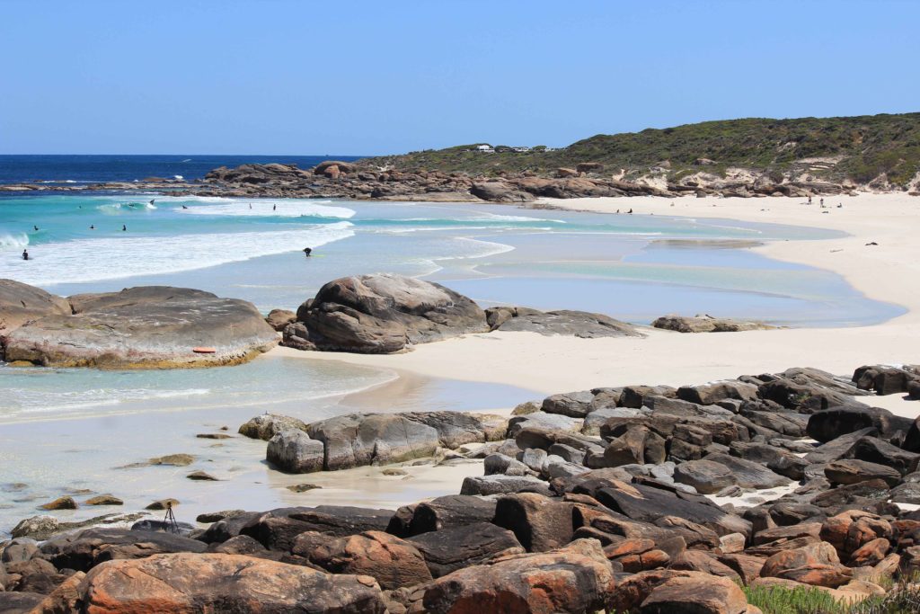
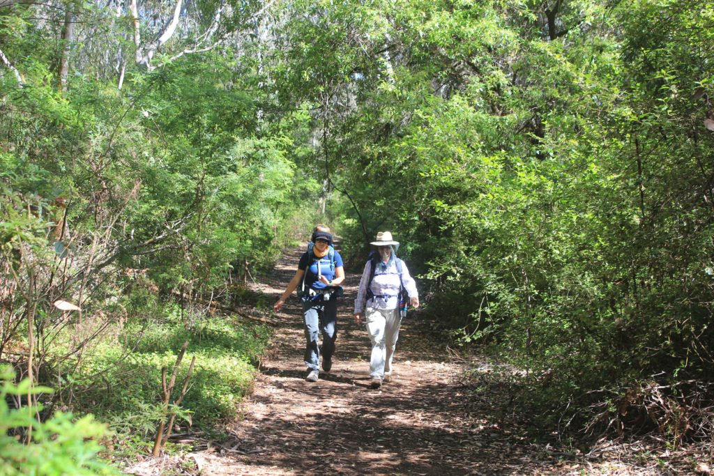
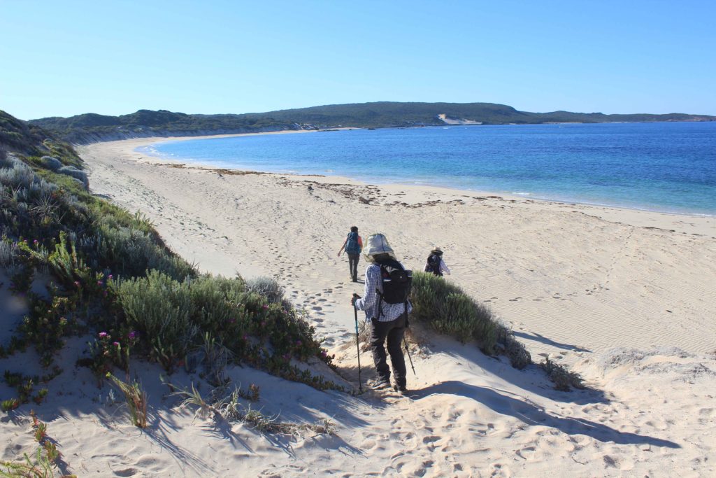
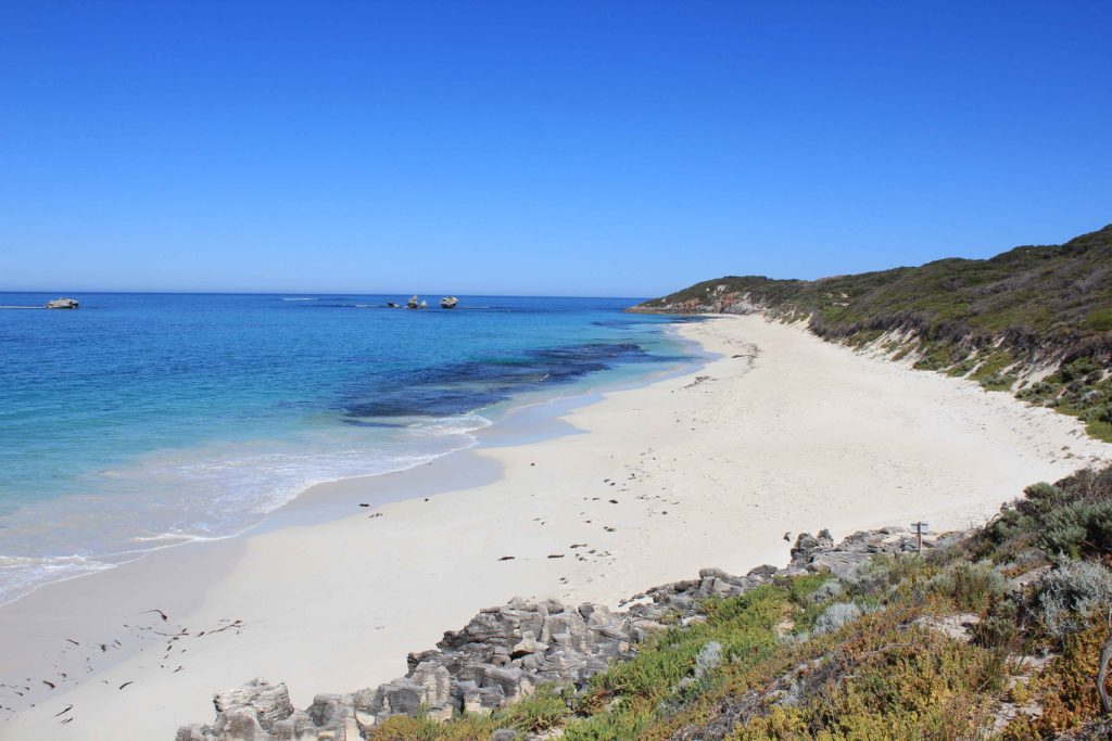
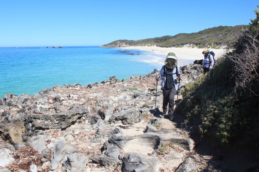
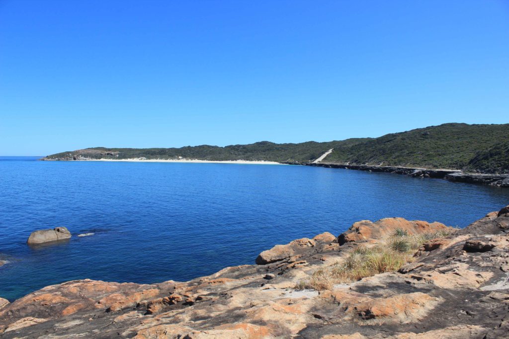
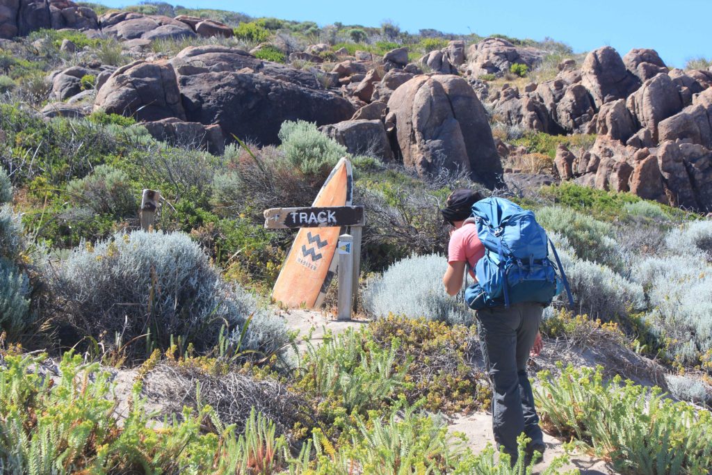
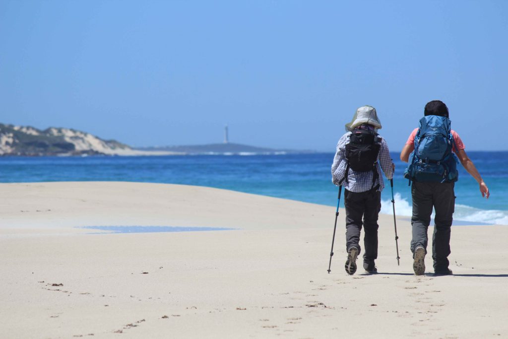
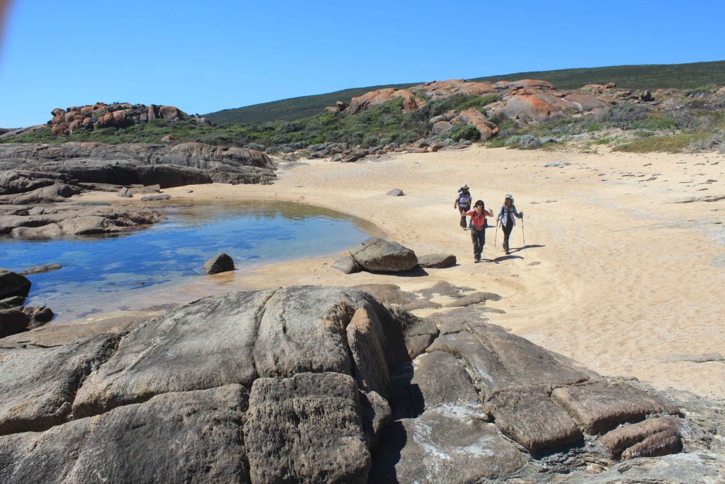
After registering our names in the hikers book at the beginning of the trek we started off in high spirits with Renae leading the way as she would end up doing for most of the trek, dragging us older ones along behind her. The track at the beginning is excellent and is paved all the way to Sugarloaf Rock. You start to see some pretty impressive views almost straight away and with the weather the way it was the flat blue ocean made them even more special. We walked until Three Bears surf break and stopped for our morning tea break. There were lots of surfers out enjoying the conditions and it was very nice sitting back at watching them. Also from here we started our first beach walk which was to be the first of quite a few and we also had some fun climbing sand dunes which we were going to encounter more of as the days went by.
Mt Duckworth campsite was a welcome rest stop for us. This is a nice shady area that is quite well set up for the walkers on the trek. The facilities were pretty bare but suitable for people doing the trek. There was also a resident magpie in the campground that didn’t appreciate our presence and was swooping us all the time we were there. We got to Yallingup around lunchtime and went up to our caravans for a break. Told you we were doing it tough on this trek By this stage we had done around 14 kilometres and I personally was ready to call it a day. Anyway after a short break and some food we headed off again.
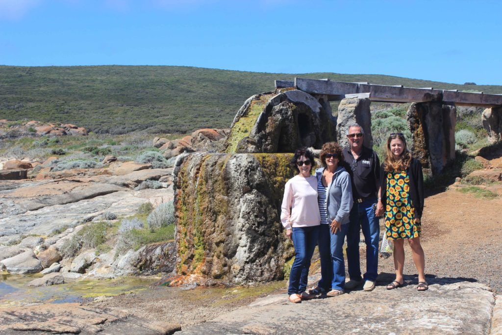
From Yallingup it was along Smiths Beach and then inland a bit to Canal Rocks. The afternoon had warmed up a bit and we were all starting to feel the heat. We met Rob at Wyadup (Injidup Natural Spa) for afternoon tea. From here we had a long trek along Injidup Beach that really sorted us out. The sand was quite soft on this beach and the going was pretty tough. We were all glad to finish this first day in the end. We started off with great enthusiasm and finished pretty tired. Only five more days of walking to go now though.
Day 1 Fun Facts;
Distance – 23.62 km
Calories used – 2052
Well we survived Day 1 pretty good and so Day 2 couldn’t come quick enough.
Day 2 and I am already over this alarm I thought these early get ups were something I stopped doing over four years ago when I retired. Anyway with renewed gusto we were dropped off by Rob at Injidup and were walking before 8am. Today’s walk was around 22km and looked similar to the previous days walk when looking at the map.
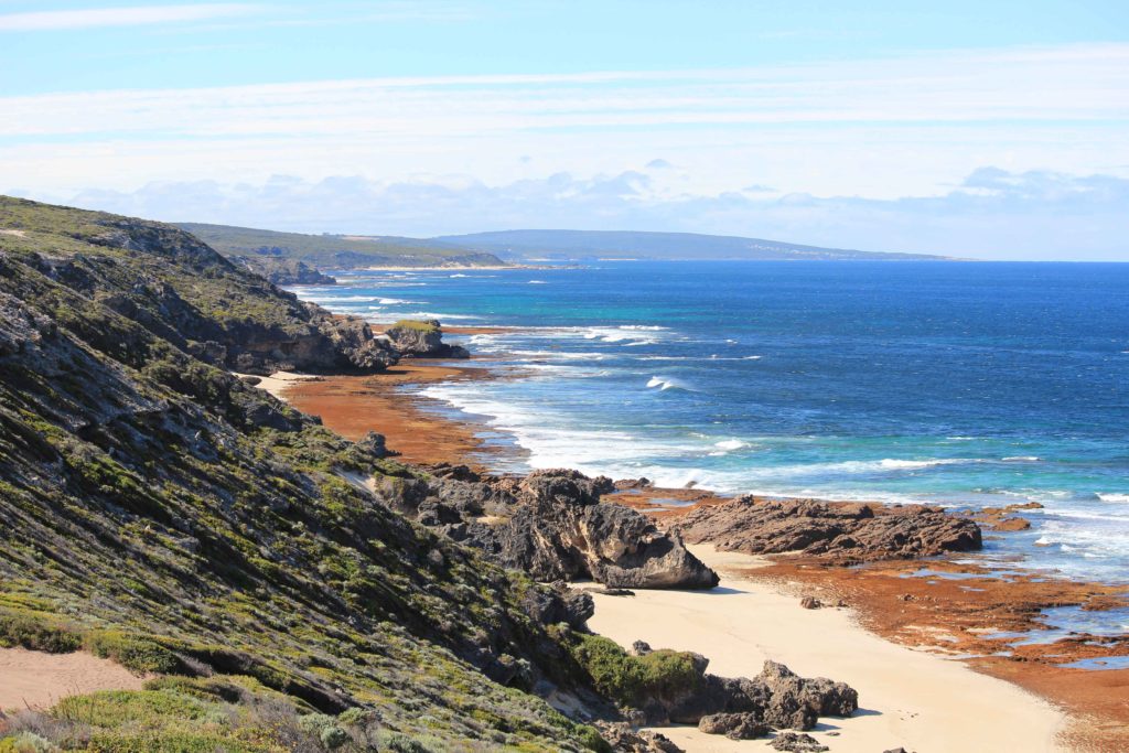
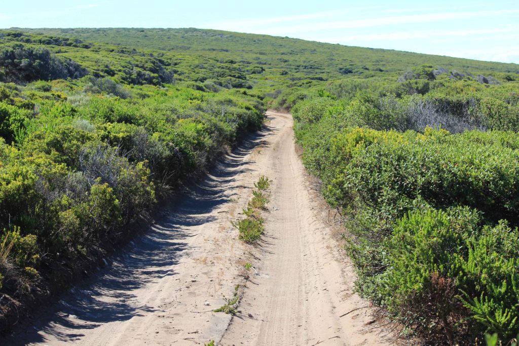
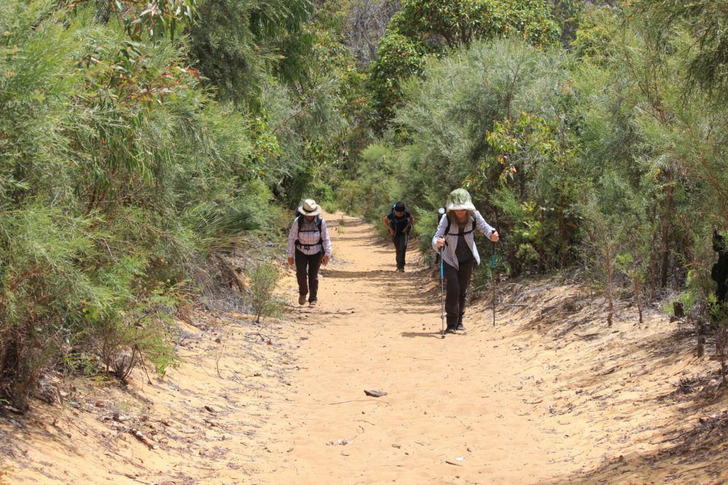
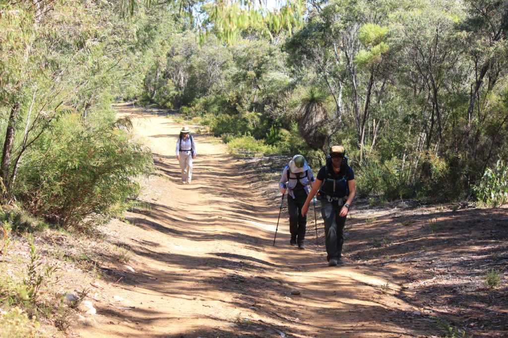
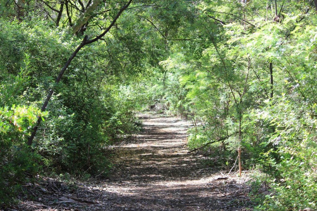
The walk started through some nice green bushland that was quite high up off the beach. This lasted for a little while then changed to some 4wd tracks. Over the next five days the trek was going to take us along quite a few of these types of tracks which are a bit boring to walk along. Being quite sandy along these tracks we were also getting a lot of reflective heat coming off the sand which made the temperature seem even hotter. The breeze was almost non existent today as well which didn’t help.
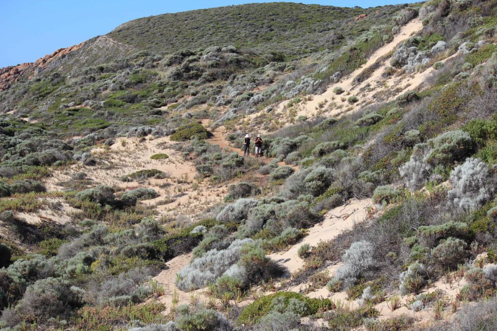
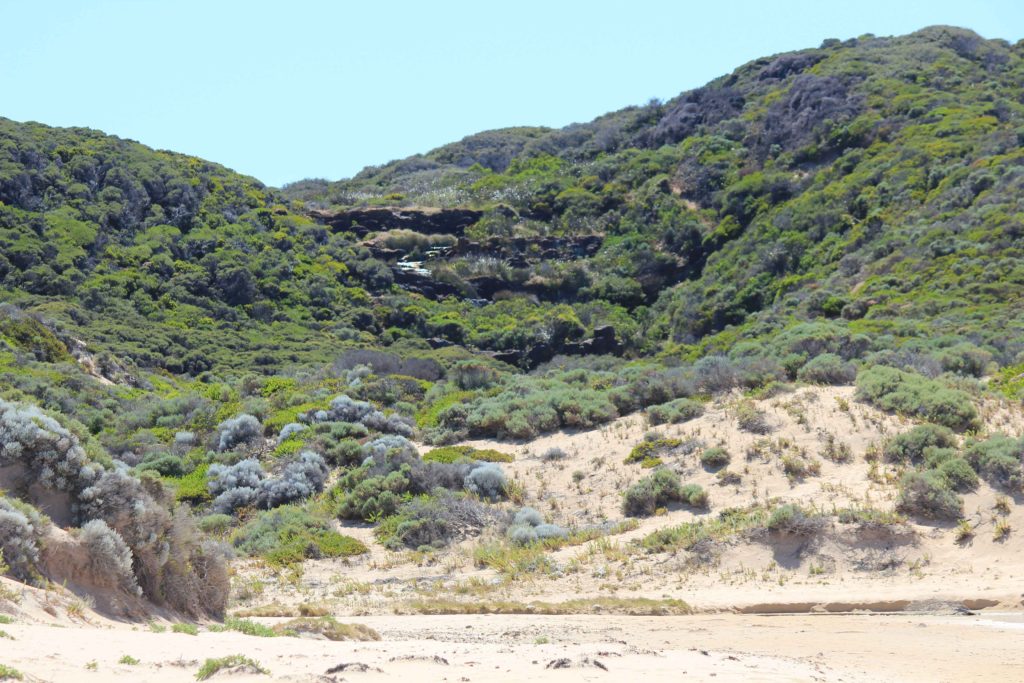
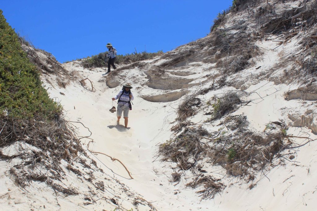
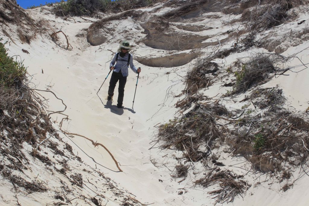
We stopped at Quininup Beach for a very welcome break and morning tea. Near this beach are the Quininup Falls that had a slight trickle of water going over them and into the creek that flowed into the ocean. Just after you walk past the creek you are greeted with a nice large sand dune that is quite steep. As the sand was warming up, climbing this sand dune was not fun at all. From here you walk to Moses North and then Moses South. It was at Moses South that we met Rob for lunch. Having Rob run around for us was so handy as we didn’t have to carry everything on the days we could catch up. It makes a big difference when you don’t have to carry all your daily supplies.
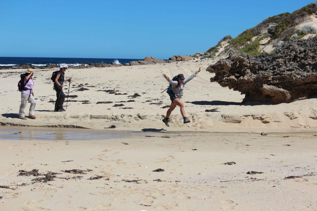
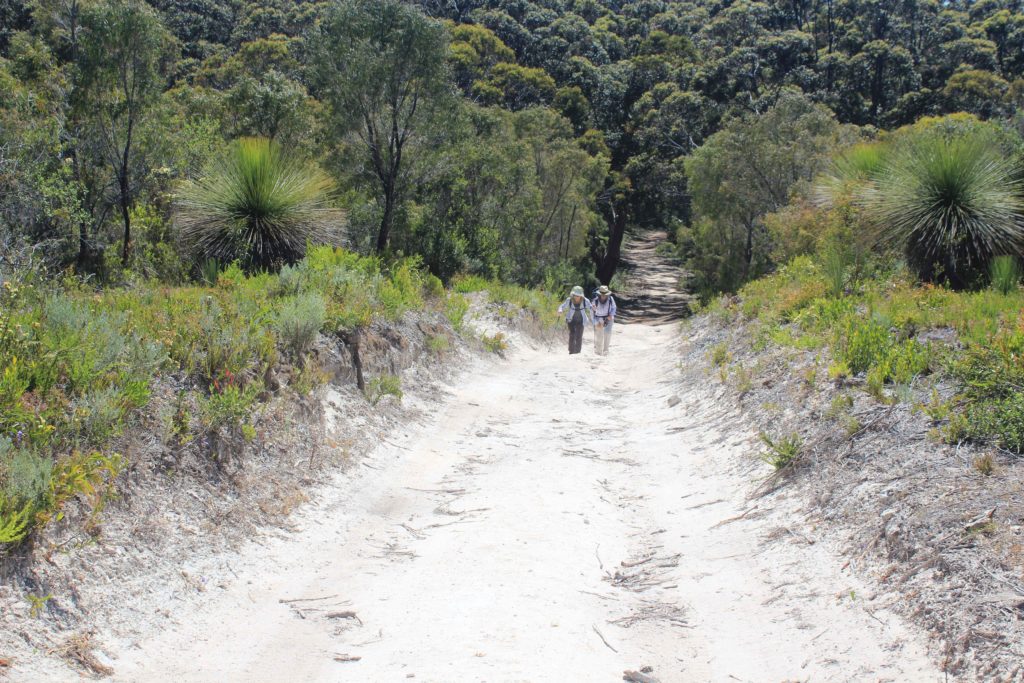
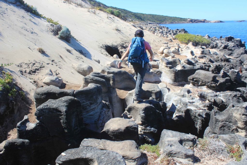
After lunch we walked along Willyabrup Beach for a short distance where we crossed a small creek and then it was up another very steep sand dune. Willyabrup Beach had quite soft sand to walk on and having a steep sand dune at the end to climb was not what we needed. It felt like you climbed three steps up and slid in the sand two steps back going up this dune. Hopefully there were less of these in the next few day ahead. Once on top of the sand dune the terrain changed quite suddenly to an area that would be quite boggy in wet weather. Here they have erected a short boardwalk section to walk on. Made a nice easy change after all the sand.
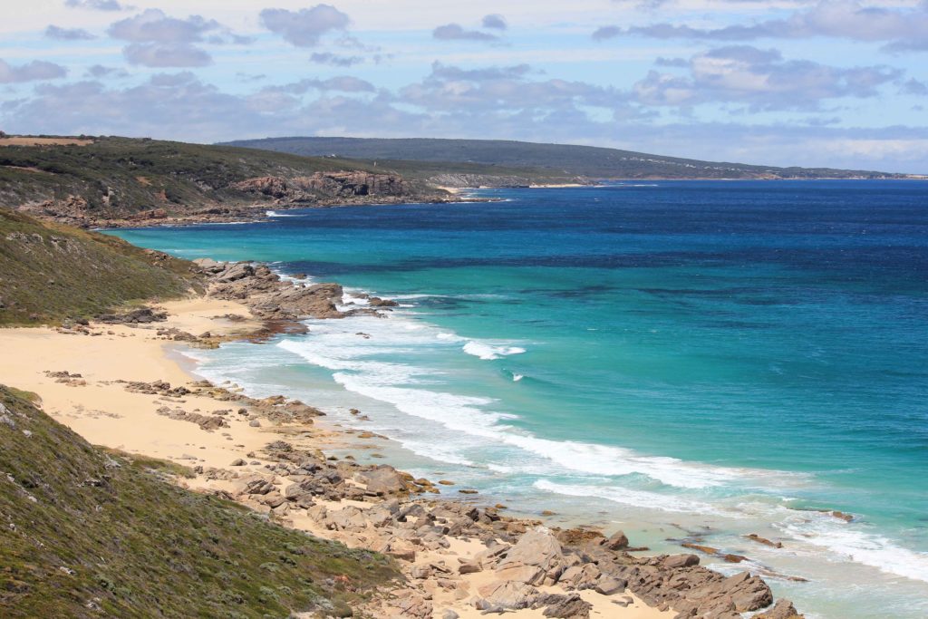
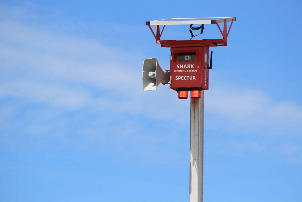
After crossing Biljedup Creek you are met with a fairly steep aluminium stair case that takes you to the top of the Willyabrup Cliffs that gives you some great views of the coast. From here we continued onto Cullens Beach and then past a couple of surfing spots called Gallows and Guillotine. It was at these surf spot we saw our first remote red shark alarms system. These have been installed at points along the coast. One of the alarms was flashing and issuing a beach closed warning. Though to hear the alarm and warning you had to be standing very close to the system itself so not to sure on how effective they really are. The rest of the walk from here was through some short scrub bushland and then it was rocky for the last few kilometres into Gracetown
Well it was now two walk days down and only four to go. Tomorrow was a relocation day for us and also a chance to have a little lie in. So looking forward to that.
Day 2 Fun Facts
Distance – 22 km
Calories – 1778
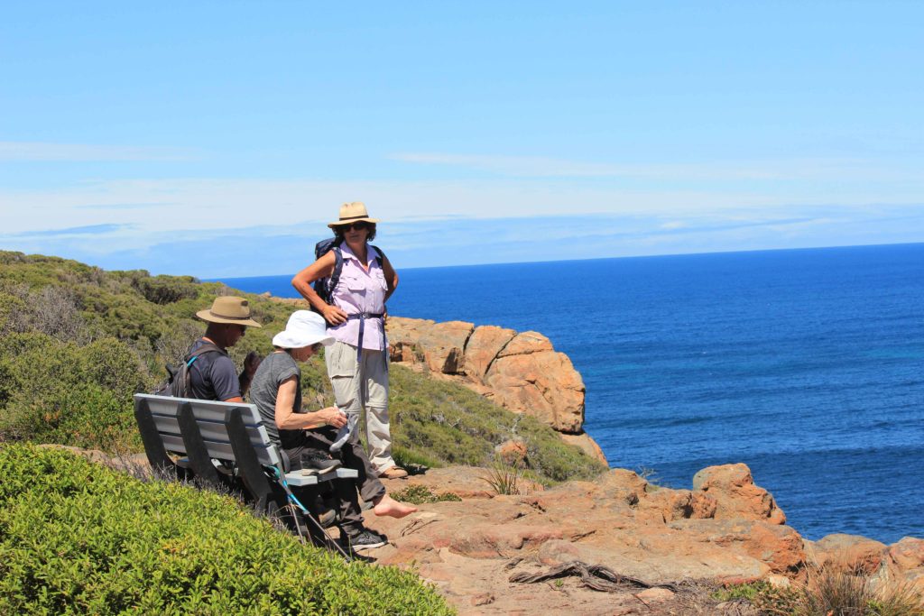
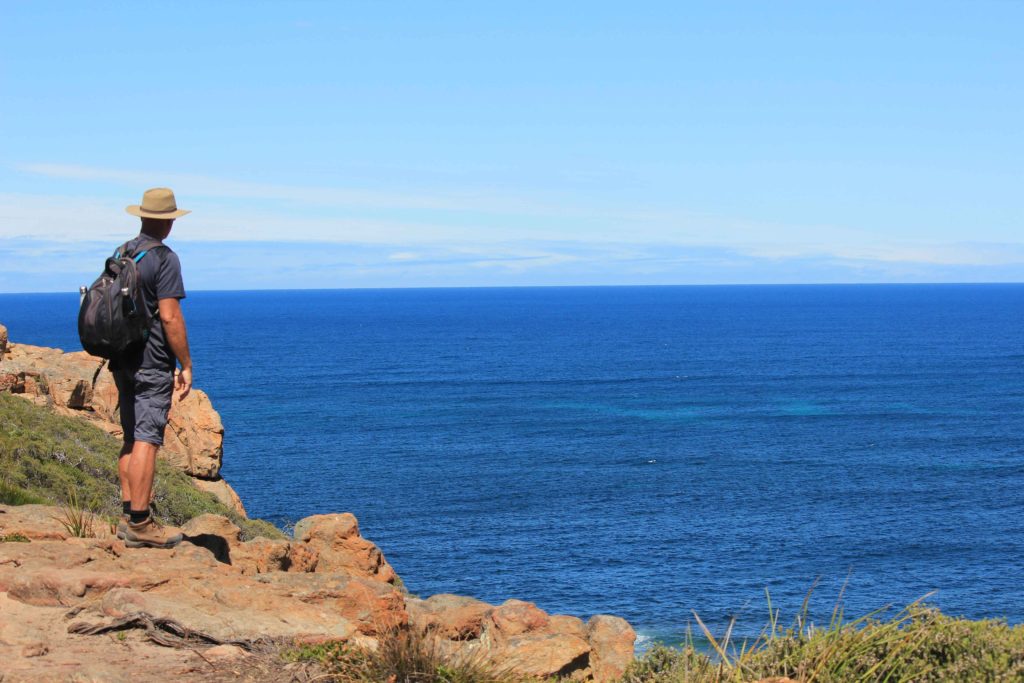
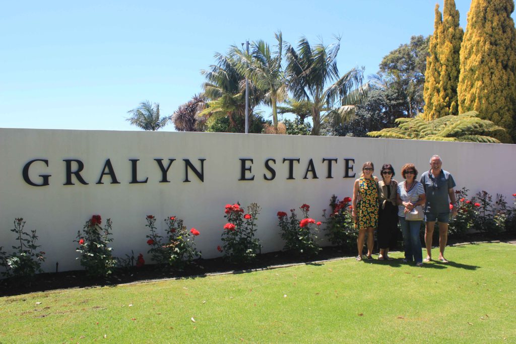
With two days completed it was our relocation day tomorrow and a chance for a lie in. As we couldn’t get into our next caravan park till after 2 pm we took the chance to do a bit of visiting on our way further south. Our first stop was at Graylin Estate for a bit of wine tasting. Being the responsible drivers we are both Rob and myself didn’t partake in any tastings. For the girls though that was another matter. There wasn’t anything they didn’t sample. It was a very nice winery and I can thoroughly recommend their wines. They are a bit pricey but very nice.
Our next stop was at Margaret River Venison for a few samples. They have a wide choice of everything and the tastings are very enjoyable. We all bought a few cuts of different venison and were looking forward to sampling these at a later date. From here it was a very short drive to Prevelly Caravan Park and set up for the next three nights.
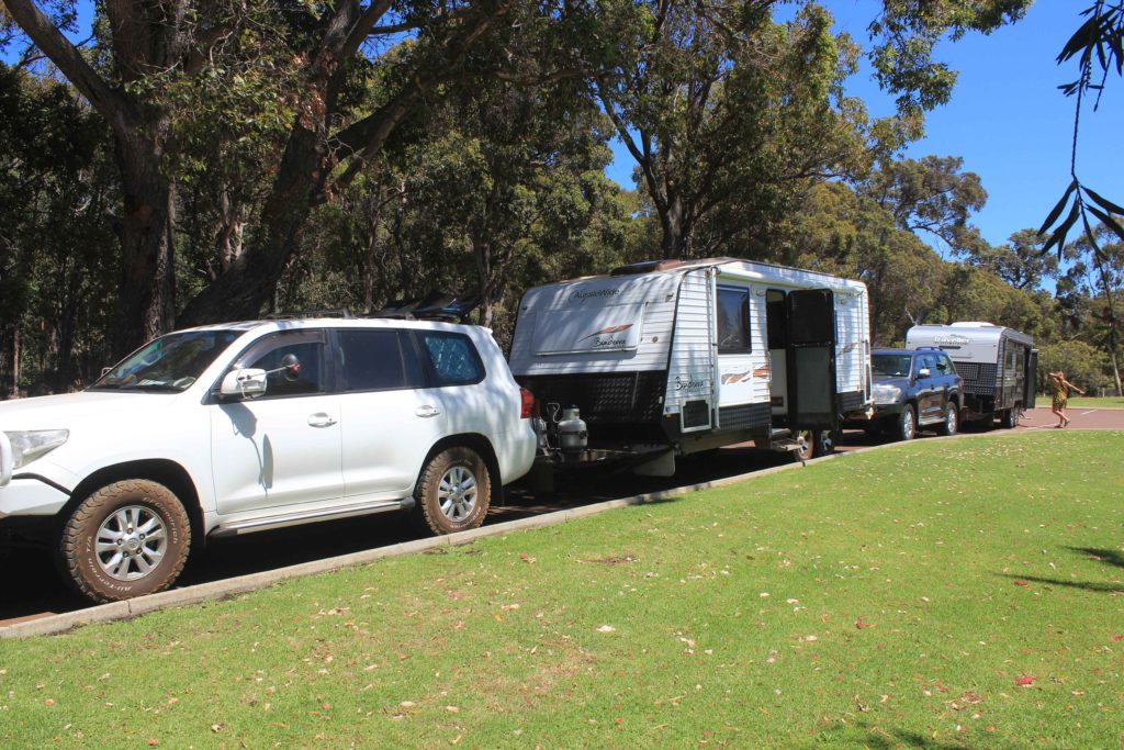
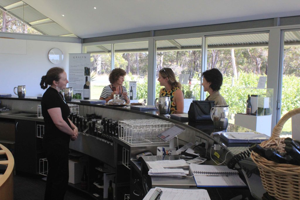
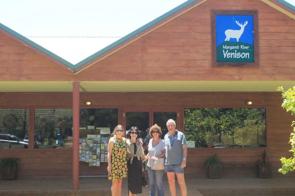
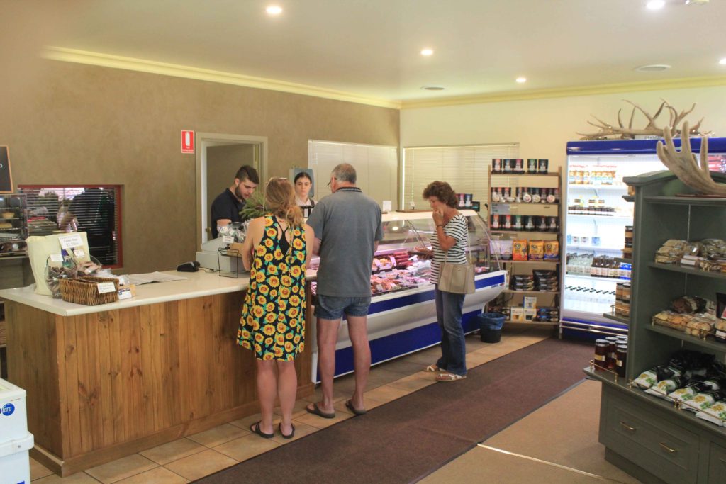
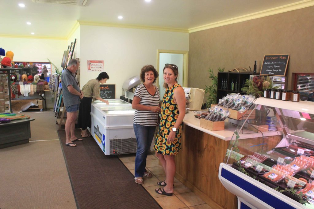
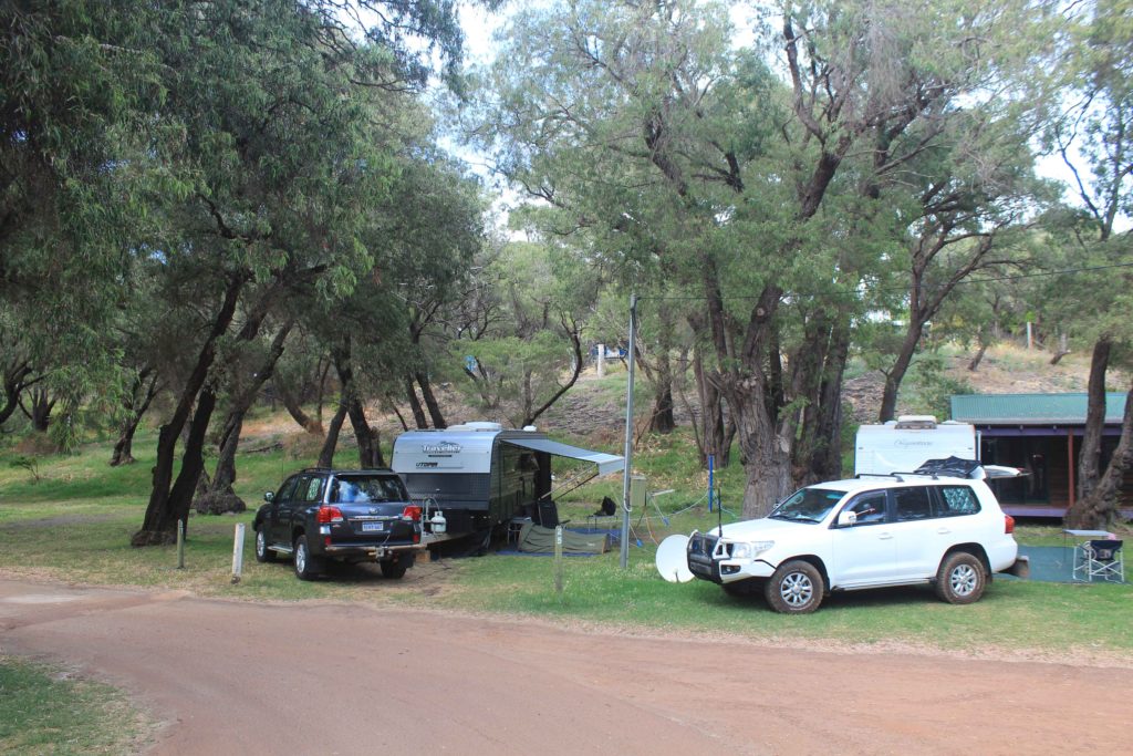
Well Day 3 was looming and our halfway point of the walk. I know us older walkers enjoyed the travel/relocation/rest day we’re pretty sure Renae did as well.
Day 3 started the same as the other designated walk days with that dam alarm clock going off way to early. Rob dropped us off back at the boat ramp at Gracetown and we started our trek south again. It was good to know that today we would be at the halfway mark of our walk. Not far from the start is the memorial for the victims of the cliff collapse at Gracetown that happened 1996. While watching a junior surf carnival a portion of a cliff face fell down onto people sheltering under it and crushing them. A tragic event in WA’s history.
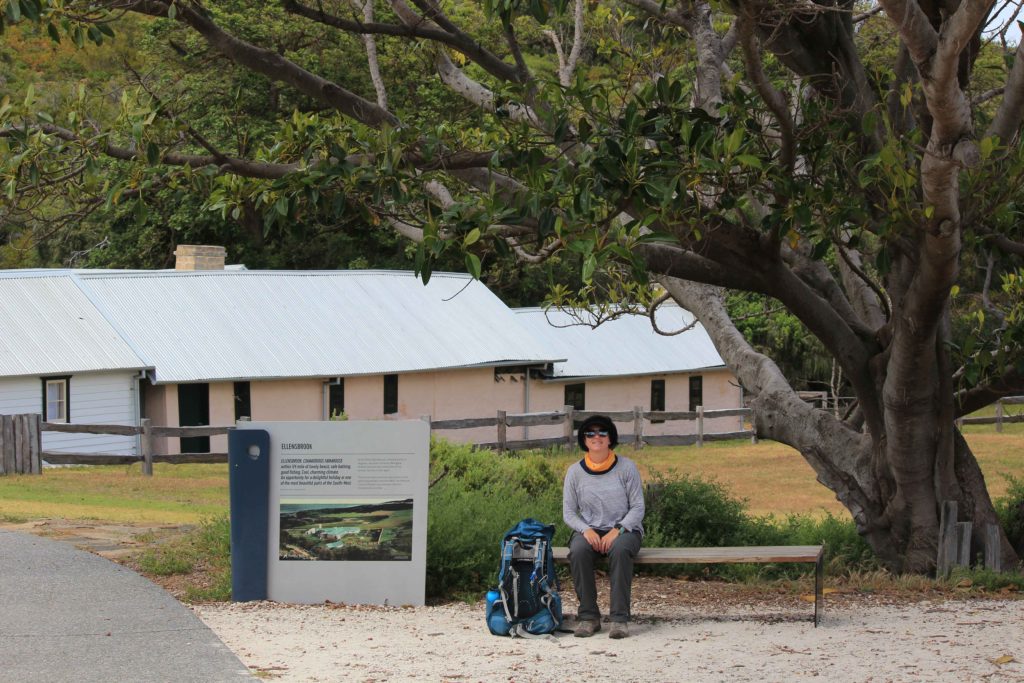
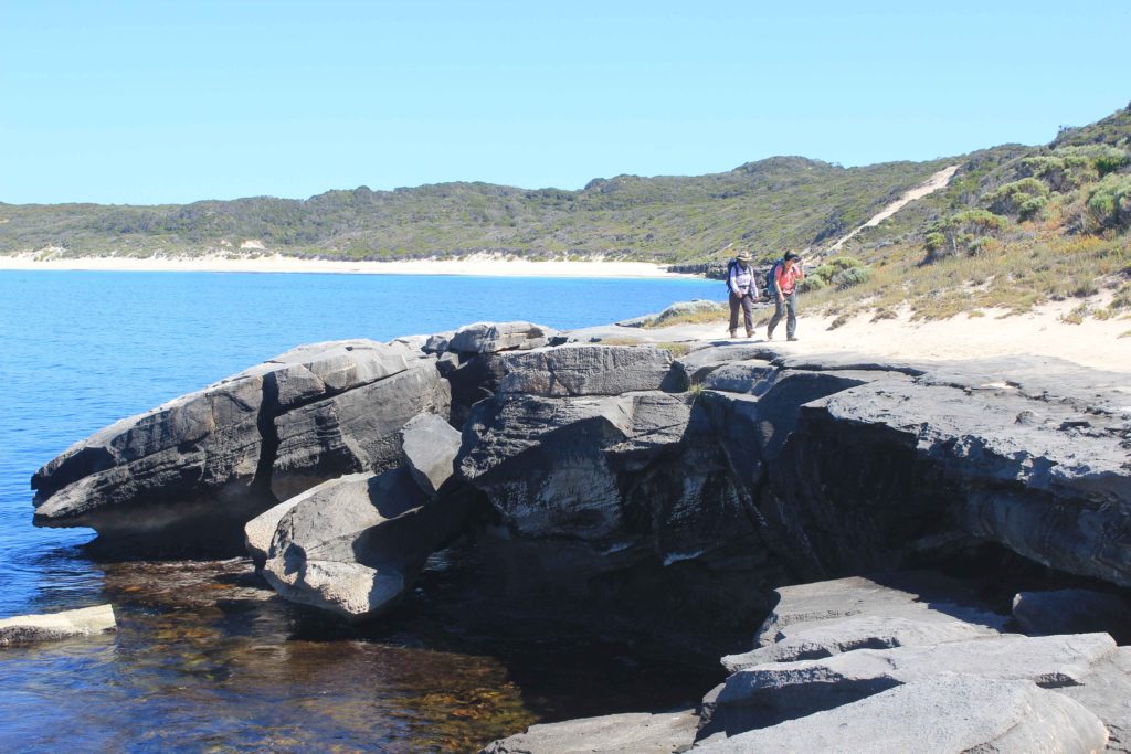
A bit further south is Left Handers surf break and we also saw a few more of the remote shark alarms along the coast. We had arranged to meet Rob at Ellensbrook Homestead for morning tea. This was a welcome break for us as the walk so far this morning had been a bit boring and monotonous as well as hot. There was a nice big old Moreton Bay Fig that we sat under and it was good to cool down for a while in the shade. A short walk from the homestead are the Meekadorabee Falls. These weren’t flowing which was a pity as some cool water would have been nice to have. Our trek continued on through some small shrubland and then past some limestone formations at the north end of Kilcarnup Beach. We were very happy that we finally had a nice firm beach to walk along. Made big difference to the other soft sand ones we had walked previously. We also saw a couple of stingrays close to the shore line while walking along the beach.
We left Kilcarnup beach at Cape Mentelle and continued on until we crossed the sand bar at the Margaret River mouth. If you did this walk in wet weather you may have to take the alternative route if you couldn’t cross the river. We originally were going to stop our Day 3 walk here but decided to do an extra few kilometres to the water tank behind Prevelly. At the time we didn’t want to do it but were so glad we did for the next day.
Well Day 3 finished and we were halfway, a good feeling. We were also starting to feel a bit better with our walking and were finishing our walking earlier each day. The weather was still warm each day and the refreshments each night were also enjoyable.
Day 3 Fun Facts
Distance – 23 km
Calories – 1692
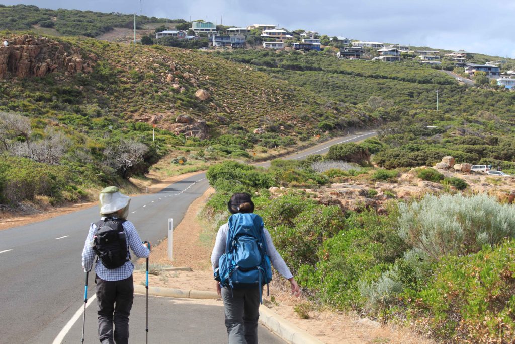
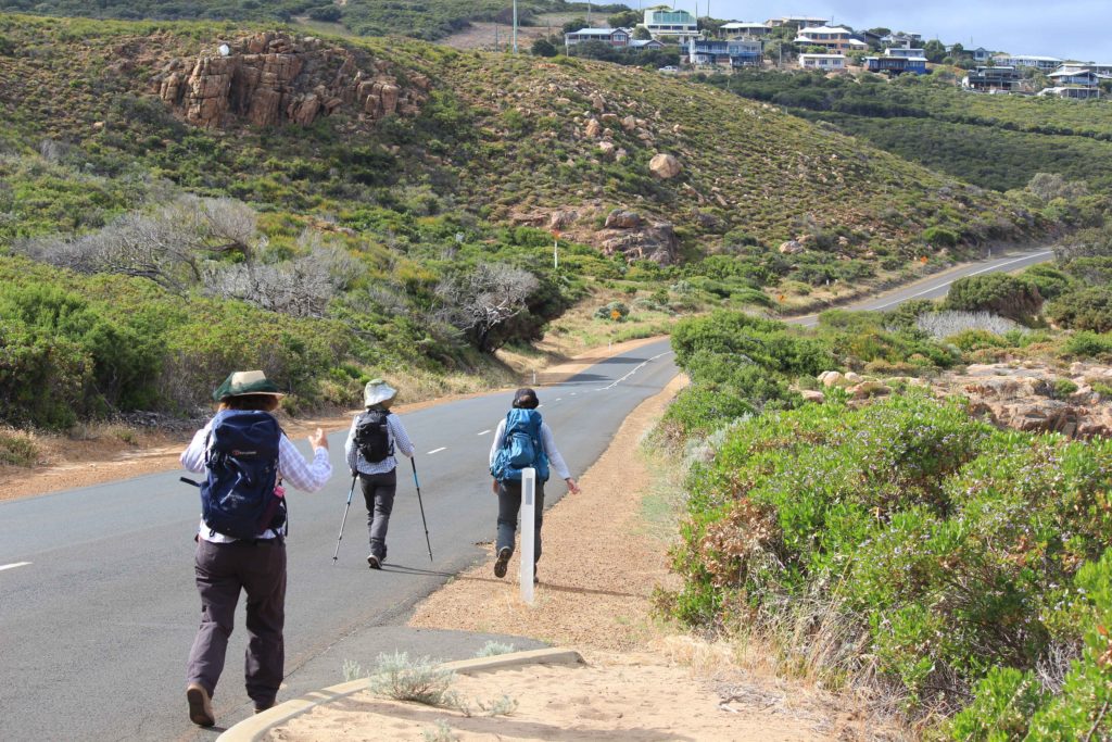
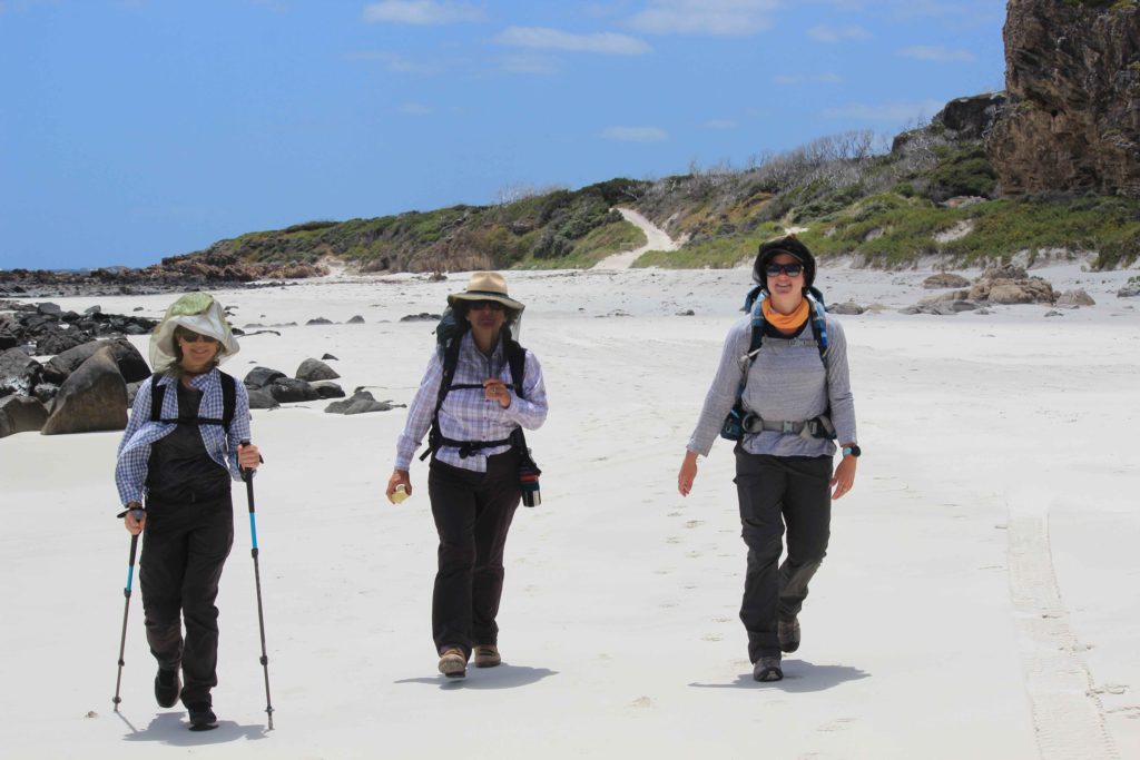
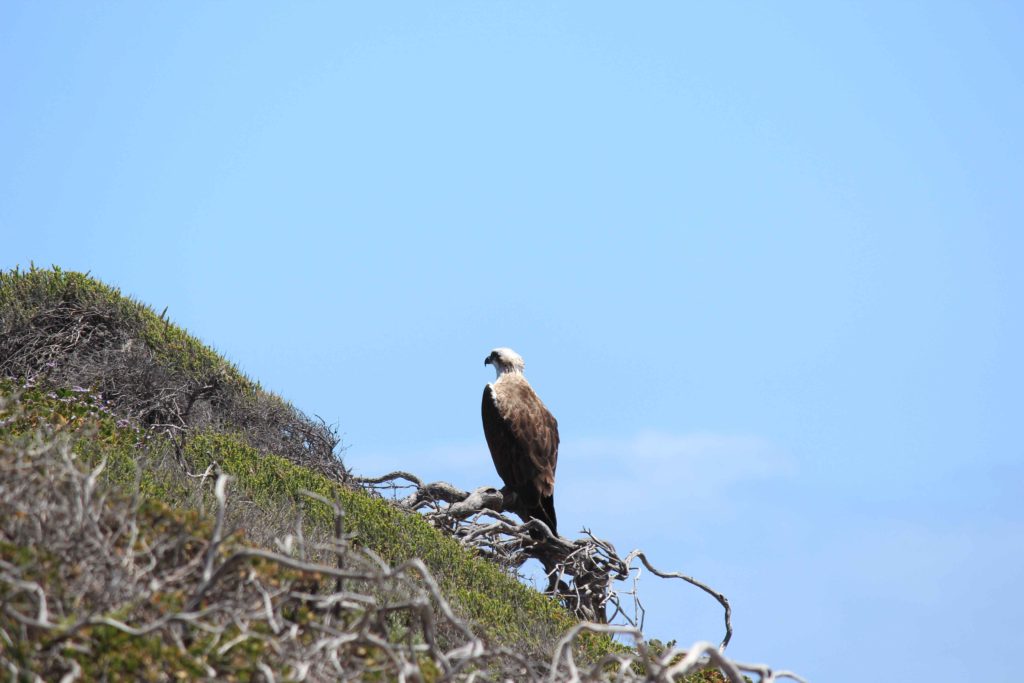
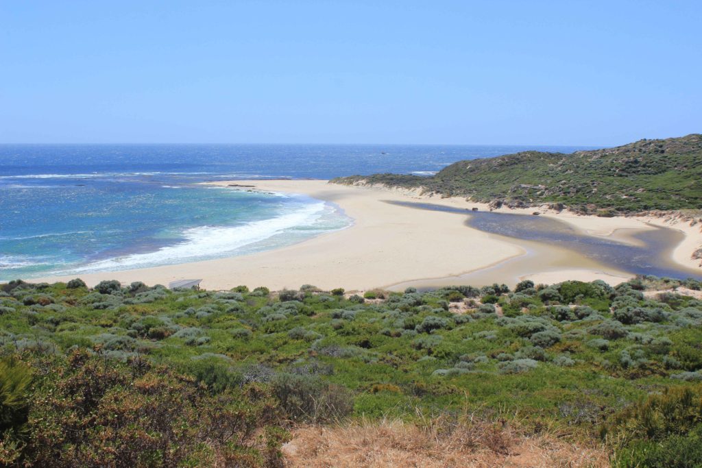
Day 4 and I was resigned to the fact that I needed the alarm clock to force me to get out of bed. We all were quite happy today as we had done a few extra kilometres yesterday and this made today’s trek that little bit shorter. It was only going to be about a 14 km walk.
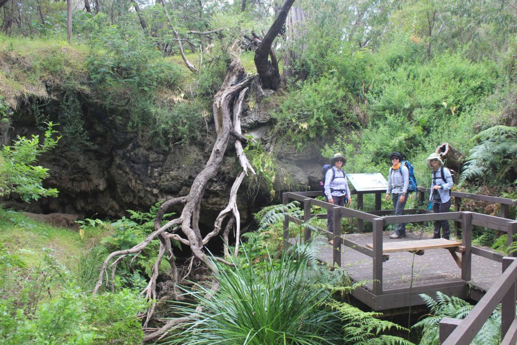
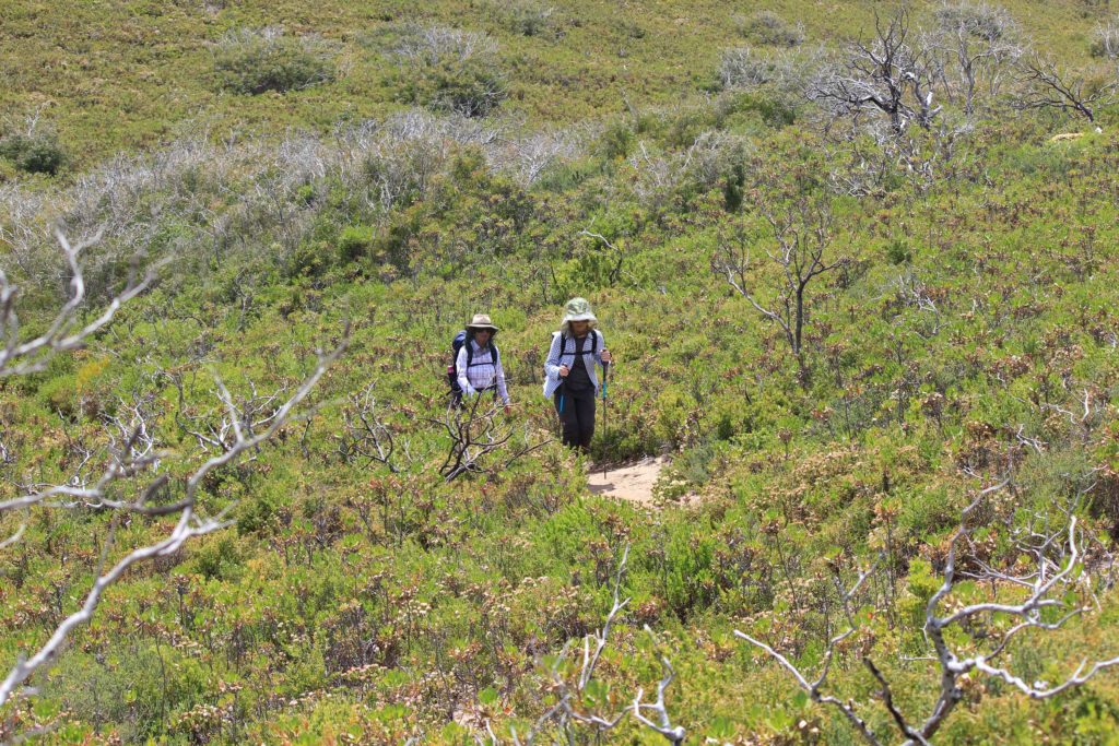
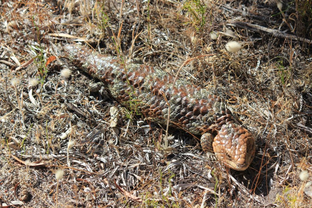
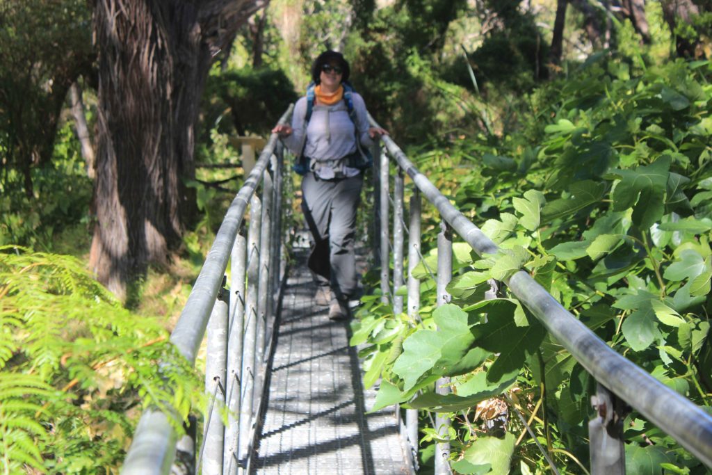
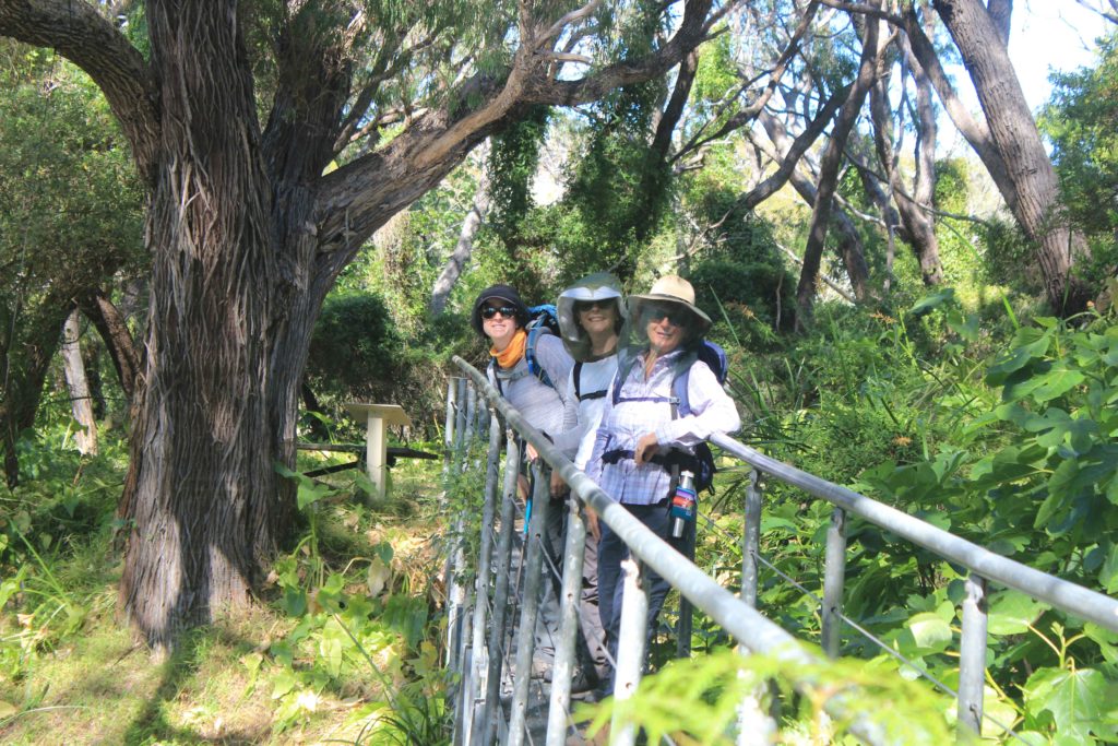
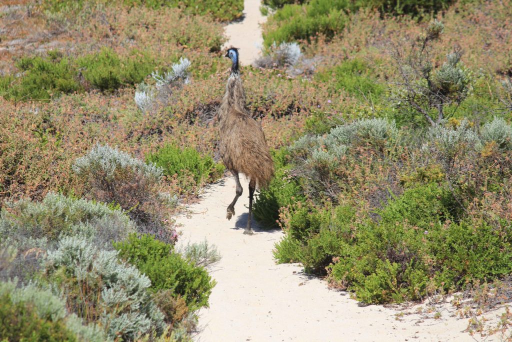
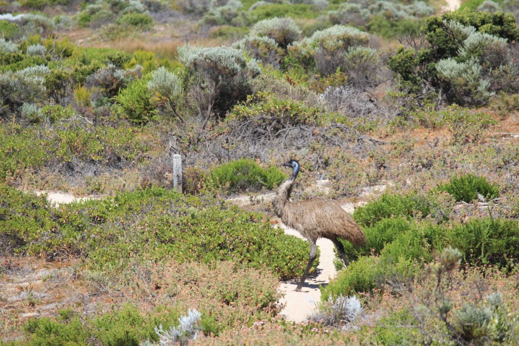
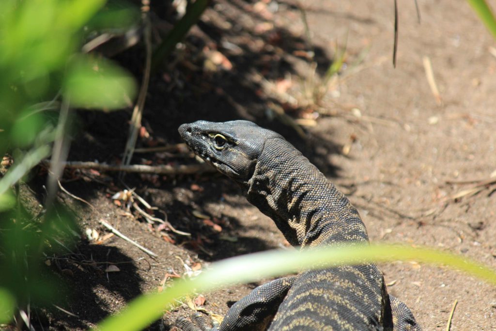
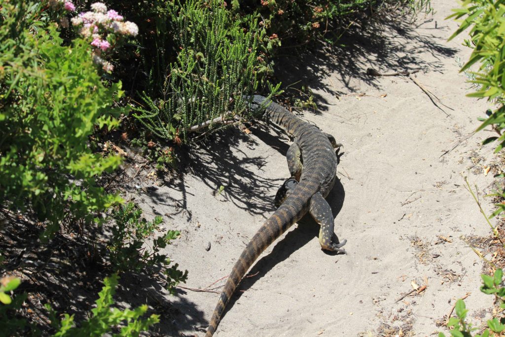
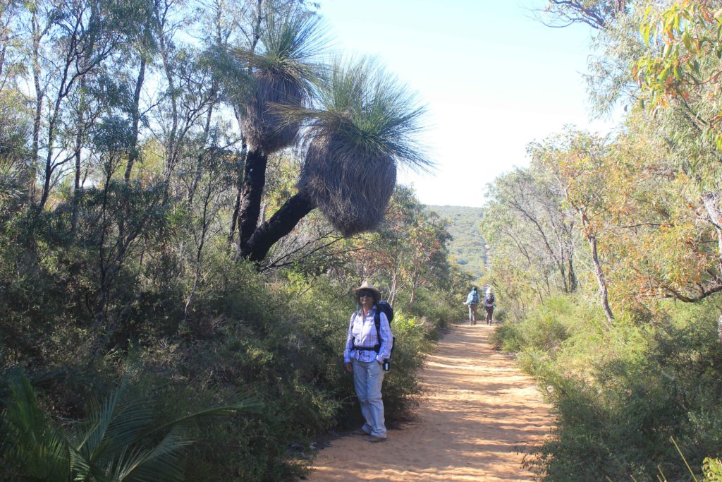
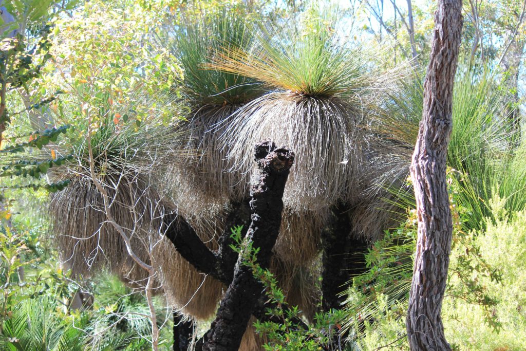
The track at the start of Day 4 took us inland a bit and past some very tall grass trees. Some of these trees were around 4 metres in height. We weren’t sure if we had seen grass trees this tall before, and there were lots of them. We also came across a very fat looking bob tail lizard that wasn’t interested in moving off the track and made us all walk over and around him. The track took us along Boodijup Ridge that gave you some great views. It was then a steep descent down into Boodijup Creek. This area was very green and had a real garden like feeling about it. You also cross a short bridge here and then start heading back towards the coast. On this section of the walk we disturbed an emu and he was running all around the place trying to get away from us. It kept on sticking to the walking track and was clearly getting flustered as we kept on walking along the track as well.
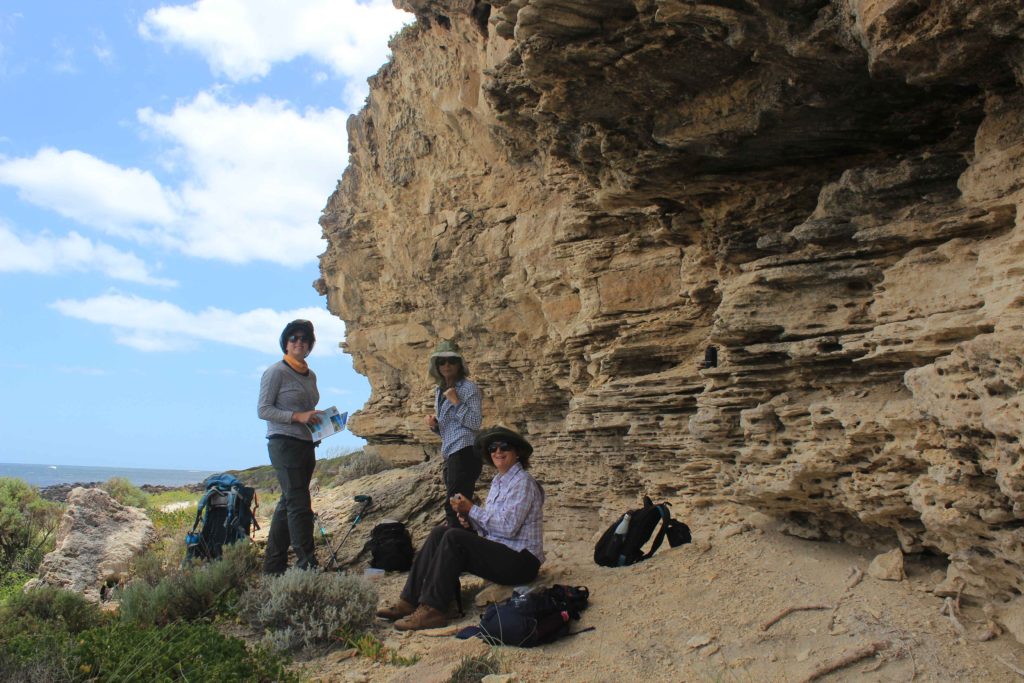
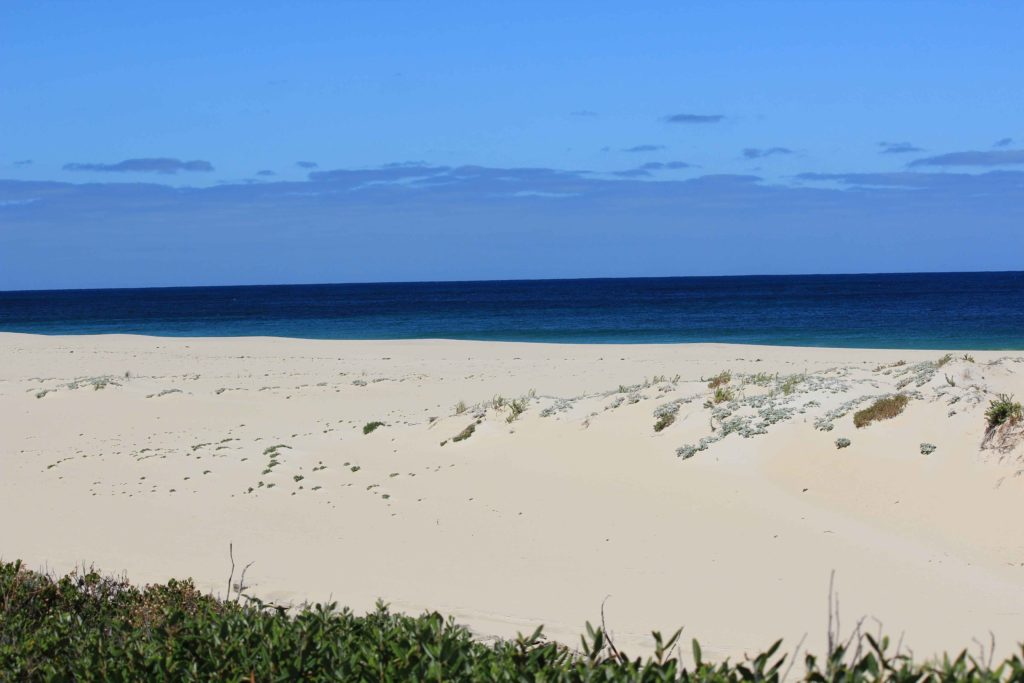
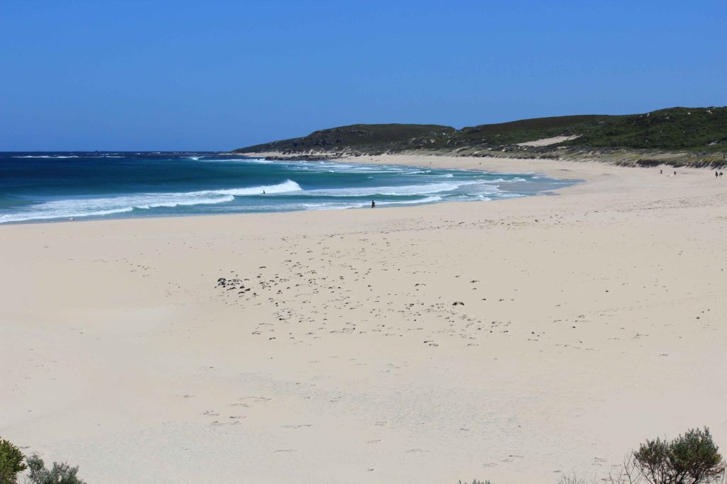
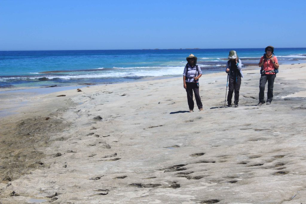
When we got back to the coast we had a very long beach walk on soft sand with a sloping beach. Not a lot of fun at all. Renae found some “beach treasure” along this beach, a diving mask and a huge abalone shell. The beach walk finished at Redgate car park which is where we met Rob for morning tea. A welcome break after the beach walk. From the carpark we headed off along Redgate Beach then went along some more 4wd tracks. These tracks this time did offer some views of the coastline which was nice for a change. It was then up some cliffs near Bob Holland’s Grotto where we saw some rock climbers doing there stuff. It was quite an easy walk along the cliffs and onto Conto’s Beach. This was the end of the walk for Day 4. We finished around 1 pm today and met Rob at Conto’s for a picnic lunch. Great way to finish the day. We would have liked to have gone a bit further if we could but there was nowhere we could find to meet Rob with the vehicle that didn’t require some serious four wheel driving..
Day 4 Fun Facts
Distance – 14.1 km
Calories – 1142
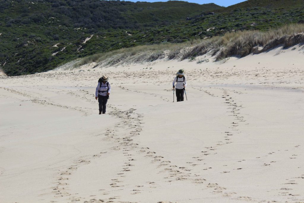
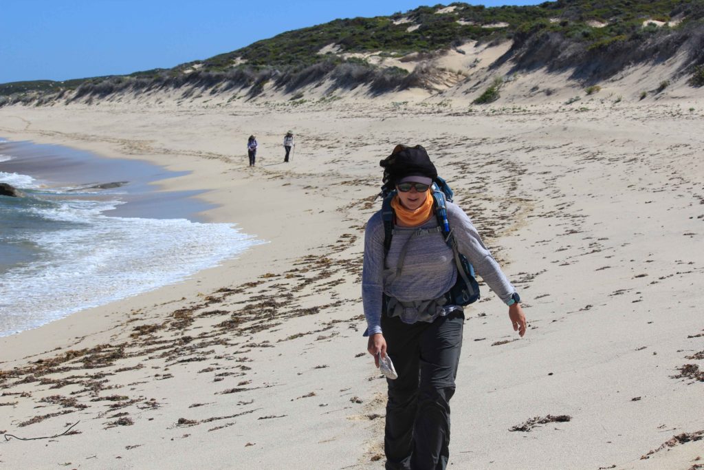
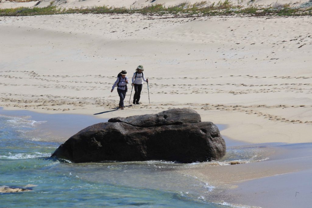
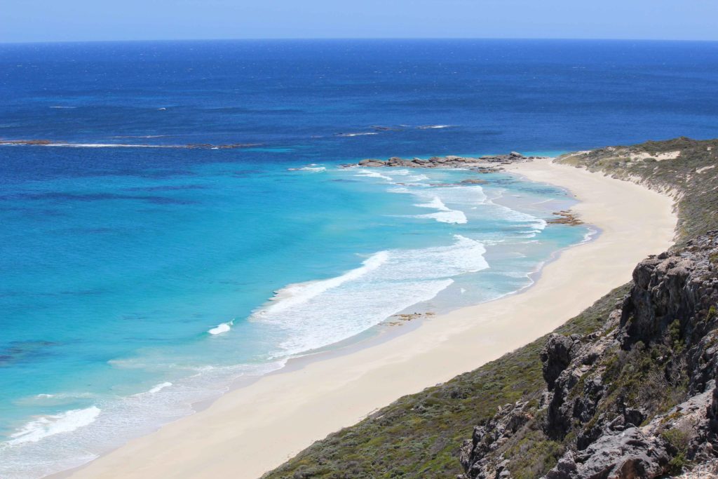
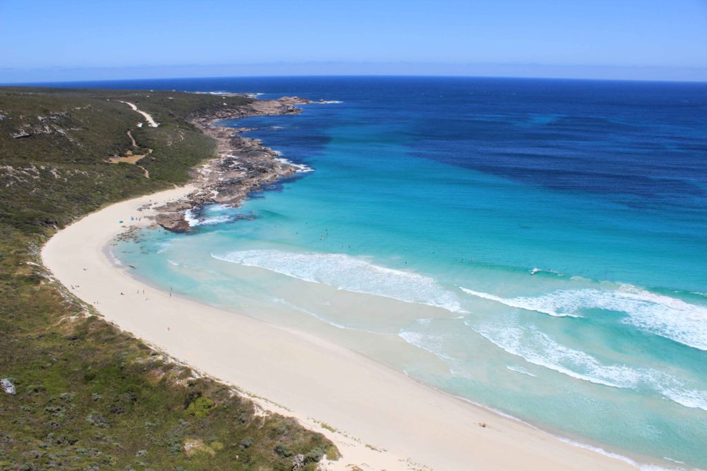
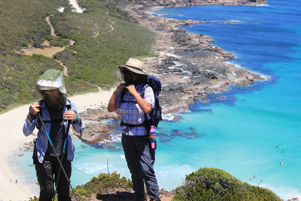
With Day 4 over tomorrow was another relocation day. This time it was down to Augusta and the Munday Campground just a few kilometres out of town. This is a relatively new campground that only has 10 sites and is at the back of a property. It is very well set out and we will definitely have this place back on our radar again. We didn’t have to wait till the afternoon to book in either which was nice. It was only a short drive from Prevelly to Augusta so we were able to set up camp early and go for a drive around Augusta and out to Hamelin Bay. Lunch at the Augusta bakery was very nice as well.
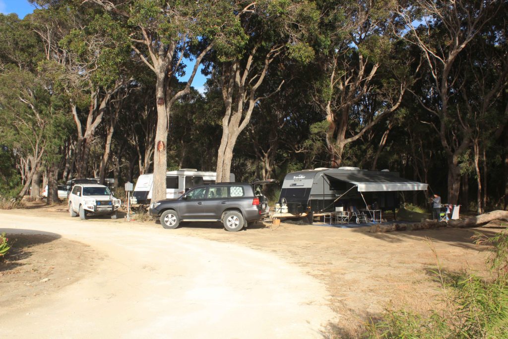
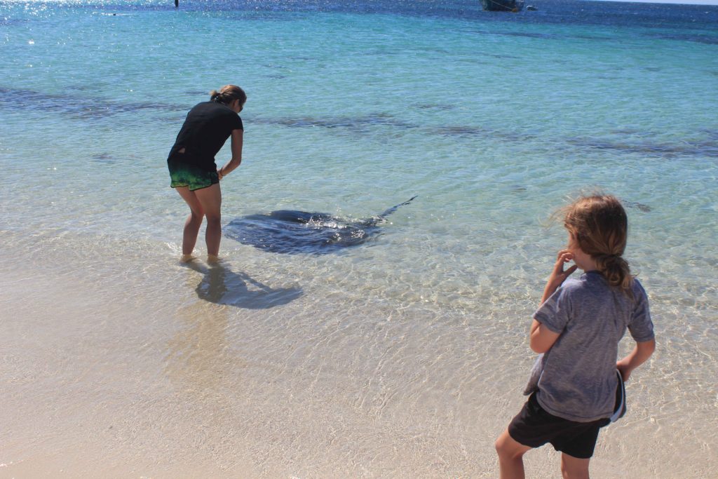
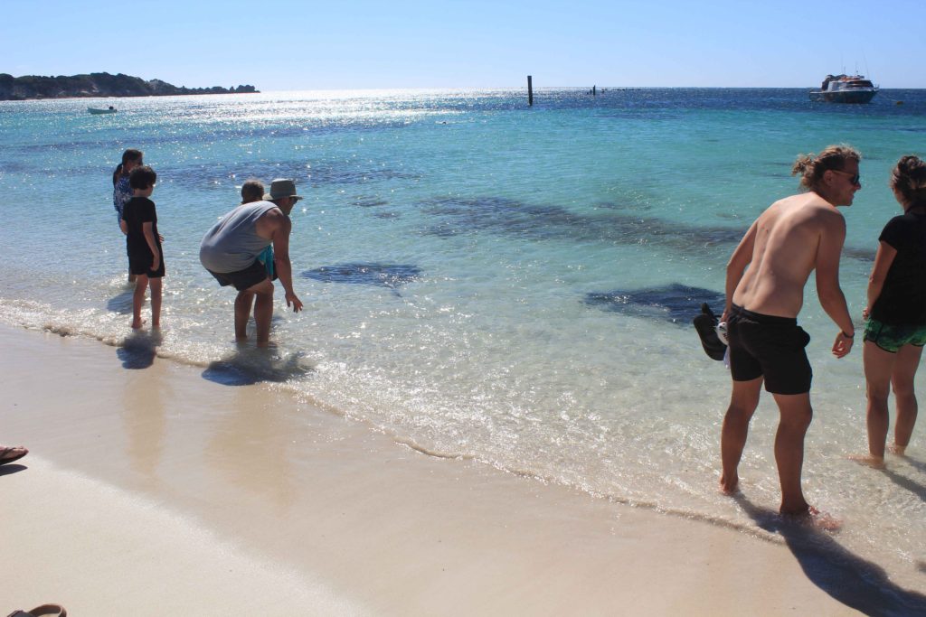
We were all starting to feel pretty good at this stage. With four days completed and some good times had in between we were very confident about the last two days.
With the weather getting a little bit warmer we made the decision to start the next couple of days 30 minutes earlier. As much as I hated getting out of bed earlier it was a good decision to do this. Day 5 was going to be just over 22 km’s
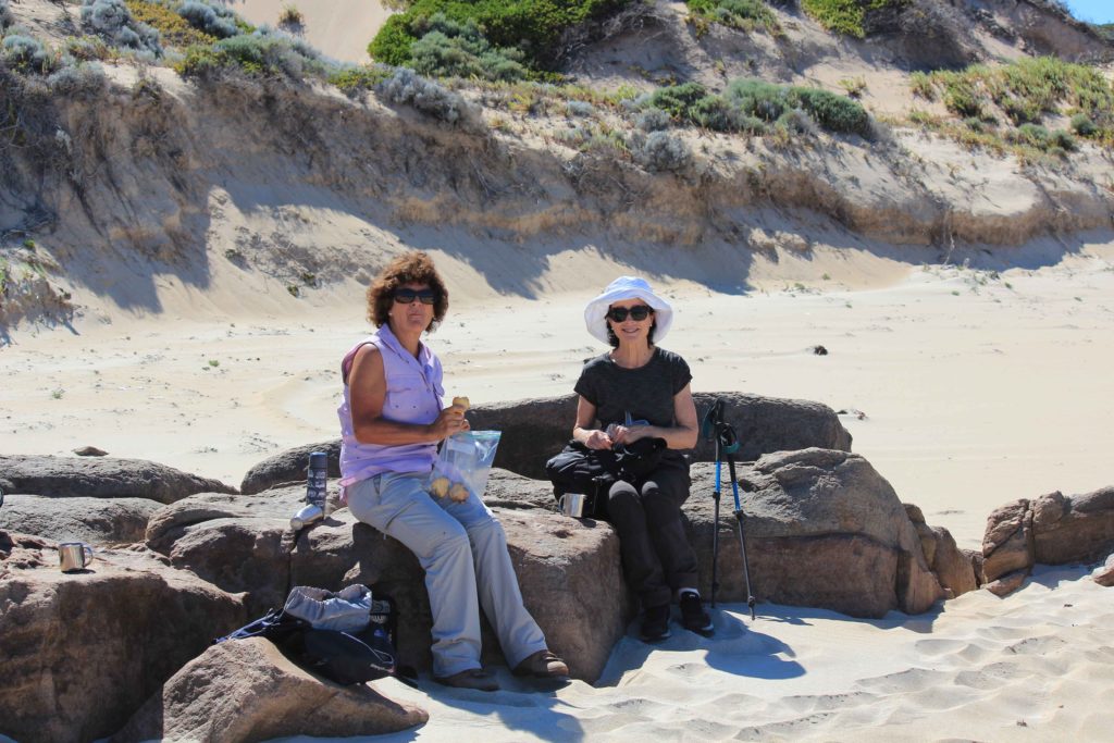
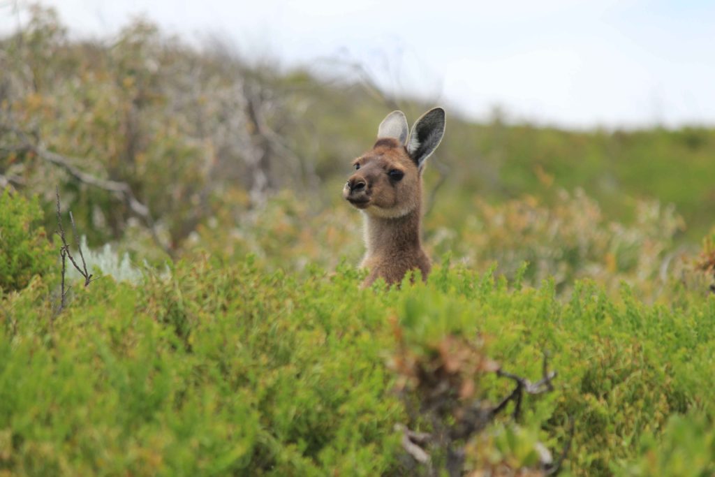
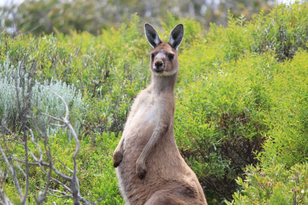
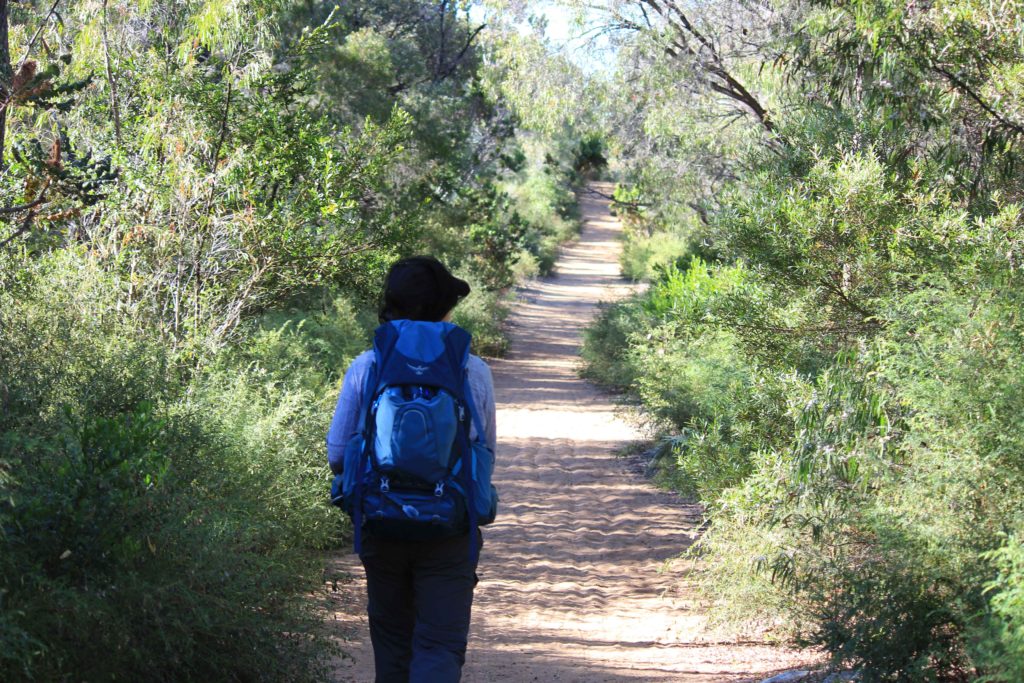
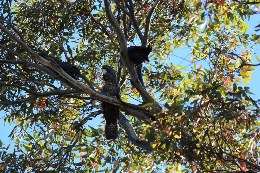
The start of the track from Conto’s led us inland a bit and past some very nice jarrah and karri trees. This part of the walk also provided us with some nice shade that we really enjoyed. We saw a lot of birdlife in this section as well as a couple of kangaroos that very quickly scampered out of the way. This section was also quite undulating and followed some 4wd tracks that did provide easy walking. We did a detour to the Boranup Lookout that was not worth the extra effort. The trees around the lookout have all grown quite tall which is a good thing but they have blocked most of the view. The day by this stage was starting to get quite warm and the open 4wd tracks weren’t providing much respite from the sun and they weren’t that scenic either. The descent down to Boranup Beach was nice and it was just a bit further along from the descent where we sat on a sand dune and had our lunch overlooking the beach.
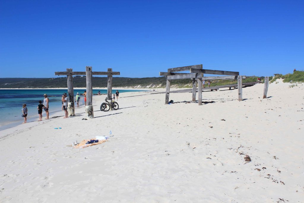
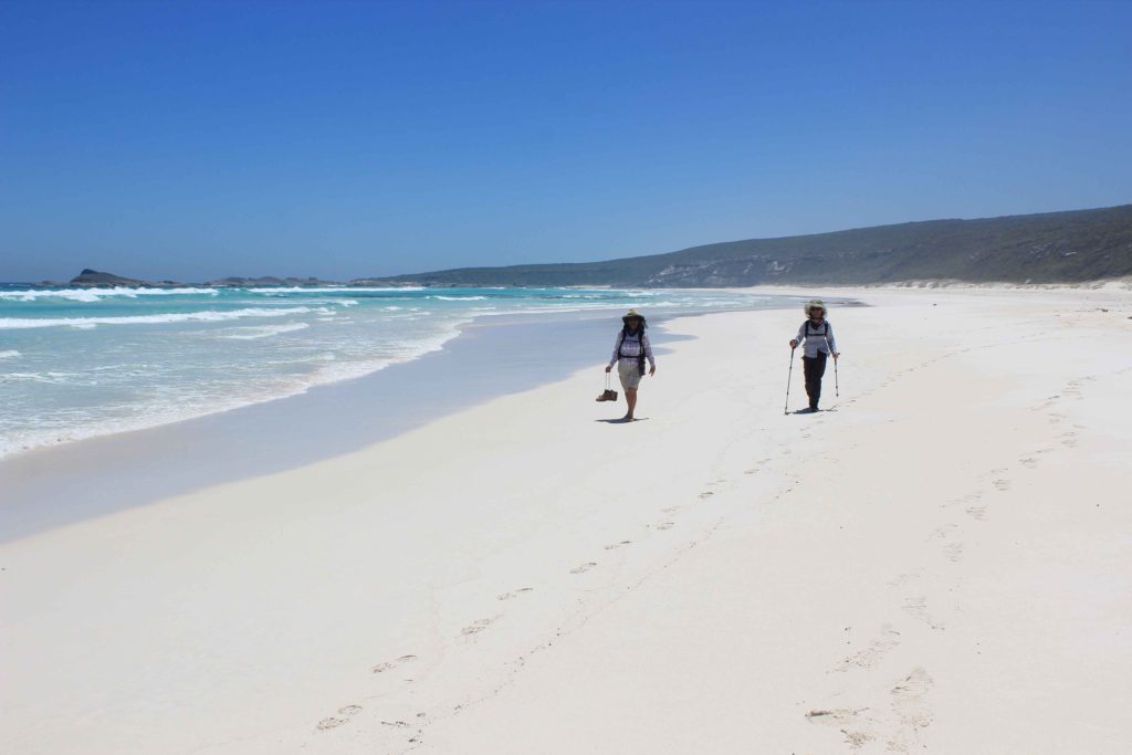
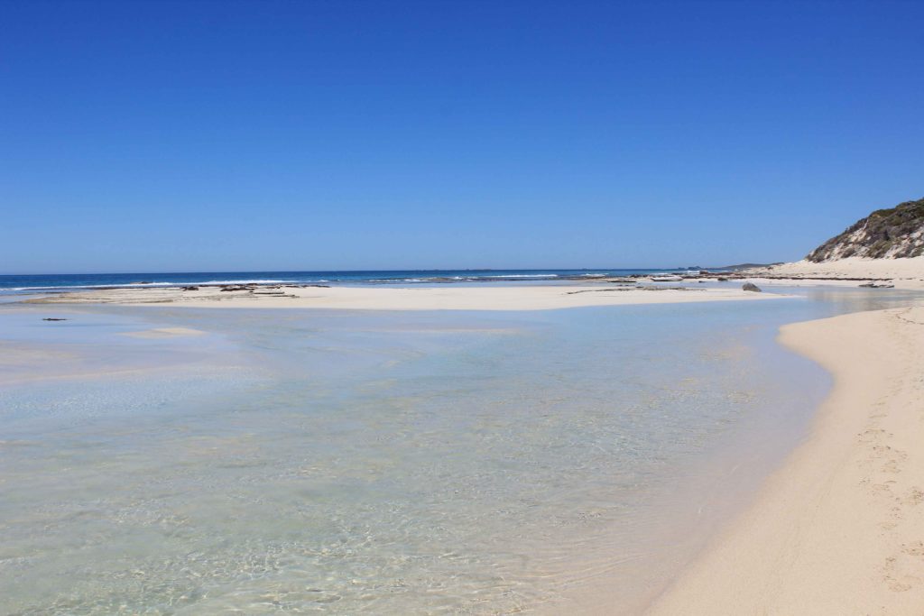
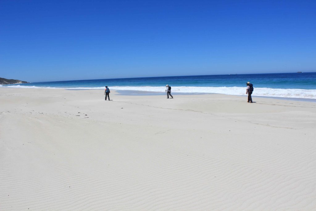
From here it was a long beach walk of around 6.5km to Hamelin Bay. The beach was quite firm and the 6.5 km only took us around 1.5 hrs to complete. We finished our walk today at around 2pm which we thought was pretty impressive. At Hamelin bay both Renae and Vicki had a recovery swim which they both enjoyed. Kaye and myself just waded near the shore. Both a pair of wooses when it comes to cold water.
Day 5 Fun Facts
Distance – 22.8 km
Calories – 1645
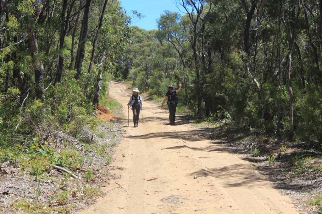
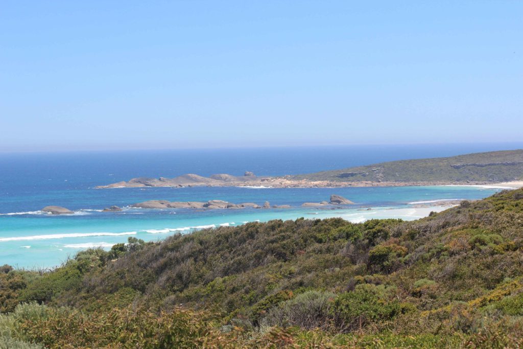
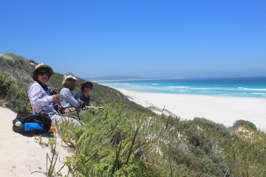
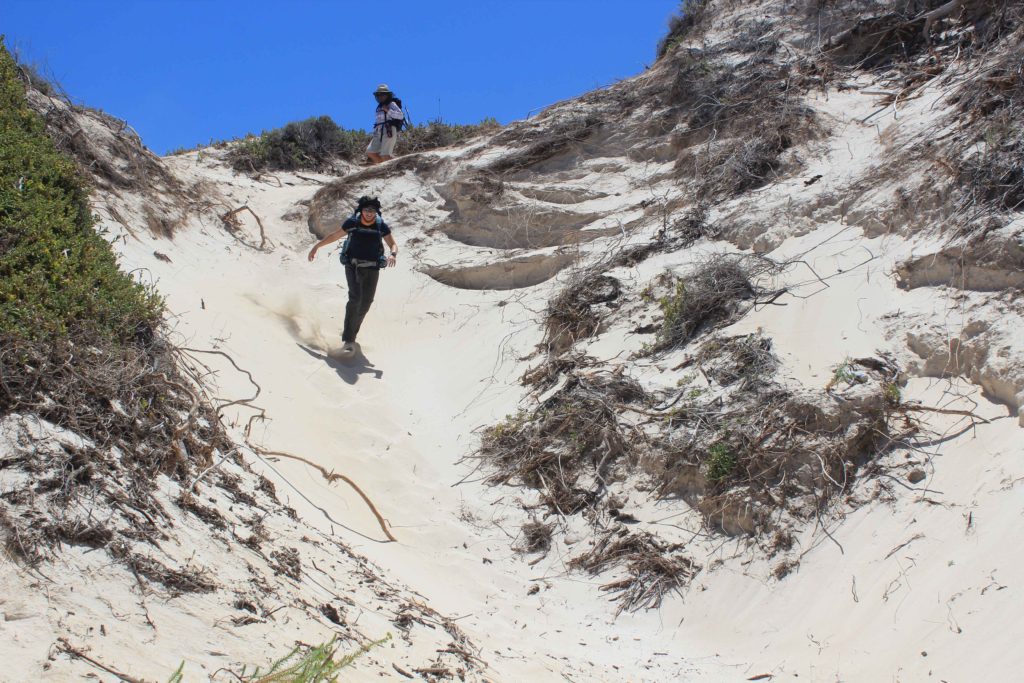
Well with Day 5 over it was only one day left to complete the Cape to Cape. It was really starting to feel like we had achieved something special as a small group. Bring on Day 6.
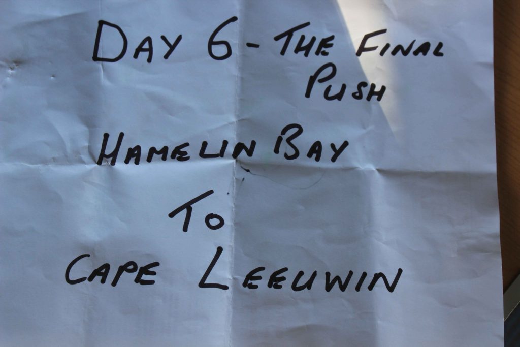
Day 6 was forecast to be the hottest day of our trekking so far so it was another early get up like the previous day. As it was our last early rise I was all keen to get it over with, as were the others.
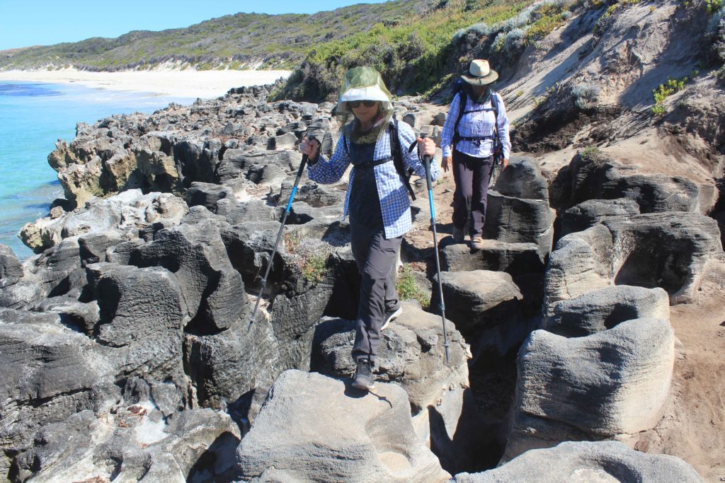
Rob took us the short drive to Hamelin Bay where we started off for the final push. The trek start took us over the limestone cliffs of White Cliff Point and then down onto the beach at Foul Bay for a short beach walk less that a kilometre in length. This then took us along a 4wd track to the small Foul Bay light beacon. We organised to meet Rob where the track crossed the Cosy Corner road for an early morning tea break. As the weather was already warming up it was a welcome break. From here the track then took us to the rock holes/blow holes at Cosy Corner. The way the water has eroded the rocks over time makes for a really impressive walk along them. With the calm waters and clear skies it was a stunning walk alongside the edge. If you are ever there when there is a decent swell the blow holes would probably be worth a visit. It was just after this section that Renae saw a nice big fat brown snake that spooked her a little bit. We had been warned to watch out for snakes on the trek and this was the first we had seen. Or Renae said she saw one, none of us actually saw it though.
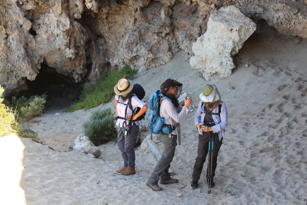
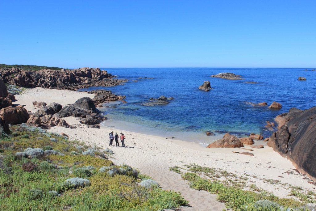
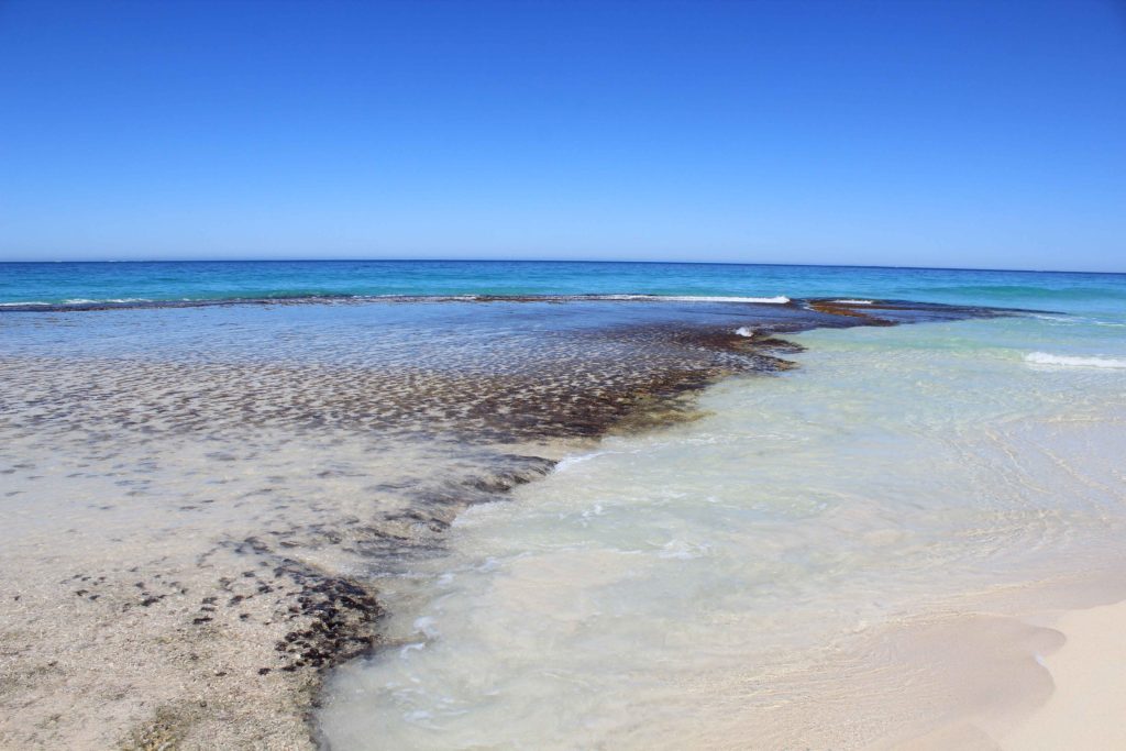
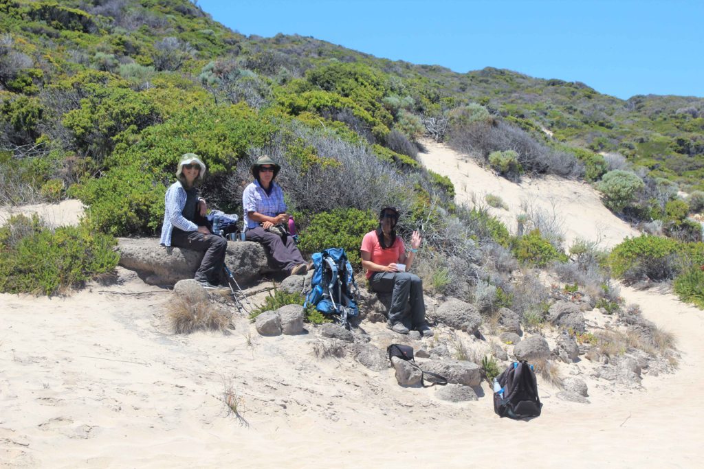
Shortly after we got to Cape Hamelin we started the longest beach walk of our trip so far. This was just over 8 kilometres in distance through some soft sand sections. As the temperature rose it was very hard not to be tempted to stop and cool off with a swim.. The beach walk had some nice rock sections jutting into the ocean with calm pools ideal for just laying in. The end of the beach walk finished with a walk up some sand dunes where we stopped to have lunch on a limestone out crop. There wasn’t really a spot where we could arrange to meet Rob so today we were carrying all our daily requirements with us.
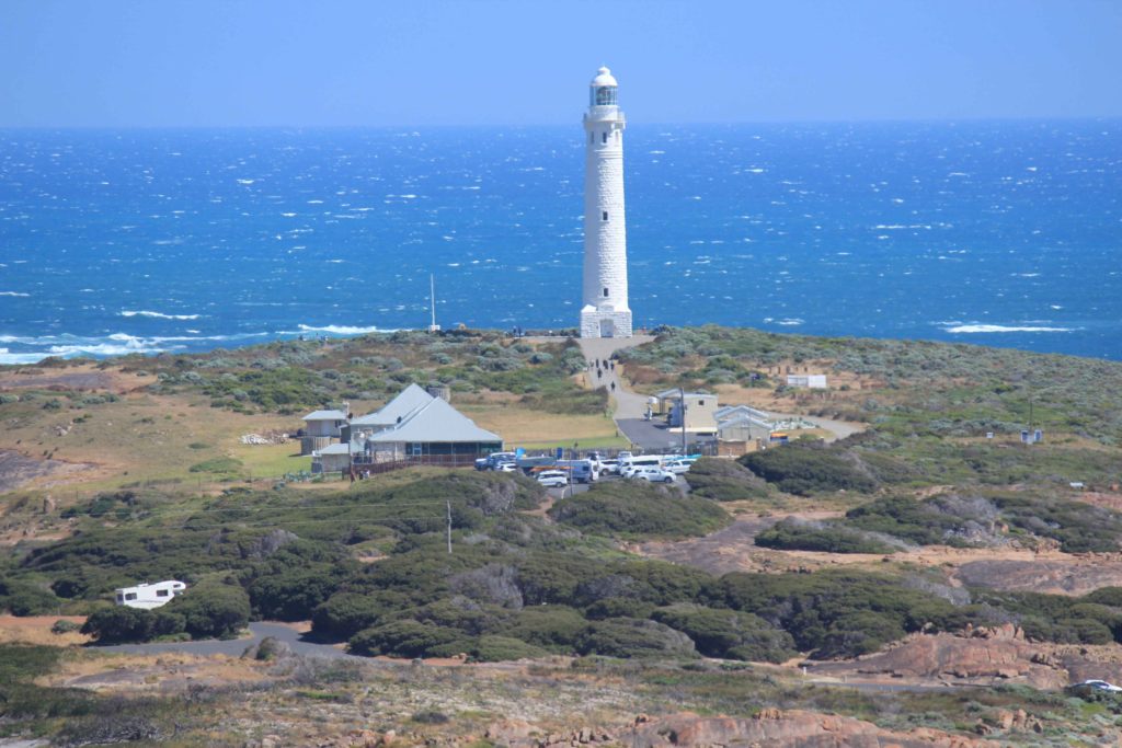
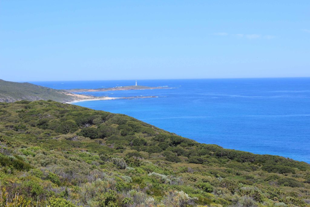
After lunch we carried on inland a bit and with minimal shade and hotter weather we were all feeling the effects of the day. Our water consumption had also increased quite a bit and we were starting to get a bit low. This was a tough section of the walk for us all and we wondered if we were smart in deciding to do it all in this warm weather. We managed to contact Rob and arranged to meet him at Skippy Rocks for a resupply of water. He was a great sight for some very weary walkers and met us with some nice cold powerade drinks that were gratefully accepted by us all. Skippy Rocks was not to far from the end of the trek and after our rehydration we set off all re-energised to the finish line. Just down the track a bit was the log book station where we happily signed off on the trek and continued to the car park at Cape Leeuwin Lighthouse.
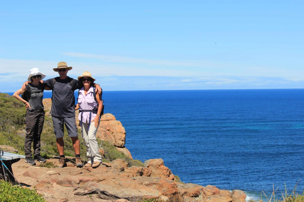
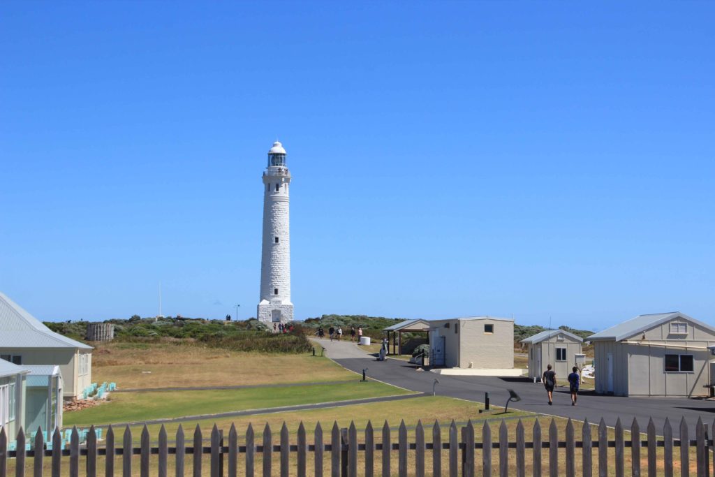
We all crossed the end point together and were a very happy group of trekkers. It was a big group hug and a few high fives and a great feeling to have completed the walk. A big surprise for us at the end was an ice cream each that Rob had bought us all. Never enjoyed a drumstick as much before. What a relief to finish. This was definitely our toughest day of the walk and I was really looking forward to giving the alarm clock the old heave-ho and not having to get up early the next day.
Day 6 Fun Facts
Distance – 24.9 km’s
Calories – 1985
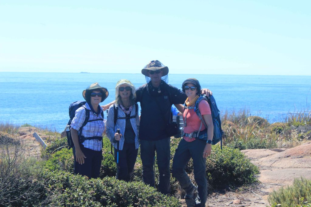
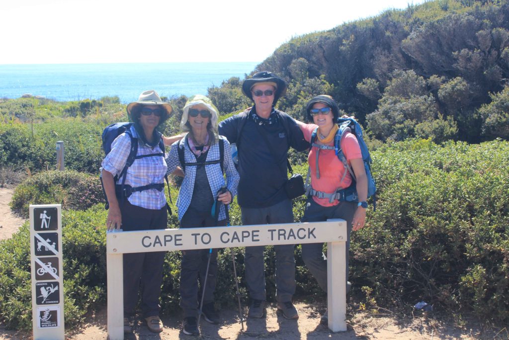
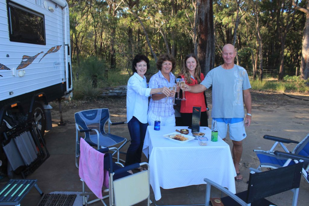
It was a great 10 days away and thanks to Renae for making us get up and finally doing the walk. It good to know you have achieved something that no one can take away from you. One thing that definitely made our trek easier was having a support person to drop us off each day, pick us up at the end of each day and meet us at prearranged points with food and water. It is the best way to do any trek and Rob definitely made our walking days a lot easier. Also having our travel/rest days made the whole trip feel more like a nice break.
Would we do it again. Not to sure, but would consider it if asked, though not to soon mind you. Special thanks to Rob for being the rod for us all and to Vicki, Renae and Kaye for not leaving me behind each day on the track.

