Windorah – Goondiwindi

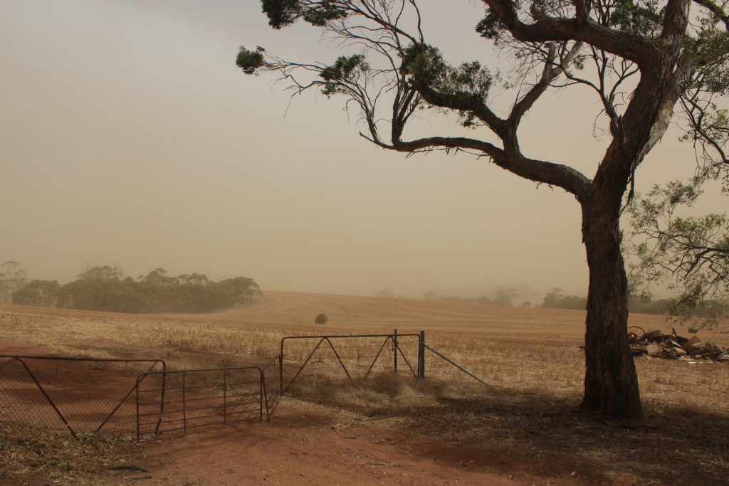
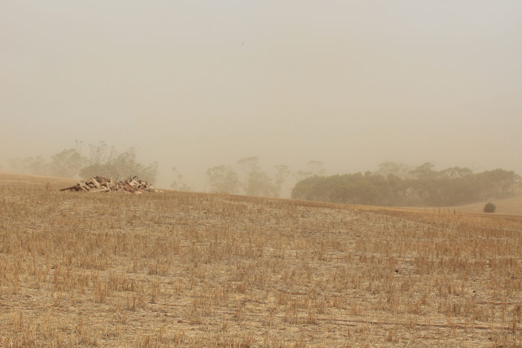
Leaving Windorah was the start of our slow trip back towards Goondiwindi.  Quilpie was our next destination for a couple of days.  After seeing all the traffic in Windorah heading for Birdsville, we certainly copped a lot more on the way to Quilpie.   It is a single lane bitumen road to Quilpie and its a pity some people don’t know how to pass on these roads.  Lots of drivers get completely off the road and spray rocks every where.  It was a 250km trip to Quilpie and we must have passed over 150 caravans and campers heading towards Birdsville in that distance.

At the Quilpie CP

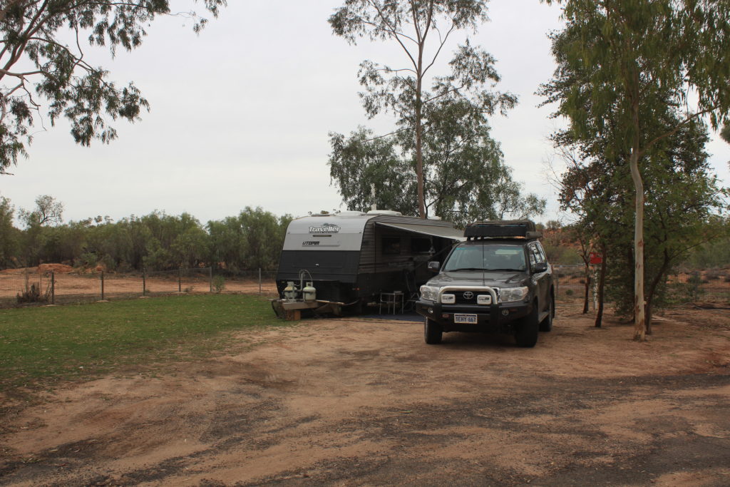
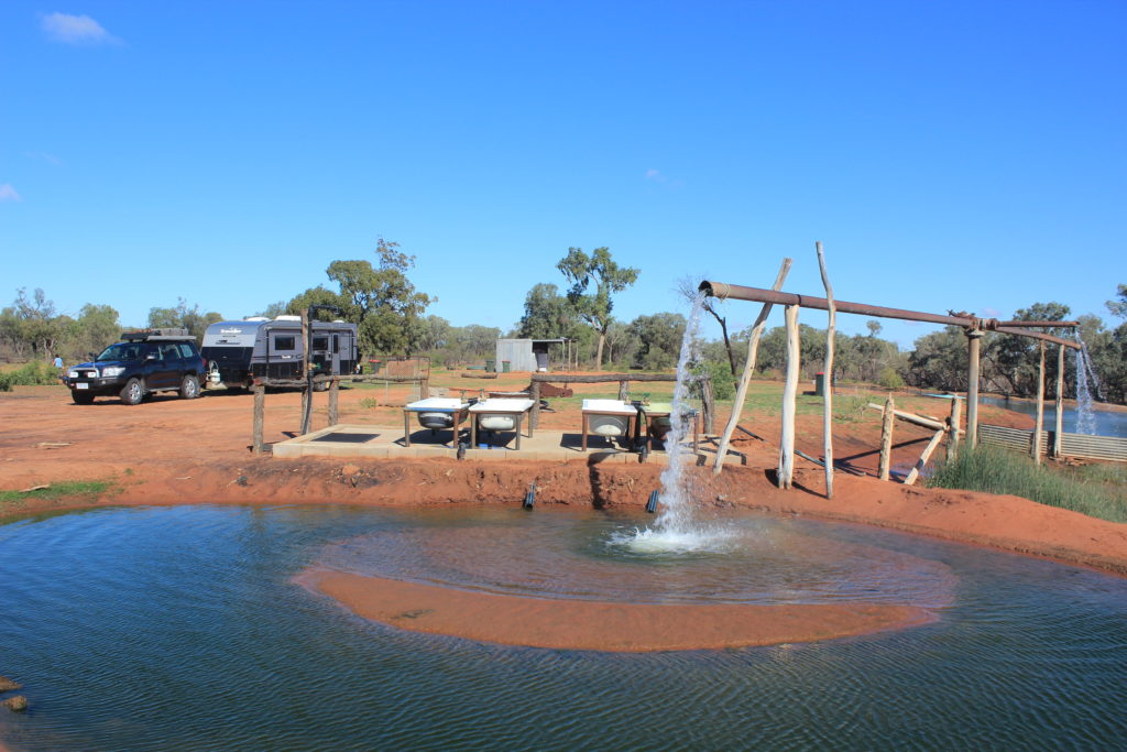
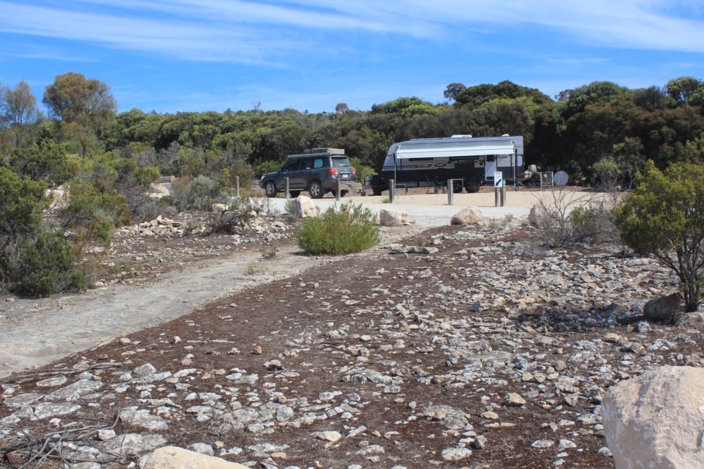
We booked into the Channel Country Tourist Park in Quilpie.  They had a deal for a three day stay so we took advantage of the offer.  They had no regular powered sites left and gave us one at the back on some grass.  It was probably one of the best sites in the park as we had no neighbours and grass.  The regular sites just had dirt and concrete slabs.  We weren’t complaining at all.

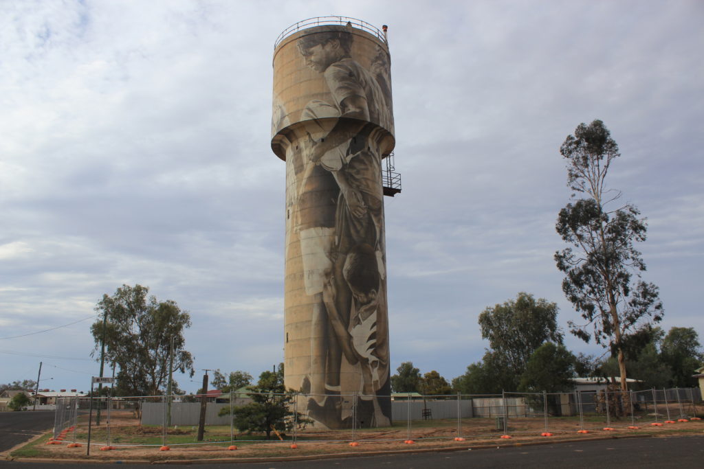
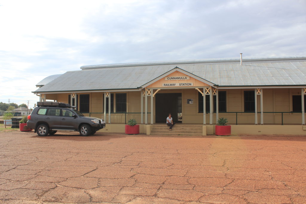
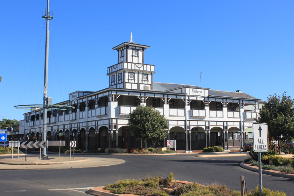
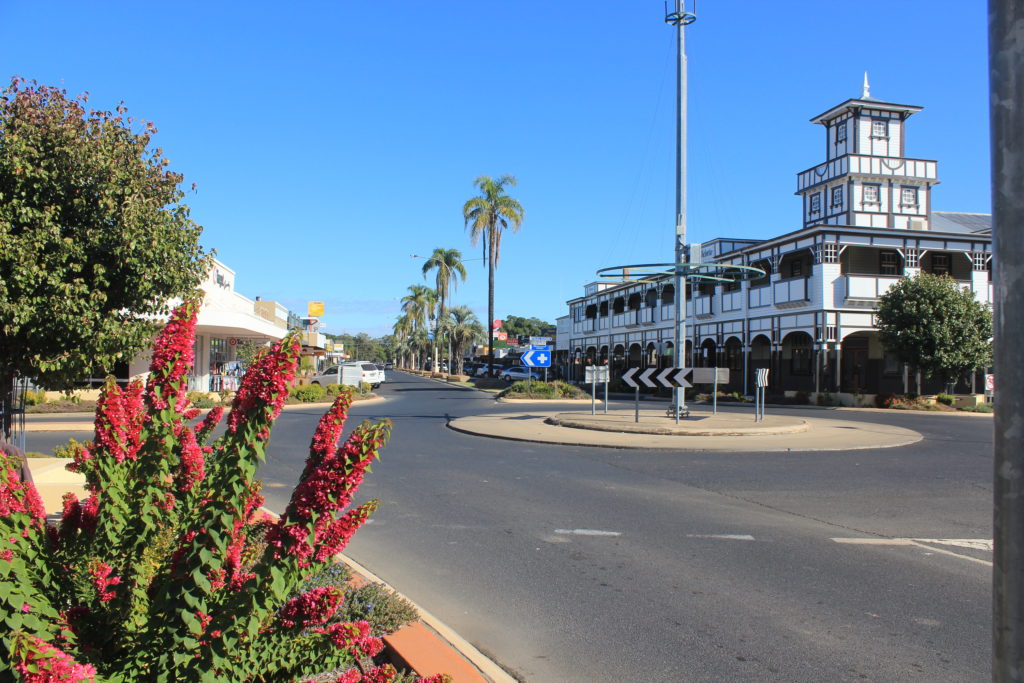
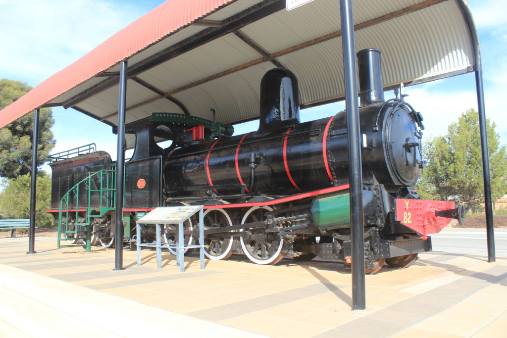
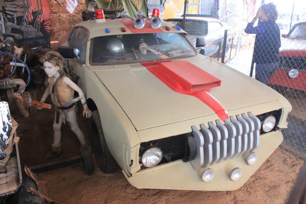
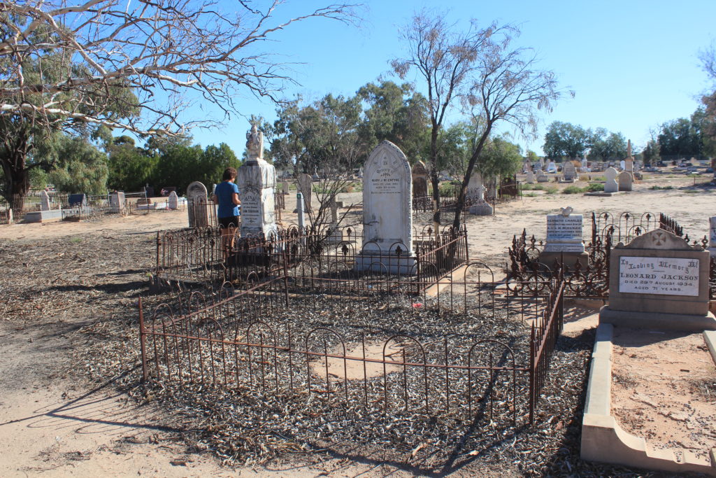
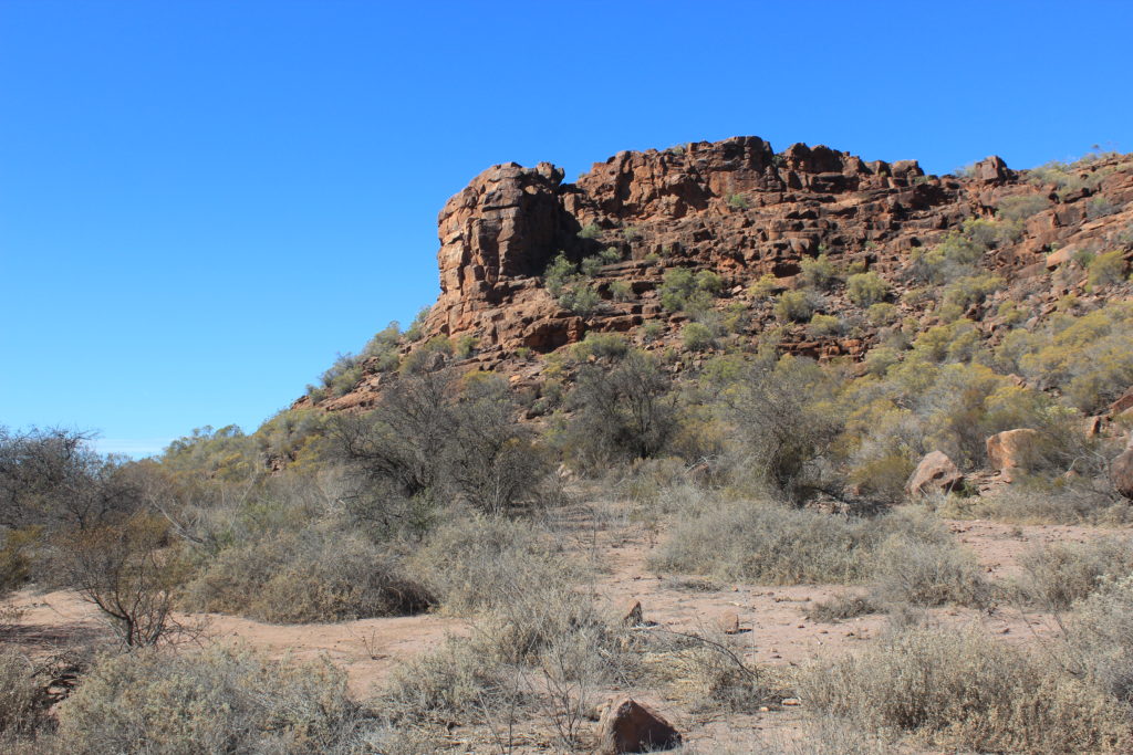
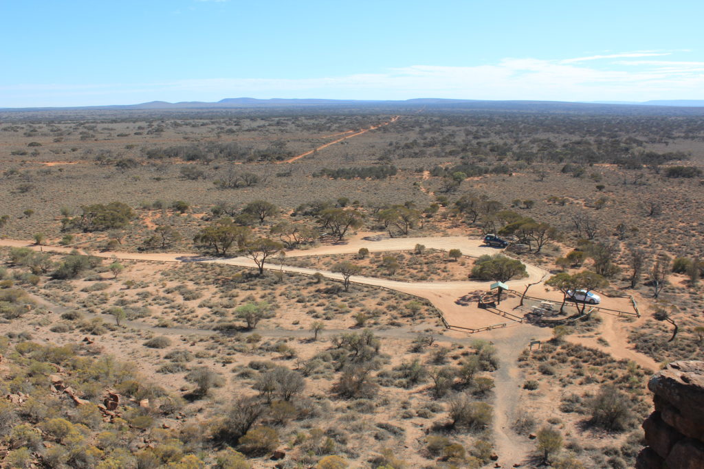
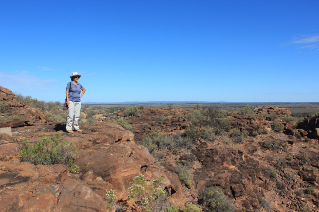
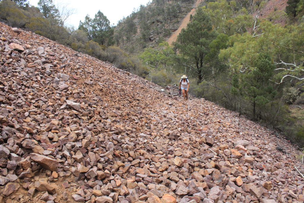
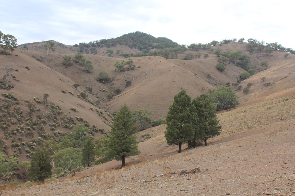
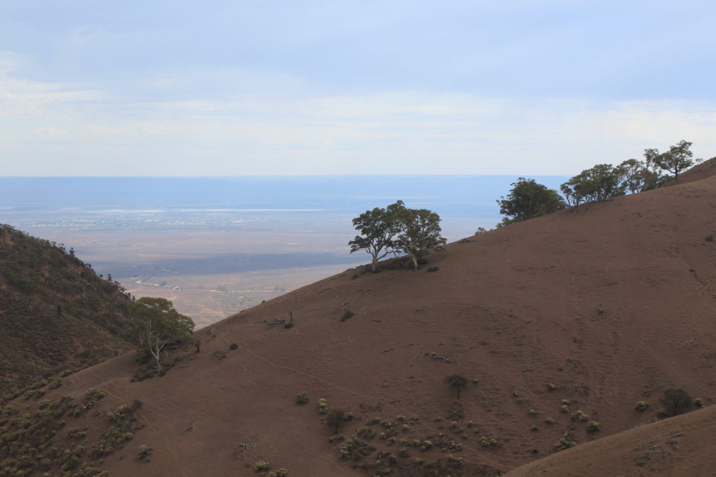
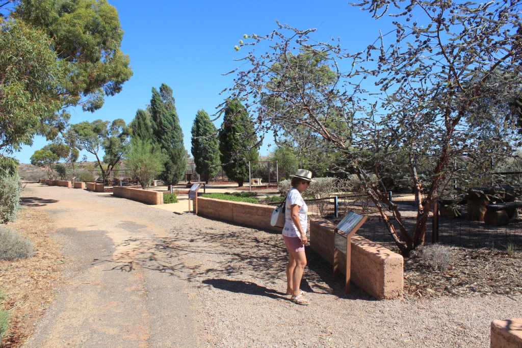
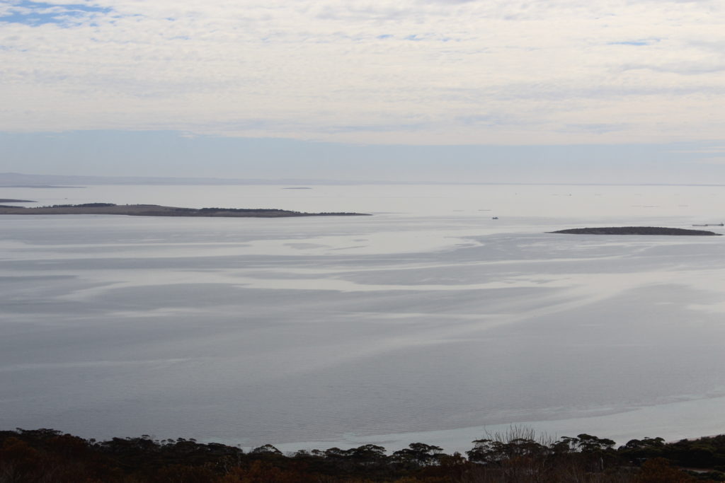
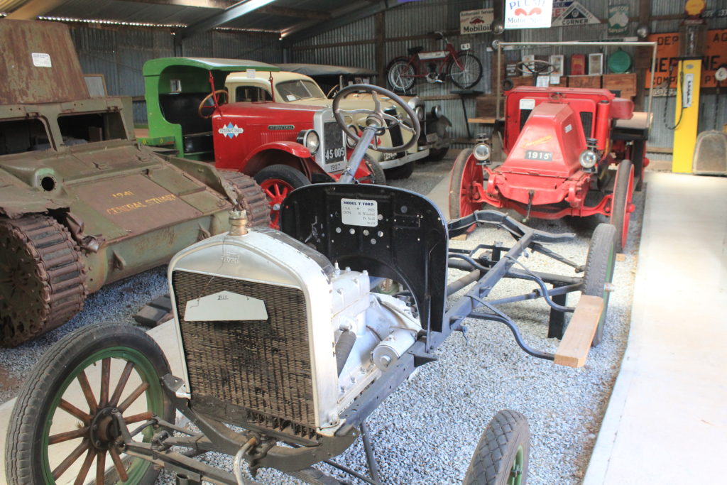
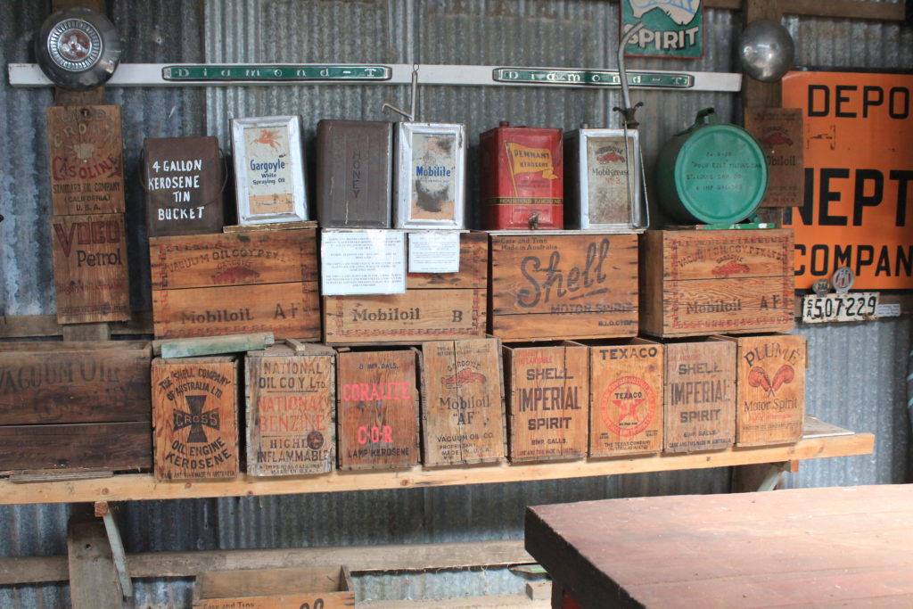
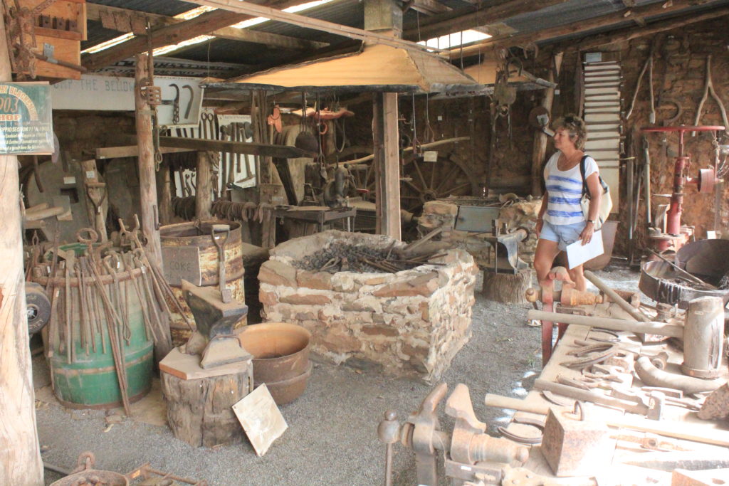
Quilpie has a few sites to see if you want to spend the time looking around.  They have an excellent small military museum that has some great displays.  Quilpie is also known as the “end of the line”.  Quilpie was proclaimed a town in 1917 due to the arrival of the rail from Charleville.  This was where the rail line finished and to this day is still known as the “end of the line”.  We did a sunset drive out to Baldy Top Lookout and had the obligatory wine while the sun set.  Considering how busy the town was with tourists we were the only ones out there which did surprise us.

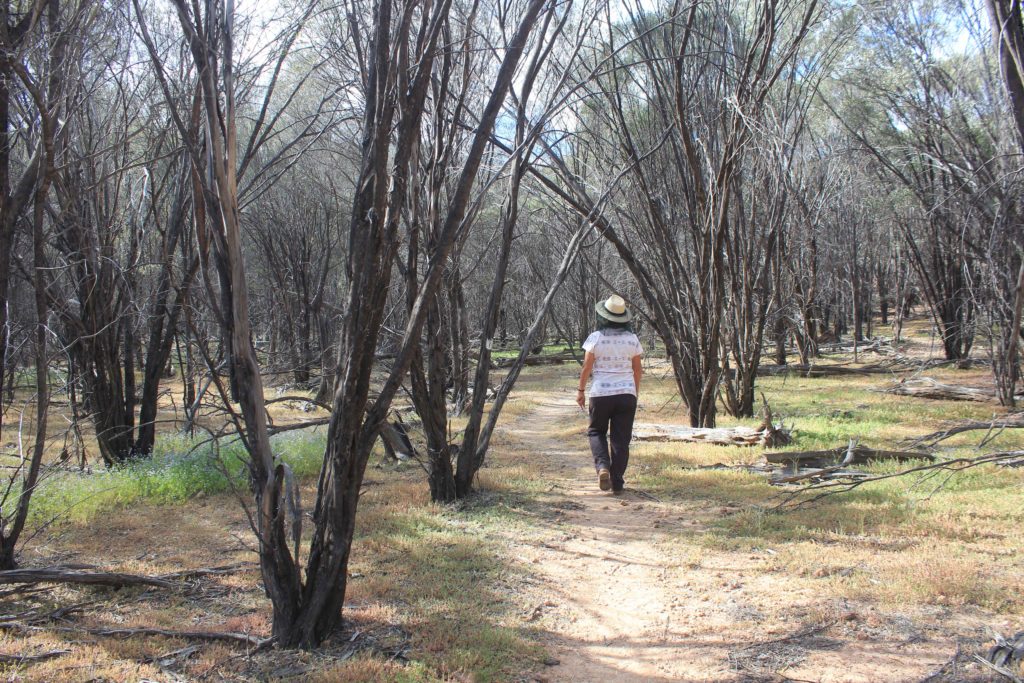
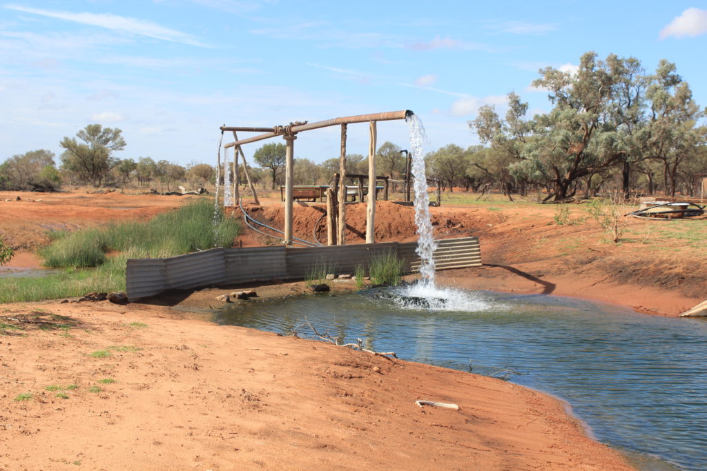
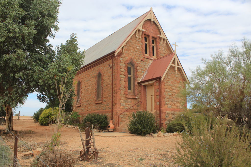
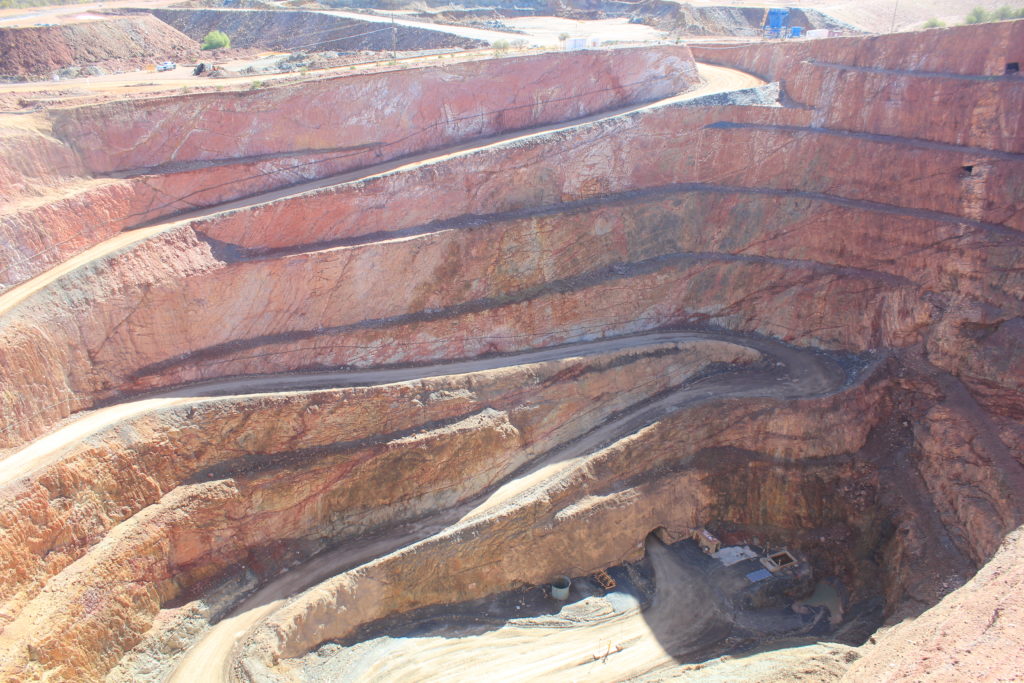
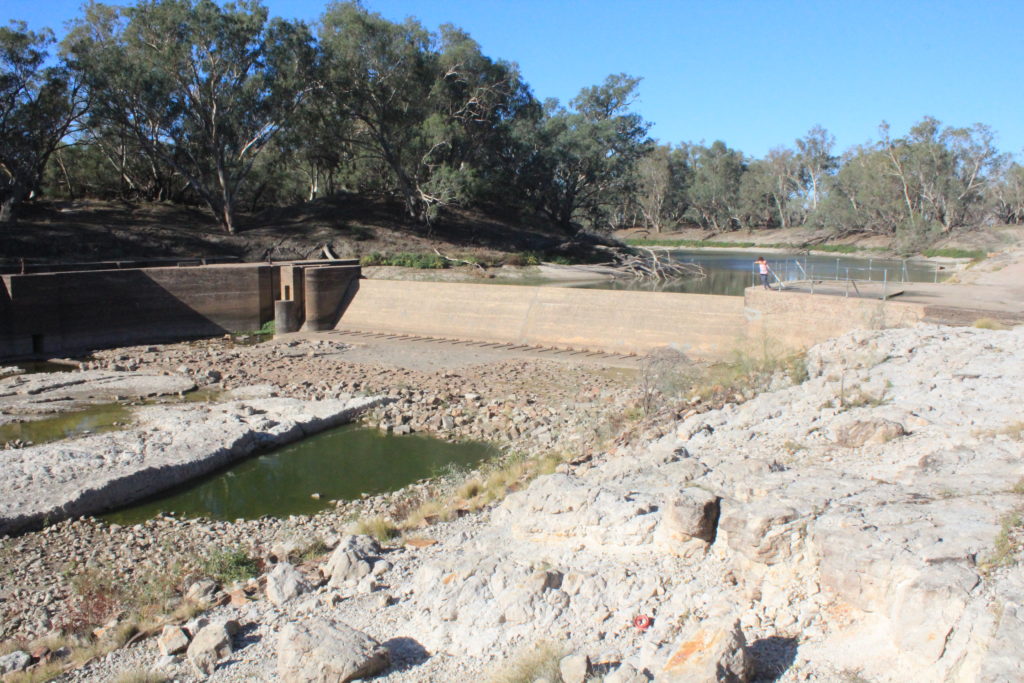
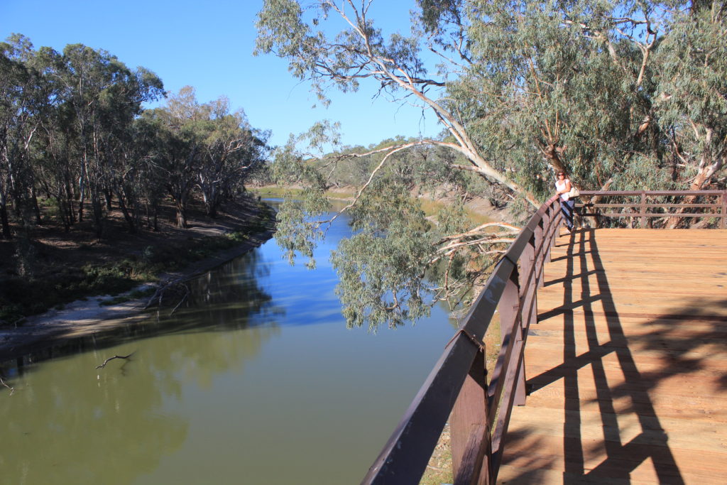
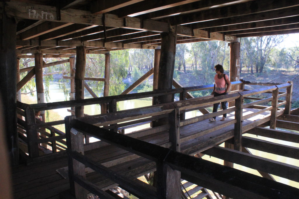
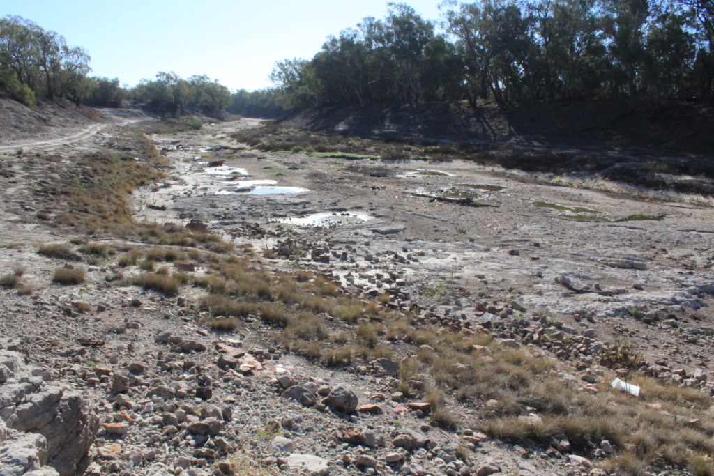
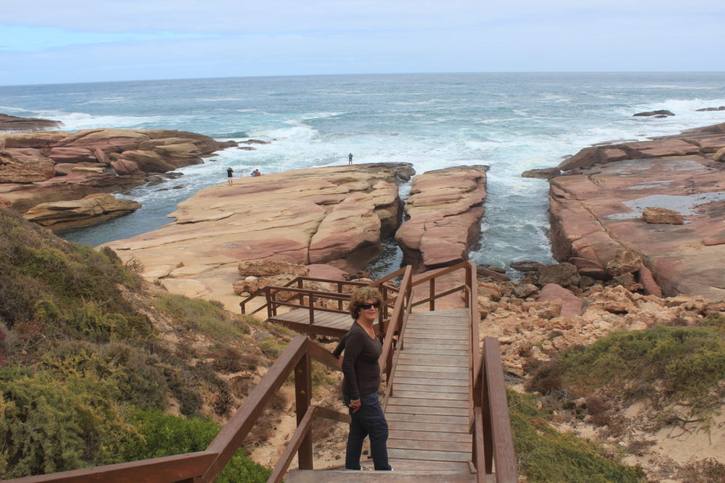
Quilpie is also known as the “Jewel of the Outback”.  This is where they find the boulder opal.  You can buy lots of souvenirs around the town as well as find some at the fossicking area just out of town.  St Finbarr’s Church in the town has a altar covered in the opals.  It mustn’t be a really valuable type of opal though because when we arrived at the caravan park to book in there was a wheelbarrow full of rocks with the opal in it that you could just help yourself to.  We also did the Bulloo River Walk on the edge of town that was OK but could do with an upgrade to make it a bit more walker friendly.

St Finbarr’s opal altar in Quilpie
Quilpie
Quilpie
Quilpie artwork
Quilpie artwork
Along the Bulloo River Walk
At Baldy Top Lookout waiting for the sunset
Almost sunset
Sunset at Baldy Top Lookout

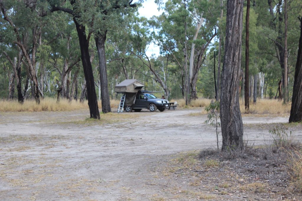
Charleville was next on our destination list.  We stayed a few kilometres out of town at the Charleville Bush Camp.  This is a no smoking/no pets caravan park.  It was nice to stay somewhere for a change and not have dogs toileting everywhere.  I even got offered a job there as a gardener when we pulled up to book in but all they offered was free accommodation and nothing else, so I very politely declined.

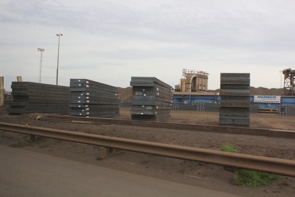
Charleville is quite a large town for the area and does offer good shopping and facilities.  You can do a tour of the airport that unfortunately we missed out on that tells quite a remarkable story of the Second World War.  During WW11 the USAAF had around 3500 personnel in Charleville and this is where they assembled their bombers for the Pacific War Campaign.  Charleville was selected because of is remote location and was too far for enemy planes to reach before running out of fuel on there return flight home.  They were also testing a new highly secret bomb siting instrument on the bombers that would provide more accurate bomb drops.

There is also the Charleville Bilby Centre to visit as well.  We had never seen bilby’s before so were looking forward to this.  They had about six bilby’s in their little nocturnal house to look at.  They have a good breeding program going and release them into the bush quite often.  Just a pity the light in the compound wasn’t a little bit easier to see them though.

Another interesting Charleville story is around 1902 when a well known meteorologist named Clement Wragge came to Charleville in the time of a severe drought in the hope to make it rain.  He used some “cannons” called Stiger Vortex Cannons that would shoot air up to clouds and hopefully make rain.  These were a European design that supposedly had been used successfully in Europe.  Needless to say the experiment wasn’t a success.  Clement Wragge was also the founder of the Meteorological Society of Australia and was also the first person in the world to give names to cyclones.

The day we arrived in Charleville the town had got together to try and break the record for the worlds longest damper.  They used to hold it before some nasty Europeans broke the record and made one about 111 metres long.  We got there not long after the damper had been cooked and they did set a new world record.  The new record is now 153.002 mtrs.  Mustn’t forget the all important 2mm at the end. Any way well done Charleville and we also got a piece of the damper to take home, cant beat that.

At the Charleville Bush Camp
Charleville
World record damper fire pit
Dampers cut up after the new world record was set of 153.002 mtr
Clement Wragge story
Clement Wragge and the Stiger Vortex Cannon story
The remaining Stiger Vortex Cannons
Charleville museum displays
Charleville Bilby Experience

Mitchell was our next one night stop.  This was just a small town that had a great butcher.  Recommend this place if you need some meat supplies when passing through.  From Mitchell it was onto Roma and the Roma Gun Club for one night.  As we had been through Roma previously on our other travels we didn’t really want to stay any longer than one night.  A trip to Woollies’ and a top up with fuel was the extent of our Roma visit.

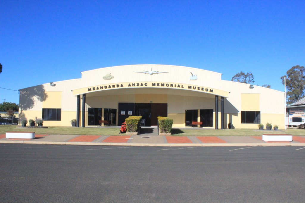
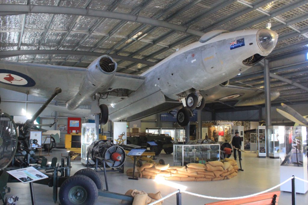
From Roma our next stop over was a very small place called Meandarra.  They have great little caravan park in Meandarra that is only $10 pn with power and water.  Why would you free camp at those prices.  We did a walk from the caravan park into the town centre which wasn’t very long at all.  In the main street we saw the Meandarra ANZAC Memorial Museum so decided to go in for a look.  What an excellent display they have.  The local community have really done an impressive job with the display and collection.

At the Meandarra CP
Meandarra ANZAC Memorial Museum
Brigalow Creek at Meandarra

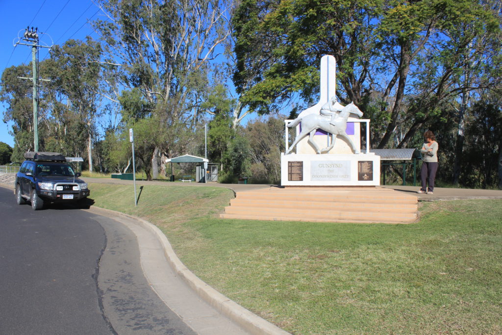
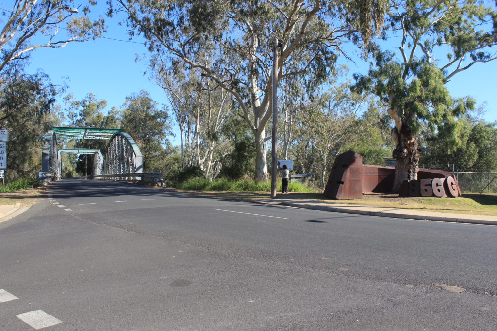
Our next stop is back to Goondiwindi again.  We seem to be regular visitors to this town.  We are meeting up with Jade and the boys for a week of camping.  Jade wants to get away from the cold Canberra weather for a while.  I hope the weather is good enough as we think its pretty bloody cold here at the moment.  Should be good fun as we have a farm stay organised. 

Salvator Rosa NP – Windorah

After a great stay at Salvator Rosa NP and picking up our van from the station we left it at we just did a short drive along the gravel and stayed in a small clearing located in the Goodlife section of the Carnarvon Gorge NP.  Not sure if this was allowed but no one was around so we did it anyway.  We originally weren’t going to go to Tambo on this road but after talking with the good people at the station we left our caravan at, they told us the road was quite good and more scenic, which it was.

Next day it was a only a short 90km drive into Tambo.  Along the way we passed through one of the few dog proof fences that you do pass through in this area.

Dog proof fence on the road to Tambo

Tambo was another one of these small outback towns in Queensland that make quite an effort to make you stay in the town.  We booked into the Tambo CP for 2 nights and then went and saw the sites of the town.  Tambo is home to the Tambo Teddies that started in town in 1992 when wool prices crashed and the local community was challenged to come up with a new industry to help sustain the economy of the small town.  They are very nice teddies and have become quite famous around the world with even royalty having been given teddies as presents.  There is a Qantas crash site that you can visit just on the edge of town.  Back in March 1927 a bi-plane on its usual mail run dived into the ground killing the pilot and the two passengers on board.  Besides the sign explaining what occurred there isn’t much else here to see unfortunately.  Just near the site there is the Coolibah Walk that goes for just over 4km and traverses each side of the Barcoo River that the town sits beside.  Tambo also has a couple of nice old buildings in the main street that help add to the character of the place.

On our second night in Tambo we went to the Royal Carrangarra Hotel to watch Ben’s Chicken Races and have a meal.  The chicken races are a fund raising event for the RFDS and quite a hoot.  There are around 10 chickens that are auctioned off and then they race around a small track four times chasing a remote control car with feed on it.  Its very funny to watch as some of the chickens run, some in the opposite direction and some not at all.  The buyer of the winning chickens gets half of the total monies raised and the other half goes to the RFDS.  Great couple of hours and worth doing if your ever in Tambo.

Qantas crash site at Tambo
Sculpture representing the wool days of Tambo
Old Tambo Court House
Tambo Post Office
Tambo main street
At the Tambo Teddies store
The Barcoo River on the Coolibah Walk

Blackall was our next destination just over 100km up the road from Tambo.  We stayed at the Barcoo River Camping area in Blackall.  At only $8 pn it was quite good value but no power or water.  It was OK for a couple of nights but we wouldn’t stay much longer than that.

Blackall is quite a reasonable size town with quite good shopping if you need to stock up a bit.  One of the attractions we visited was the Woolscour just out of town.  This is Australia’s last remaining steam driven wool washing plant that is now just a fully operating museum.  When it closed back in the day they just walked away and left everything there.  A group of locals got together and restored parts of the plant and got it running again as a museum.  They have done an excellent job and its well worth a visit.  There is also a free flowing artesian bore at the Woolscour as well and the hot water coming out of it was used when the place was in full swing.

The Blackall Aquatic Centre was also worth going t for a swim as well.  The pool is constantly being fed by the hot artesian water and they have built this incorporating a 50 mtr swimming pool.  Another feature of the pool is that they have made both sides of the pool a walk in feature.  With the hot bubble spa as well they have done an excellent job of the facility.

The original Black Stump is also at Blackall as well.  In 1888 surveyors used this site to help fix the position of principal towns and enabled the mapping of Queensland on a more accurate basis.  As time passed any part of the country to the west of Blackall was considered to be “beyond the Black Stump”, and this is where the saying originated.

Camped at the Barcoo River Camping Area
One of the many impressive art works in Blackall
Blackall main street
Black Stump at Blackall
Blackall Aquatic Centre
Artesian bore at the Blackall Woolscour
Blackall Woolscour
Shearing stands at the Blackall Woolscour
Blackall Woolscour
Blackall Woolscour
Old sheep yards at the Blackall Woolscour – this timber is over 100years old

From Blackall we were heading to another National Park for a look.  Idalia National Park was our destination and this on a good gravel road only about 100km away from Blackall.  When we read up on this park it said it was suitable for caravans so we decided to try it out.  The campground was quite good but unusually it didn’t have any real designated camp sites, you just pretty much parked anywhere.  There were a few fire pits around so we camped near one of these in a pretty good spot.  There were 4 other vans camped out here when we arrived.  This did surprise us a bit as at the other parks we had visited in this area we were the only ones camping.

There were a couple of drives you could do around the park that had a couple of short walks at the end of them though nothing to long.   The Bulloo River also passes through the park and is mostly dry.  Emmet Pocket Lookout does offer some good views over the escarpments.  There were also some quite unique stockyards made up from a time gone by that they intertwined mulga branches through wire to make fences.  These were then strung between trees and used to hold stock during musters before it became a National Park.

Camping out at Idalia NP
Some of the unique stockyards used when Idalia was a working station
Wave Rock at Idalia NP
Walking at Idalia NP
It was quite green at Idalia in places
Billabong at Idalia NP
Emmet Pocket Lookout
Emmet Pocket
Escarpment views at Idalia NP
Old fencing in ruins in Idalia NP
Someone was keeping an eye on us
Idalia NP gorge walk

Isisford was our next place of rest on our little trip through Central West Queensland Outback.  We stayed at the Barcoo Weir Campgrounds on the edge of town.  This was $3 pn or $15 pw if you wanted to stay longer.  When we arrived we were a bit taken aback at how busy it was.  There were lots of caravaners staying here.  After speaking to some of them they were staying here for up to three months and came here every year.  We asked one chap what he did to fill in his time and his reply was collecting firewood, fishing and relaxing.  There is the Oma Waterhole a few kilometres out of town that you can stay at for the same price.  We did a drive out here for a look as well and it was also very busy and it looked like some were set up for a long stay.  Longreach is only about 100 kilometres away and lots would drive up there every so often for day trips.

They have made some of the older shops in the main street static museum displays of how they would have been around 50 years ago, and these were really interesting.  Some of the items on display brought back many memories.  We did a meal at the local hotel while in Isisford and thoroughly enjoyed it as well.  There was also the annual fishing competition coming in a couple of weeks and they say the town really swells at the seams when this is on.  The main catch in the Barcoo River is Yellowbelly and attracts lots of enthusiasts.  On the edge of town there is a large tin statue of a Yellowbelly on display that welcomes you.

Old shops in Isisford
Isisford old hotel in main street
Barcoo River at Isisford
Barcoo River weir near our campground
A big Yellowbelly welcome to Isisford

Leaving Isisford we had a choice of a couple of directions we could take to our next stop which was Stonehenge.  One route was to follow some more bitumen or the other was some gravel that saved about 80 kilometres.  We decided on the gravel and glad we made the choice.  The road was excellent and no traffic.  Only passed one car in the 100 km of gravel.  Most of the country side was good to look at and with no other vehicles the drive was very relaxing.  There were also some pretty impressive displays of Mulla Mulla to drive past as well.

Morning tea break on the road from Isisford to Stonehenge
Mulla Mulla was everywhere on the trip to Stonehenge

Stonehenge was only a one night stop in there very well presented caravan park.  This was only $16 pn with power and water.  Great deal.  There is a very different pub in Stonehenge, doesn’t really look like one at all.  This was a good excuse for me to have a night off from cooking so to the pub for a meal it was. 

Nice display at Stonehenge

Windorah was the next place on our Queensland trip west.  This was as far west as we were heading before turning back on some different roads.  We didn’t realise that the Big Bash was coming up in Birdsville, because Windorah was very busy.  They have a really good caravan park in Windorah that is only $16 pn as well.  We stayed for two nights as Kaye again was falling behind in washing and I desperately needed clean clothes.  Both nights we were here the park got full with vans and campers heading towards Birdsville.  We were glad we weren’t heading there as well as they were expecting over 12,000 people and around 3500 vans and campers. 

They have a pretty impressive solar farm at Windorah that didn’t seem to be operating when we looked at it.  No one could really tell us if it was going or not.  We did the nature drive that was a 12km drive along a dirt track with signs pointing out different tree species.  It was OK though not overly interesting.  Just out of town there is the Cooper’s Creek Camping Area that looked like it was OK.  For a creek there was a lot of water in it, quite impressive.

Windorah Nature Drive
Cooper’s Creek
Campers at Cooper’s Creek
Windorah’s impressive solar farm
Old court house at Windorah that is now a “private residence”
Windorah main street

Well Windorah was as far west as we were going this trip.  Our next turn is left at Windorah then heading back in an easterly direction.  We have seen some great sites so far and hopefully the rest of this little venture will be just as good.

Bundaberg – Salvator Rosa NP

After a pretty relaxing stay in Bundaberg it was in a westward direction and inland for a few weeks of travelling.  Our first place to stop was Eidsvold.  We decided to stay just out of Eidsvold at the Tolderodden Regional Park.  This was only a few kilometres out of town and was free.  What more could you want.  Another bonus was that we were the only ones camped here and there was also fire wood around.

Our camp at Eidsvold – had it all to ourselves

There is a bit to see around the Eidsvold area and we had no trouble filling in a couple of days looking around.  Archer Homestead was worth a visit.  This is the original homestead of the Archer family who were brothers from Norway and were some of the original pioneers of the district over 100 years ago.  The RM Williams Australian Bush Learning Centre is also worth a look.  The centre provides stories of the people around the district and their contributions to the past.  RM Williams also settled at Rockybar, a cattle property just west of Eidsvold in his later years. 

At the RM Williams Australian Bush Learning Centre

Theodore was our next destination.  They have a free camp at Theodore and we checked that out to stay at.  It was very crowded and quite shady so we moved on.   We stayed at the Theodore Rec Reserve and Showground which we felt was better as you had more room and power and water for only $20..  This is where we started to see lots of caravaners doing the inland trek.  We weren’t sure how busy it would get with grey nomads and Theodore was the start of the crowds.

Theodore is a very neat town and had a bit of a mining town feel for both of us with the way it was laid out and maintained.  The local hotel is run by the community and all profits go back into the town.  Theodore also had a bit to see around the area and two days was filled in quite easily.  We did a drive out to Isla Gorge National Park with the intention of doing some walks.  When we arrived it was really just a lookout with only a couple of short paths.  We were a bit disappointed with this but you cant have everything I suppose.

Isla Gorge National Park
Weir near Theodore
Theodore water tower and park
Theodore main street
Old church in Theodore

From Theodore our next destination was Rolleston.  On our drive to Rolleston we stopped at Cracow for a morning tea stop near an impressively painted water silo.  Its good to see when some places make an effort to make ugly eyesores a bit more pleasing to the eye.

The impressive water tower at Cracow

Rolleston was a very small town and was only a washing stopover for us.  Kaye had fallen behind with the laundry and we couldn’t fit anymore dirty clothes into the cupboard.  With all the grey nomads on the road the community had opened a coffee van in the park which was very popular with the passing traffic and those of us who had decided to stay for the night.  We did do a drive out to a billabong close by and had a nice picnic lunch with all the flies.  They were starting to get very friendly by now as we were heading further west.

Another thing we had noticed as we were travelling was the amount of butterflies everywhere.  The bush out here certainly attracts them in the winter months and they are quite prolific. 

Our billabong lunch stop at Rolleston

Springsure was our next stop for a few days.  This was a bit bigger town and had some good shops for restocking.  The Showgrounds were our home for a couple of days and worth the stay.  While in Springsure we did a drive out to Old Rainworth Fort that has quite an interesting story attached to it.   In October 1861, 19 people of the party from Victorian settler Horatio Spencer were massacred by aboriginals not far from Rainworth Station as it was known then.  During the attack Edward Kenny managed to escape on a saddled horse and rode to Rainworth and broke the news of the attack.  No reasons were ever discovered for the attack and in the reprisal attacks no accurate number of aboriginals killed was ever known.  It was because of this incident that Rainworth Station acquired its “Fort” title.

Also very close to Springsure is the Minerva Hills National Park only a few kilometres out of town.  Some of the views from the top of the surrounding area are very impressive and also over the town of Springsure itself.  Pity about the road into the park though, it was very rough.

Old Rainworth Fort
Old Rainworth Fort
Old Rainworth Fort
The old Cairdbeign School
Minerva Hills NP – Skyline Lookout
Minerva Hills NP – Freds Gorge Lookout
Minerva Hills NP – Springsure Lookout

From Springsure we were going on gravel for a while and heading ultimately to Salvator Rosa NP.  Our road was the Dawson Development Road and we had heard mixed reports on its condition and how bad it could get as well.  We have found that most times you are best off just going on the roads as we have found most peoples opinions of a bad  gravel road are very different to ours.  We were heading for a rest area only around 115km up the road for the night.  Besides around 10km of reasonably bad corrugations the road was very good and our rest stop for the night, though close to the road was good and we did have a nice fire for the night.  Plenty of firewood out here, and flies of course.

Morning tea stop on the Dawson Development Road
Our nights stopover on the Dawson Development Road

On the web site for the National Park we were going to they said that the road in wasn’t suitable for taking caravans on, so we had phoned ahead to a station not far from Salvator Rosa and asked if we could leave our caravan with them for a couple of days.  They very nicely obliged so the next day was a short drive to drop the van off then onto Salvator Rosa NP.

Salvator Rosa is a section of the Carnarvon National Park.  The campground at Salvator Rosa is called the Nogoa River Campground and we had it all to ourselves. We weren’t expecting to see many people out this way, but were surprised that we were the only ones here.

There are a few tings to see at Salvator Rosa with the crystal clear spring fed creeks being a highlight.  Though there were no overly long walks the treks up to Homoranthus Hill and around Spyglass Peak did offer some impressive views of the area.  Major Thomas Mitchell and his exploration party camped near this area in 1864 and used the springs to allow his men and bullock teams to recover after exploring the country to the north and east.  It was Mitchell who named the area Salvator Rosa as it reminded him of the paintings by an Italian Baroque painter of the same name in the 1600s.

Our camp at Salvator Rosa – Nogoa river Camping Area
Salvator Rosa NP – Spyglass Peak
Salvator Rosa NP
Salvator Rosa NP
Salvator Rosa NP
Salvator Rosa NP – Belinda Springs
Salvator Rosa NP – Louisa Creek Junction
Salvator Rosa NP – China Wall Rock
Salvator Rosa NP – Grass trees regrowing after fire
Salvator Rosa NP – Spyglass Peak

We did enjoy our visit to Salvator Rosa NP.  Its not very big but it did have some nice places to see and the campground was pretty good as well.  As it happened we felt we could have easily bought the caravan in with us but we weren’t to know and anyhow we had a good time in the rooftop tent.  Now its just a short drive back to the van and then continue on the gravel towards Tambo.  Hopefully the gravel roads stay as good as they have been so far.

Brisbane – 1770 – Bundaberg

After our little sojourn over to Vanuatu and another excellent flight with Air Nauru we arrived back into Brisbane and a couple of nights booked at our first ever stay in an Air B&B.  Renae booked this for us and the place she chose was excellent.  We weren’t far from the river or city centre so the next day after a great nights sleep we walked down to the river and caught one of the river ferries into the city centre.  We were also very lucky to have a clear sunny day to do our bit of touring in the city.

Welcome to Brisbane

Our day spent in the city was a mixture of a lot of walking and some apparently essential shopping for the girls.  The river ferry system is a great way to get around Brisbane if you are able to use it.  They have a lot of stops along the way.  The only downside we felt was that you weren’t able to purchase a day travel ticket for the ferries.  Opportunity for an improvement there I think.  Later that night we caught up with Hollie Walton for a meal  and night out.  Great way to finish the day off.

River ferry stop on the Brisbane River
Great day for travelling on the river
Enjoying the sunshine in the Brisbane River
City views from the ferry
Girls will, be girls
Great city views of Brisbane from Mt Coot-tha

We had planned a bit of a short tour of some of Queensland while Renae was going to be with us so after our day of touring Brisbane city it was on the road and back to Stanthorpe to get the van and start our little trip.  On our drive back to Stanthorpe we called into Lake Moogerah for a morning tea stop and look around.  Very nice little area with nice small rural plots.  Stanthorpe was next and catching up with Wayne and Julie again was great and also to see some of the extra work they had completed in the short time we had been away.

Lake Moogerah dam wall
Lake Moogerah
Lake Moogerah water release

We were having one night in Stanthorpe and the next morning Renae had arranged to go on the park run in town.   As the weather in Stanthorpe can be very cold we both decided that she could go into town on her own. Glad we did as apparently the temperature for the park run was a very chilly -4.6C. Great weather if your a polar bear I suppose. After Renae came home we finished packing the car and van then said our goodbyes to Wayne and Julie then hit the road for Noosa.

Unfortunately for us our arrival in Noosa also came with some cloudy and cooler weather. Renae was hoping to try some surfing at Noosa but the weather and surf conditions didn’t seem to want to play the game.  We also had a small amount of rain while here for a couple of nights so that made life more interesting for Renae as she was sleeping in a swag outside.  Just isn’t enough room to have more than two people sleeping in our van.  We did do a walk through some of the Noosa National Park that followed the coastline .  We got as far as Tea Tree Bay before turning around and heading back.

Noosa Beach
Cold weather greeted us at Noosa Beach
Noosa Beach
Noosa Beach
Starting our walk into the Noosa National Park
Noosa coastline
Noosa coastline
Afternoon tea break at Tea Tree Bay Lookout
At tea Tree Bay
Noosa coastline

Leaving Noosa our next destination was a caravan park called Standown Park.  We had stayed here before when we went to Fraser Island a few years ago and this was our plan again.  We were leaving the van at the park and going over to Fraser Island for two nights.  The ferry we were catching leaves from Inskip Point which is near the town of Rainbow Beach.  The weather also seemed to be clearing up a bit so things were looking brighter all round.

This trip across to Fraser Island we weren’t going to go as far north on the island as before.  After a nice flat ferry crossing we were on the island and ready for adventure.  Our first camp site on day one was Dundubara.  This was still a reasonable drive along the beach to get to.  On our last visit to the island we didn’t see may dingo’s but this time was different.  We were lucky to see quite a few walking on the beach.  They are very scrawny looking on the island though, they look very hungry.

While at Dundubara campground we did a walk to the Wun’gul Sandblow.  This is a large slow moving sand dune that is gradually moving in a westerly direction engulfing plants on its journey.  Dundubara was an excellent campground with lovely hot showers and very large sites.  We also passed the Maheno Wreck that is very slowly rusting away gradually into the ocean.  Renae did her obligatory handstand in front of this.  We were lucky as well as the weather fined up very nicely, good thing as we were all tenting it.

On the ferry from Inskip Point
At the Maheno Wreck
At the Maheno Wreck
A handstand at the Maheno
Lunch Day 1 on the beach
Wun’gul Sandblow
Camping at Dundubara

Day two at Fraser saw us driving inland a bit and looking at some of the freshwater lakes on the island.  Nearly all the roads on the island are basically just single lane tracks of varying degrees of smoothness and firmness.  You probably wouldn’t want to be here during holidays or long weekends as passing bays are a bit scattered.  As some people are not the most courteous of drivers it would get pretty frustrating I would imagine on these tracks.  Then there are the larger tour operators in their 20 plus seat trucks to navigate as well.

The freshwater lakes on Fraser are all different with Lake McKenzie having the bluest clear water to Lake Garawongera that has real tannin stained waters.  We also took in both lakes Birrabeen and Boomanjin.  Our camp for day two was Central Station.  You would think you were in a tropical rain forest at this camp.  It is quite damp and there a moss covereing tree trunks all over.  It did get quite cold at night and just to top it off the hot showers weren’t working.

Beach driving on Fraser Island
Lake Birrabeen
Lake McKenzie
Lake McKenzie
Lake McKenzie
Boardwalk near Dili Village

Well Fraser Island was a quick trip and it was back over to the mainland to repack everything from the car and then after a nights rest on the road to Hervey Bay.  This was just a one night stopover again for us.  As it happened there was a park run in Hervey Bay the next morning so Renae was up early again to compete in this one.  Kaye went along this time.  The weather was a bit warmer than Stanthorpe plus it also started an hour later as well.

After packing the van we were on the road to our most northern destination with Renae.  Agnes Waters/1770 was going to be our home for a couple of nights.  This is a very nice area of Queensland that does attract quite a few southerners during the winter months.  We were also in time for the markets on Sunday that were only a short walk down the road from our caravan park.  I tried hard to encourage the others to do the walk but they couldn’t be persuaded.

1770 is also where Captain Cook came ashore back in 1770 hence the name of the area.   This was Cook’s second landing in Australia.   A rock cairn has been erected and there is a nice coastal walk from the cairn to Bustard Bay Lookout.  Wave Lookout from this walk also offers some nice views of the coast.

Agnes Waters/1770 markets
Inscription on cairn at Cook’s Memorial
Coastal walk to Bustard Bay
Bustard Bay Lookout
Wave Lookout
Paperbark Forest Boardwalk – doing them two at a time
Paperbark Forest Boardwalk – only doing them one at a time
Paperbark Forest Boardwalk
We saw lots of butterflies on our walks

We were nearing the end of our travels with Renae and our next destination was a bit south to Bundaberg.  We had two more days left with Renae and we arranged a tour of the Bundaberg Rum Distillery.  We had done this a few years ago and quite enjoyed it so talked Renae into doing it as well.  They have built a big new reception and sales area since our last visit and also changed the tour a bit.  From what I remember of the last tour this one is not quite as detailed and in depth as previous.  Still the tastings at the end of the tour were quite nice though, if you like Bundy Rum that is.  That night we also went for a farewell meal to the RSL Club which was a short walk over the river from where we were staying.

After we had had said our goodbyes to Renae it was time for us to catch our breath and sit back and relax.  We had a great time showing Renae a very small part of Queensland and we did a lot of travel in a short time compared to how we normally travel.   We ended up staying in Bundaberg for 8 days.  Bundaberg is not a bad town and there is a bit to see around the area.   We also did a day trip down to Hervey Bay during this time as Kaye had dropped off some jewellery to be looked at in our earlier visit there a week before.

A visit to the Hinkler Hall of Aviation is worth a look if your ever in Bundaberg.  This tells the story of Bert Hinkler who was born in Bundaberg and was a pioneer Australian aviator.  He designed and built early aircraft before being the first person to fly solo from England to Australia and also the first person to fly solo across the Southern Atlantic Ocean.  He unfortunately died at the young age of 40 after crashing in remote countryside near Florence, Italy during a solo flight record attempt.  His body wasn’t discovered until about a year later and he was given a state funeral in Italy.  He had an amazing life in his short time and to read his history is really interesting.

Visiting the Bundaberg Distillery
Up close to the Bundy Bear
A great display of all the Bundaberg Rum ever bottled
At the tasting hall after the tour
Chinese garden at Bundaberg Botanic Gardens
Bundaberg Botanic Gardens
Japanese Garden at Bundaberg Botanic Gardens
Train rides at Bundaberg Botanic Gardens
Hinkler Hall of Aviation
Raw sugar being loaded at Bundaberg
The impressive jetty in Hervey Bay

After 8 days of chilling out in Bundaberg it was time to get on the road again.  We have decided on heading inland for a look.  Hopefully the weather won’t be too cold for us and maybe the crowds will be lees as well.

Vanuatu

We had a great few days in Stanthorpe catching up with Wayne and Julie, they are doing an excellent job in setting up their property.  This also allowed us some time to do a few small jobs around the van that we had put off. 

We drove down to Brisbane the day before we were due to fly out to Vanuatu and stayed at the hotel near the airport for the night.  The next day we had a 10am departure and were a bit surprised when we found out it was on an Air Nauru plane.  We hadn’t  flown Air Nauru since leaving Nauru over 30 years ago.  The flight to Vanuatu was excellent with heaps of leg room in economy.  Can’t fault the flight at all, good service, good food and roomy.

The sign says it all
Our plane at Brisbane Airport nearly ready for boarding

After we arrived at Port Vila we had around a two hour wait as Renae was flying in from Sydney.  We had arranged to meet her at the airport before we all boarded our next flight to the island of Espiritu Santo.  The three of us were spending 4 nights on this island before coming back and catching up with Anika and Ben on another island.

Espiritu Santo or just Santo when you talk to the locals was a great place that was at a lot slower pace to Port Vila.  The development hasn’t been as quick as on the main island and I suppose this would be the case with all islands in this area.   On Santo we stayed in the main settlement of Luganville.  The hotel was on the main street and the noise was very minimal.  Renae was keen to dive the WW2 wreck SS Coolidge.  This was a passenger liner converted to a troop carrier that was sunk after hitting a sea mine and the captain ran it aground before it sank saving all but one life.  Renae did three dives on the wreck, two during the day and a night dive that allowed you to see all the glow fish around you.  While Renae did the day dives on the SS Coolidge, Kaye and myself went over to a small island called Dany Island for the day.  This was a short drive out of town then a small dinghy ride out to a private island that we had all to ourselves for the day.  It was also the day of Kaye’s birthday so it was an excellent way to spend the day.

We also hired a car for the day while at Santo and did a drive along the coast up to the small village of Port Olry.   Santo is well known for its blue holes.  These are fresh water holes that have continuous fresh water flowing into them that has been filtered through the limestone.  They are such a vivid blue and so clear they are stunning.  Champagne Beach was also pretty special.  This beach had beautiful white sand and with the calm ocean it was very idyllic.  We also had this whole beach to ourselves, just amazing.  If we ever come back to Vanuatu we must remember to pick the same time of the year, hardly any tourists, just great.

Another place of interest on Santo was Million Dollar Point.  The story behind this was that at the end of WW2 the Americans had a lot of surplus equipment on the island and instead of trying to take it back to the US they offered it to the French for a pretty cheap price. The French thought they would be smart and declined the offer hoping the Americans would just leave it all behind. Instead they drove all the equipment off the end of the wharf they had built and then blew up the wharf.  Now when you visit the area there are all these rusted out body parts and engine blocks littering the beach

At Luganville markets on Santo
Luganville on Santo
Luganville main street
Million Dollar Point
Impressive tree at Million Dollar Point
Million Dollar Point
The boat ride to Dany Island
Dany Island
Dany Island all to ourselves
Dany Island
Coconut plantation on Santo
So green on Santo
Coconut plantation on Santo
One cool dude near the crystal clear creeks that flow everywhere
Nanda Blue Hole – stunning fresh blue water
Nanda Blue Hole
Nanda Blue Hole
Nanda Blue Hole
Champagne Beach – we had this all to ourselves
Champagne Beach
Champagne Beach
Champagne Beach
Local fishermen at Port Olry
Cows on the beach at Port Olry
Matevulu Blue Water Hole

We had great four days on Santo but it was time to leave and fly back to Port Vila.  We had one night booked at a hotel in Vila then we were off to Hideaway Island where we were catching up with Anika an Ben.  The hotel we stayed at in Vila was quite old but OK for one night.  They had kava tasting on the night we stayed so Renae sampled that for the first time.  She wasn’t convinced it was nice tasting and I don’t blame her.  We also paid a visit to the local market in town and had a nice sit down meal with the locals.  Good fun all round.

Markets in Port Vila
People always seem happy in Vanuatu
We saw some very strange flowers as well
Our kava instructor at the hotel

Our drive to get to Hideaway Island was about 15 minutes out of Port Vila and about a 300 metre boat ride off the coast to a very small island that has a few bungalows on it.  Once there it was well set out and all the activities were free.  This included use of mask and snorkels, glass bottom boat cruises, stand up paddle boards and introductory scuba lessons.  They also get a lot of day visitors to the island as well.  We arrived on the island around midday and Anika and Ben arrived around 3.30pm.  It was good to catch up and have both girls together with us to help celebrate Kaye’s birthday.

Besides snorkelling and a couple of small boat rides there wasn’t a real lot to do on the island, four days was going to be long enough for us.  Just off the island there was a good little bar that had different entertainment each night and we were lucky enough to be able to watch an excellent fire show.  We were expecting to see a couple of people doing minor acts but instead were treated to 90 minutes of non stop fire entertainment and it was just a donation at the end of the performance, just amazing.

We also hired a car for one day and did a day trip to the east of Port Vila.  We also visited a blue hole here as well aptly called Blue Lagoon.  Even  though it wasn’t as spectacular as the ones we saw on Santo, it was still nice though and this one actually fed into the ocean if you swam and followed it around. It also had a couple of ropes you could swing off and this kept the younger ones occupied for a while.   One nice place was Eden on The River which had some nice waterfalls and a great swimming area underneath them.  We had lunch at Eratap Beach Resort which also had a very nice little beach area and again not many tourists around.  This does seem a good time of the year to visit these islands.

Hideaway Island in the background – only a very short boat ride off the main island
Hideaway Isalnd
On the “ferry” to Hideaway Island
The whole gang on Hideaway Island
We had sunsets like this every night from our room
The great fire show we were lucky to see
Ben buying some local produce at the markets
Ben, Anika and Renae at the markets
I got spotted
Anika at The Blue Lagoon
On the rope at Blue Lagoon
Renae and Anika at Blue Lagoon
Ben at Blue Lagoon
Blue Lagoon
Blue Lagoon
Eden on The River
Eden on The River
Eden on The River
A SUPer strutting her stuff on Hideaway. That’s a “stand up paddle boarder” for us uninitiated.
Fish following the glass bottom boat at Hideaway
Paul, Renae and Anika in the water ready to do some snorkelling
Happy girls on Hideaway Island
At one of the local kava bars – just a bit early

Well after a great 10 days in Vanuatu and with five of those with both girls it was time to pack up and fly back home.  We really enjoyed the pace of life in Vanuatu and it was great to be able to walk around and not be hassled like you are in Asian countries.  One thing we did notice here was how unpolluted the water seemed to be.  With all the snorkelling we did we didn’t see any rubbish floating in the water.  Very different to some Asian countries. 

We would really like to come back again one time later and do a bit more island hopping.  They seem to have a pretty good air service between a lot of islands in the group, over 83 islands in Vanuatu as well as local boat services.  They even have an active volcano on Tanna Island that you can visit.  I think you could fill in about 4 weeks here quite easily.

After we arrive back in Brisbane Renae is staying with us for around 12 days so we will be doing a bit of touring around Queensland with her as our guest.  Just hope we aren’t to boring for her, or to slow.

Bourke – Stanthorpe

Bourke was our last stop in NSW and our next stop was not far over the Queensland border and into Cunnamulla.  Cunnamulla is a neat little town that has a pretty rich history with early grazing and also for the Slim Dusty song Cunnamulla Fella.   There is a large bronze statue that was commissioned in 2004 to personify the Cunnamulla Fella and also the Slim Dusty song.

We booked into the Cunnamulla Tourist Park for a few days.  This was a neat little park that the owners are making a pretty good effort of trying to keep it looking appealing.

We did a couple of walks around the town and also the sand hills walking tracks that were not quite what we expected.  A short drive to the Allan Tannock Weir on the Warrego River was worth it as there was water flowing quite fast over the wall.   Most of the locals were quite happy with the rain they had recently had and were hopeful of more to come.

Crossing the border into Queensaland
At the Cunnamulla Tourist Park
The Cunnamulla Fella Statue
Locals that kept us company on the Sand Hills Walking Trail
The Warrego River overflowing at the Allan Tannock Weir
Pontoon near the Allan Tannock Weir
The Warrego River was pretty full
Bridge over the Warrego River at Cunnamulla
Mural on water tank at Cunnamulla
Cunnamulla Train Station

Our next stop from Cunnamulla was only a short drive of about 45 kilometres east along the Balonne Highway to Charlotte Plains Station.  They have some hot artesian bores that they have set up with bathtubs that you can sit in and “enjoy the experience”.  We weren’t sure if we would be able to get out there as some of the roads we still wet.  Luckily for us though we were able to get through quite easily.

When we arrived there were only two other vans out there so room wasn’t a problem.  The next day they both left as the weather forecast was for more rain so they decided to scamper.  As we weren’t in a hurry we decided to stay and had the whole place to ourselves for the next few days.  It did rain and we did have to stay a day longer that planned.  Luckily the wine supply was good so we were able to hunker down and tough it out. 

The setup with the baths is quite well done and with the bores running continuously you don’t run out of water.  With saying that you can only spend around 15 to 20 minutes in the baths anyhow before you start to get to hot and also start to look a bit prune like.  The borehead was first tapped in 1892 and has been flowing continuously since then.  It has slowed down some since it was first completed but still flows at around 1,000,000 litres a day.

Camped at Charlotte Plains
The continuously flowing artesian bore
The open air baths at Charlotte Plains
What an attractive couple
On the day it rained you could see the steam coming off the water very easily
Some old stockyard fences at Charlotte Plains
Lovely blue skies on the day we drove out after being rained in

The drive out of Charlotte Plains wasn’t too bad.  We only had one spot on the dirt track that was a bit slippery and we did only just get through it.  A heavy van on the back does make life interesting on mud tracks.

Our next stop was an overnighter at Wallam Creek in Bollon.  This is a free camp on the edge of town that was well set up and had plenty of room.  There were probably around 20 of us there for the night and no-one was to close to us.  We did a walk through some bush and along the creek for a bit of exercise before going to the local for a meal that night.  If you are ever in Bollon the pub meals are excellent, and huge.  Probably to large but you definitely get your monies worth.

St George was next after a Bollon.  Food was getting low and the dirty clothes were starting to fill the cupboard a bit much so it was time for Kaye to do some domestics.  We booked into the Kamarooka Tourist Park.  It was quite a nice park though a bit tight with the bigger van but well run and presented.

We did a few drives around the area of St George.  A stop for lunch at the Nindigully Hotel was a nice treat.  At the Nindigully Hotel you can purchase an $80 Burger that comes with 5.5kg of beef patties if your game to try it.   There is a lot of cotton grown in the district and the irrigation channels run all through the area.  Being so dry over here at the moment most of the channels were dry and the cotton harvest has been well down on previous years.  St George is on the  Ballonne River and has a nice river walk in the town that was nice for a couple of walks.

Beardmore Dam Wall near St George
Balonne River at St George
River walk along the Balonne River in St George
Jack Taylor Weir at St George
One of the few full irrigation channels around St George
Ducks perched on trees near St George
Aerial crop spraying near St George
Cotton crop ready for harvest
Cotton bales ready for transport to the cotton gin
Iconic Nindigully Hotel

We had a nice stay in St George.  I think more also that we both enjoy being back in Queensland, seems to have something special about it when you are here.  Mungindi was our next place, just a short 120km down the road right on the NSW border.  On our drive to Mungindi we passed through Thallon.  They have some magnificent silo art there to see.  It would be about the best we have seen.  Well worth a stop to look at.   They also have a statue of a giant wombat in the local park that we saw being opened in an episode of Back Roads on ABC TV a few years ago. 

 We stayed at a free camp just on the Queensland side of the border.  Mungindi is where the straight line of the border separating NSW and Queensland stops and then goes all twisty following the rivers to the ocean on the east coast.

Just out of Mungindi is One Ton Post that was erected by the surveyor JB Cameron in 1881 that marks the start of the straight section of the border.  There was a similar post at Cameron Corner but this has disappeared and is now only a cement maker.  Mungindi also has a hot artesian pool and we thought that would be a good afternoon of relaxing.  Unfortunately it is only open in the mornings so that was our afternoons plans in the wash.

Silo art at Thallon
Giant wombat at Thallon
Camped Queensland side of the border at Mungindi
River Border at Mungindi
One Ton Post at Mungindi

Goondiwindi was our next stop before our final destination of Stanthorpe.  We had been to Goondiwindi previously so didn’t really anything much planned while here.  Mothers  Day was also came while in Goondiwindi so that was one night of entertainment planned. We went to the Victoria Hotel in the main street for dinner,  that has a very impressive looking façade.  During our drive to Goondiwindi from Mungindi we saw our first cotton harvester working.  We had seen plenty of harvested crops and lots of cotton bales but no-one working in the fields.

Harvested cotton waiting to be picked up and taken to the cotton gin
Cotton harvester in action

We stayed again at the showgrounds in Goondiwindi.  They are pretty good value for power and water plus they weren’t overly busy which was good for us.  Goondiwindi also sits on the border with NSW and seems to be a fairly major centre for the district both sides of the border.  Goondiwindi’s most famous resident was probably Gunsynd the racehorse back in the early 1970’s.   The Macintyre River also runs through the town as the border between the two states.

Gunsynd monument at Goondiwindi
Bridge over the border at Goondiwindi
The impressive Victoria Hotel at Goondiwindi
Goondiwindi main street

After surviving Mothers day in Goondiwindi it was off to Stanthorpe and catch up with Wayne and Julie.  They have a great property about 12km out of town and we had arranged to leave our caravan with them for a couple of weeks while we fly off to Vanuatu.  Last time we came to Stanthorpe they weren’t here so it was going to be good to catch up with them at home.  We also had a few small jobs to do on the caravan so a few days in Stanthorpe was what we needed.

We didn’t get up to too much while in Stanthorpe, we ticked off a fair bit when we were here last time.  The weather had warmed up a bit for us as well.  They had been having a few zero’s and minuses before we arrived.  We went for a day  trip out to Girraween National Park and did a 8 kilometre hike and climbed Pyramid Rock, walked to The Granite Arch then onto The Junction.  The Junction was where two creeks joined but unfortunately they were dry.  A couple walks in Stanthorpe around the river was a nice way to fill in some days when in town shopping as well.  Stanthorpe is a nice town that has most of everything you need and is only a couple of hundred kilometres from Brisbane.

Camped at Wayne and Julie’s
Not far from the top of Pyramid Rock
Girraween NP – climbing Pyramid Rock
Some interesting rock formation on Pyramid Rock
Girraween NP – The Granite Arch
Girraween NP – The Junction where Bald Rock Creek and Ramsay Creek meet
Historic rail bridge at Stanthorpe

Well the blog goes international again next time.  We are going to Vanuatu for a short break and to celebrate someone’s special birthday.  Also catching up with Anika and Renae while there also so that makes it even more special. Plus I think we need a holiday from all this travelling, its a tough road we travel.

Port Augusta – Bourke

For a few weeks now we have been having issues with our batteries whenever we are free camping.  At night we have been getting an alarm going off saying that we had low volts and to disconnect all appliances.  After discussion with the good people at REDARC and some line testing of our system we all came to the conclusion that our batteries are probably u/s.  This was disappointing as they are only 18 months old and it appears that some additional work we had done by the dealer to the van prior to pickup was the issue.  After some discussion between ourselves we decided to drive down to Adelaide and get some new batteries for the van.  This was a 300km deviation to our original route but we wanted the issue sorted out.

The drive to Adelaide went well and by around 1pm we had the new batteries in the van and the headed back out of the city to Gawler for the night.  We had been to Gawler before and decided to stay in the same caravan park we did when last here.  Its quite large and the sites are as well. We got here around 3pm so plenty of time to set up and then relax.  They also have a Dan Murphy’s in Gawler so we paid them a visit to get some essential supplies.  We weren’t sure when we would see the next one again.

Next day we were on the road again and heading for Peterborough.  This was going to put us back on our original planned route to get to Queensland.  On the drive to Peterborough we passed through Burra again.  We didn’t realise this until we were in the town centre and recognised some of the buildings.  We came in from a different direction this time.  Burra has some great old buildings you can do in a heritage trip through the town.  It was time for morning tea anyway so we decided to stop here for a break.

Morning tea break at Burra

At Peterborough we booked into the caravan park in the town.  We wanted to wait a few days before trying out the new batteries and decided to do caravan parks for a little while longer.  Peterborough is quite a nice small town and they have done a bit of work in the town centre trying to make it a bit more appealing.  Like most small country towns over this side of the country they have some great old buildings and it is good to see an effort being made to try and bring some life back into these areas.

We did a couple of walks around the town as park wasn’t very far away.  Being so dry in South Australia at the moment all towns are struggling to keep any green in the place.  They had a nice big park called Victoria Park that was really struggling to keep up with the dry.  Hopefully they have a good winter this year, they definitely need it.

Old steam train display at Peterborough
Peterborough’s old buildings are slowly being brought back to life

From Peterborough it was a short drive up the highway to Manna Hill.  Manna Hill has a free camp not far off the highway next to the hotel.  It was also time to test out the new batteries and see if we had managed to solve the low voltage alarm issue we had been having.  Manna Hill doesn’t consist of a lot.  Besides the local pub, police station and old station ruins there isn’t much else to look at in town.  Unfortunately for us the pub was closed for the Easter weekend so our entertainment was limited to our own imaginations!!!  A good thing to report though was that we both had a great nights sleep with no alarm going off during the night.  Hopefully we have solved our problem.

Camped at Manna Hill
Manna Hill train station
Manna Hill hotel

Manna Hill is definitely only a one night stopover.  Being so close to the road there was some noise but it did quiet down pretty well during the night.  Broken Hill was our next stop.  We had been here a couple of years ago but still decided to stay for three nights.  Again we also decided to stay out at the racecourse.  They have a pretty good set up there and you are camped on grass which is nice.  The price had gone up a bit since we were here last so it wasn’t as cheap as we thought it might be.  If their not careful they may find people will try and find alternative places to stay.

There were a couple of things we didn’t see last time we were here so we did manage to fill our time in quite well.  The Line of Lode Miners Memorial and Lookout was worth a look.  It looked like they still have some more work to finish off on this display, I hope so as it was a bit bare and barren on the outside.  We also did a day drive out to Silverton and looked at the Mad Max 2 museum while there.  Not quite what I was expecting but probably pretty good if your a Mad Max diehard.  On our way back to Broken Hill we called into the Daydream Mine for a look and small tour.  The tour was average but the tea and scones were very nice.

View of Broken Hill from the Line of Lode Miners Memorial
Line of Lode Miners Memorial
The big seat at the Line of Lode Miners Memorial
Welcome to Silverton
Silverton old church
Silverton old house
Mad Max 2 Museum
Mad Max 2 Museum
Mad Max 2 Museum
Daydream Mine
Daydream Mine
Daydream Mine ruins
Daydream Mine ruins

Wilcannia was our next place of interest after Broken Hill.  This was getting us up to the Darling River.  We were interested to see if any water was flowing at all in the river as there had been some rain in the area.  Alas no there wasn’t any water flowing, just a few small areas of water on the bottom.  The caravan park in town hadn’t been getting very good reviews so we decided to stay a couple of kilometres out at a place called Warrawong on The Darling.  This was a fairly small but well kept park but a bit on the pricey side so it was only a one night stay.  Lots of kangaroos around the park and nice grass so at least the ambience was good.  Word about the park in town must be well known as we ended up really crowded and when we went for a drive into town there was only one van in the town park.

Wilcannia was in its heyday was a thriving town of over 15000 people and also the third biggest port in Australia with all the paddle steamers going up and down the Darling River.  Its only a fraction of that now though there are some nice old buildings still standing in the town.  Wilcannia also has one of the oldest Lift Span Bridges on the Darling that had a centre section that raised when the river was high to allow the paddle steamers to travel further up the river. With the river now dry for most of the time you cant see much happening to help the town develop a more viable tourist trade.

Camped at Warrawong with the kangaroos
Wilcannia’s great old buildings
The poor state of the Darling River
Lift span bridge over the Darling River at Wilcannia

Cobar was our next stopover for a couple of nights.  We were wanting to do some more free camping to try out the batteries but with the rain they have had recently in the area, a lot of the roads were closed.  This also included the National Parks that we were hoping to stop off at.  On our drive from Wilcannia to Cobar we had water all along the side of the road for the whole 260 kilometres so our chances of staying anywhere off the road were looking grim unless we wanted to be walking around in mud – no thanks if I don’t have to.  We were changing our plans a little bit which also meant we were travelling a bit quicker than planned.  Hopefully it dries out a bit and we can do a bit more free camping and slow down.

The Cobar Caravan Park is quite a nice park with reasonably large sites and a concrete pad that you can set up next to on each site.  We were thinking that Cobar was going to be a bit smaller than what it was as well.  The town seems to be surviving quite well.  We knew it was a mining town but both thought it was not being done anymore in the town.  Just a couple of kilometres out of town you can go to Fort Bourke Lookout and look at Cobar and its surrounds as well as look down about 150 metres into the New Cobar Open Cut Gold Mine.    One thing that surprise us both a bit was the train station at Cobar.  Most towns seem to spend a bit doing up there old stations and Cobar seems to have ignored theirs a bit compared to other towns.

Cobar’s impressive entry statement
Cobar’s impressive entry statement at night
The New Cobar Open Cut Gold Mine from the Fort Bourke Lookout
Cobar’s main street buildings
Cobar train station
Old head frame at the Mining Heritage Park

Next along our way was Bourke.  This was going to be our last stopover in NSW before getting into our ultimate destination of Queensland.  We stayed at the Mitchell Caravan Park and decided to go on an unpowered site to give the batteries a good test.  This was a 160 kilometre drive today and we still had water all along the road for the whole drive, even more as we got closer to Bourke.

There were a few things to see around Bourke but again even with the rain they have had the river was still bone dry.  The country was greening up a bit though which was pleasing most of the locals.  Some were having green lawns for the first time in a while.  Fred Hollows, our famous Australian eye surgeon is buried in Bourke.  The cemetery also has the grave of Senior Constable McCabe who was shot and killed by the bushranger Captain Starlight.

Other places to visit in and around Bourke are North Bourke Bridge.  This is the oldest lift span bridge in Australia, similar to the one in Wilcannia.  There is also the Back O’Bourke Exhibition Centre and the paddle steamer PV Jandra that was sitting in mud in a dry Darling River when we saw it.  The Lock and Weir at Bourke was the first to be built along the Murray/Darling River Systems.  Not a pretty sight at the moment with no water in the river.  The Wal Mitchell Wharf Precinct was the base for the largest inland port on the Darling River in its heyday.  Not much here now though, just the remains of the old wharf that thankfully you can still walk around.  There also is the old Crossley Engine nearby that has been fully restored.  This once provided power for Sydney and the Power House Museum and is now situated in Bourke.

The Crossley Engine on display at Bourke
The dry weir near Bourke on the Darling River
At the Wal Mitchell Wharf Precinct
Under the Wal Mitchell Wharf Precinct
How dry the Darling River is around Bourke
The PV Jandra high and dry in the Darling River at North Bourke
North Bourke Lift Span Bridge
Fred Hollows burial site at Bourke cemetery
Old graves at Bourke cemetry

Well after a couple of days not being hooked up to power we had no alarms going off at night so we feel quite confident that we have sorted out our electrical/battery issues we were having.

Our next stop is over the border in Queensland, its good to know that we will finally be there.  Hopefully it a bit drier so we can get off the road a bit, fingers crossed.

Port Lincoln – Port Augusta

Well after being through one of the biggest dust storms we have seen and surviving it was time to leave Port Lincoln and start our venture of the Eyre Peninsular up the east side.  Our destination was for a free camp just outside of Port Neill at a place called Carrow Wells.  On our travel to Carrow Wells we stopped off at Tumby Bay for morning tea and to look at the silo art they have there.  Well worth a look at.  Tumby was another neat little town that you could easily spend a couple of days  at and do essentially nothing.

Silo art at Tumby Bay

Our arrival at Carrow Wells was one of indifference to us both.  It wasn’t the most inviting of camp grounds, quite rough and no real designated areas to camp.  There were a couple of others there when we arrived so we thought we would give it try.  Of course the wind was blowing again so it was finding an area to park that would offer some wind resistance.  We picked a spot that wasn’t far from the beach so listening to the waves was nice at night.  As with the rest of the Eyre Peninsular we have seen so far it was very dry here and dusty.  It was a pity it was so dry as it must be a very picturesque place when its a bit greener. 

The toilet we had at Carrow Wells was an old thunder box toilet that I thought we had got rid of years ago.  Brought back memories of my childhood in Kalgoorlie.  Port Neill was another neat little town to visit as well.  As with all towns on the Eyre Peninsular they also had a jetty that was serviceable.  That is one thing we have noticed about all the places on the Eyre is that they have all managed to maintain their jetties.  Hopefully they can all keep them as they do add a lot of character to the towns.  We did try some fishing at Carrow but the less said about that escapade the better, lets just say we are both glad there are fish markets around the place.

Camped at Carrow Wells
Neighbours not to close at Carrow Wells
Carrow Wells beach
Carrow Wells
Our thunder box toilet at Carrow Wells
Port Neill
Port Neill foreshore
Port Neill jetty
Tumble weeds caught along fences around Port Neill

After three days of wind and dust at Carrow Wells we decided our next stay at Cowell would be in a caravan park and hopefully a bit less dust and wind.  We have had it quite windy for a couple of weeks now and you do start to get a bit sick of it.  We stayed just out of Cowell at the Harbour View Caravan Park.  We had a huge site and also some respite from the wind so it was nice.  I was last in Cowell about 10 years ago with Renae when the ferry from Lucky Bay took you over to Wallaroo.  It doesn’t run anymore which is a pity.

Cowell is a good sized small town that you could use as a good base to see the wider area if you wanted.  There is a good range of shops in the town and you can get most things here.  We did a day drive around the area close to Cowell that took in Ubana Weir which was bone dry, the Cowell Wind Farm and May Gibbs Tree. May Gibbs was the writer of the Gumnut children’s books and was from the area. 

Harbour View Caravan Park at Cowell
Cowell main street
Cowell main street
May Gibbs Tree near Cowell
Morning tea at Cowell Wind Farm
Cowell Wind Farm

Whyalla was our next destination from Cowell.  This was an easy 105km trip up the highway.  As this was also the first weekend of the school holidays we thought we should book in as well as we weren’t sure how busy it would be.  We booked into the Discovery Park on the Whyalla foreshore.  Its in a great location and we couldn’t have got any closer to the water or we would have been in it.  We actually had a break from the wind which was very nice.  The weather for us while in Whyalla was perfect.  The walk from the caravan park along the foreshore to the marina was nice and we were rewarded with seeing dolphins playing in the marina.  The dolphins are now a permanent attraction as they wait for the fishing boats to come into the marina.

There were a few things to do while in Whyalla.  We booked ourselves onto a Whyalla Steelworks Tour which was quite good.  You can’t get off the bus but they take around everywhere so you do get to see a lot.  We were lucky to see coke being taken from the ovens which was quite impressive.  The Whyalla Maritime Museum is worth a visit.  It is also now home to HMAS Whyalla that was built in the local ship yards in 1941.  Hummock Hill Lookout also gives you a good view over the city and across Spencer Gulf to the Southern Flinders Ranges and to Point Bonython where the Santos gas works are located and Point Lowly Lighthouse.   There was also the Loaded Dog  sculpture by sculptor Andy Scott and is based on the poem by Henry Lawson.

We did drive out to the Whyalla Conservation Park and climbed Wild dog Hill.  After a pretty bouncy road into the park we were hoping for something a bit special, but unfortunately this wasn’t to be.  The climb was very easy and the views OK but probably not really worth the drive out.  We did quite enjoy Whyalla and it did remind us a bit of Port Hedland.  Most of the buildings were a very brown looking from the iron ore dust, must be a BHP thing to leave this type of image on places.

Whyalla Foreshore from Hummock Hill Lookout
Whyalla Foreshore from Hummock Hill Lookout – our caravan park is on the right hand side
Whyalla Foreshore from Hummock Hill Lookout
Whyalla Steelworks from Hummock Hill Lookout
HMAS Whyalla
HMAS Whyalla
Point Lowly Lighthouse
Point Lowly with the Southern Flinders Ranges in the background
Santos’s gas facility at Port Bonython
Whyalla Steelworks from Port Bonython
Whyalla Steelworks
Whyalla Steelworks coke ovens
Whyalla Steelworks – ingots prior to being rolled into steel sections
Whyalla Steelworks – completed rail awaiting quality checking
Wild Dog Hill walk at Whyalla Conservation Park
View from Wild Dog Hill at Whyalla Conservation Park
Wild Dog Hill

From Whyalla we drove to Port Augusta and the end of our trip through the Eyre Peninsular.  We had booked into a station stay about 20km out of Port Augusta called Catninga Station Stay.  You have to book prior to arrival, which is fair enough as you wouldn’t want to drive out and be turned away.  The camping area only has about 8 spots and you are quite a distance from each other, which we like.  The actual camp areas are a bit rough but there is plenty of fire wood around and we could at last have a fire at night.  We did enjoy this stay very much but the only real down side was that the wind had picked up again and with this the dust.

A drive into Port Augusta and we visited the Wadlata Outback Centre and the Arid Lands Botanic Gardens.  The Botanic Gardens were quite good but being so dry here at the moment we weren’t able to see it at its best.  Unfortunate as you could see it would be a lot nicer.  The Wadlata Outback Centre was over $40 to enter which we both thought was a bit steep for what it was.

At Catninga Station we did a walk from the homestead to the mountain hut.  This was an 8km return walk through some pretty interesting country and a great walk at the top to the hut.  We had packed a picnic lunch so had plenty of time to do the walk.  With the country around here so dry at the moment you do wonder how some of the stock and wildlife are surviving.  Everyone’s doing it tough at the moment.

Camped at Catninga station Stay
We could have a fire at last
Kaye getting familiar with some of the locals
There’s not a lot to eat out here at the moment
On our walk up to the mountain hut
Great views on our walk up to the mountain hut
Made it to the hut – rewarded with a nice picnic lunch
Port Augusta from Rotary Park Lookout
Arid Lands Botanical Garden
Matthew Flinders/Redcliff Lookout at Arid Lands Botanical Garden
Wadlata Outback Centre

This was our last stop for completing our trip around the Eyre Peninsular.  We have enjoyed it, just a shame it is so dry here at the moment.  We did think it would be a lot greener.  Might have to come one time in the spring to see it in healthier times.  We are doing a bit of a detour from here down towards Adelaide for a day and get some new batteries for the caravan.  We are having trouble with our present ones holding charge overnight when we free camp.  Discussions with some experts over the phone are pointing towards our batteries being suspect.  Anyway we will get some new ones and see what happens, then see if our dealer in Perth is interested in some form of reimbursement after we get the old batteries tested.

Hopefully from here on we get a bit less wind, be a nice change.  Some rain as well to wash the van a bit would be nice also.

Ceduna – Port lincoln

Leaving Ceduna was the start of our journey around the Eyre Peninsula.  We were heading south from Ceduna down the west coast then going up the eastern coast.  We weren’t really sure how long we would need to feel that we had had a good look at the Eyre Peninsula, we were giving ourselves six weeks and hoping that would be sufficient.

Our first stop from Ceduna was Streaky Bay, just a short 111km drive down the Flinders Highway.  We booked into the Discovery Park on the foreshore of the bay.  This park is in a great location and was very big and also very busy.  Our site was a little way from the foreshore but was very big so we weren’t complaining.  Streaky Bay is quite a nice little town and they have a great jetty as well that shows off good views back towards the town.

We did a  couple of drives from Streaky Bay being the Cape Bauer Loop Drive and the Westall Way loop Drive.  These took you past some of the great coastal scenery that is all along the Eyre Peninsula and seems to be what it is mostly famed for.  We also did the drive to Murphys Haystacks which are weather worn granite rocks in a paddock.  At Point Labatt they have built a viewing platform to allow you to view some Australian sea lions.  These are one of Australia’s most endangered marine mammals and the worlds rarest sea lions.  We feel very lucky to have seen them.  It was a very popular visiting spot as well.    Didn’t try our luck with any fishing though this time, thought we would give them a fighting chance for someone else.

Streaky Bay Foreshore Caravan Park
Streaky Bay jetty
Sand sculpture at Streaky Bay
Hallys Beach stairs access – great colours in the plants
Access stairway to Whistling Rocks and Blowholes
Cape Bauer
High Cliff view point
Cape Bauer Loop Scenic Drive
Sea lions at Point Labatt
Murphys Haystacks
Murphys Haystacks
Murphys Haystacks
Murphys Haystacks

Elliston was our next destination from Streaky Bay.  Just a short 127km drive further south.  We stayed at the Waterloo Bay Tourist Park.  It was quite small but as a bonus it had grassed sites which felt like luxury.  We hadn’t seen any grass for a couple of weeks and it was a great change.

Elliston has a pretty good tourist drive called the Anxious Bay Clifftop Drive that showed some great views of the coastline and is dotted with some permanent art work along the way that you can stop and look at to break the drive up.  It is only about 12km in total but fills in a couple of hours if you stop a bit.  We also drove back up the coast a bit a visited the Talia Caves.  These were OK but we were expecting something a little bit more, still worth the drive though.

The Tub
Coastline at Talia Caves
Access to caves at Talia
Talia Caves
Talia Caves
Talia Caves
Sea sculptured rocks at Talia
Artwork on the Anxious Bay Clifftop Drive
Looking back at Elliston across the bay
Elliston jetty

Next stop from Elliston was the Yangie Bay Campground that was in the Coffin Bay National Park.  This is run by the National Parks and is quite well set up with facilities.  We had a great site that had excellent views out over Yangie Bay.  We did a couple of short walks from the caravan to a couple of small lookouts.  One thing we have noticed since being in the Eyre Peninsula is how dry it is here.  The bush really does need some good rains to bring it back a bit.  While camped here we put out a plastic container of water and it was crowded everyday with birds and kangaroos wanting a drink.  You did feel sorry for the animals living in this dryness.

We did a day drive around the Coffin Bay National Park on their 4WD tracks and this was a ride and a half.  The roads were pretty much terrible and if you weren’t being bounced side to side in sand tracks you were bouncing over rock tracks.  We had our tyres down to 20 psi to get through the sandy sections.  The drive along Seven Mile Beach was pretty cool and reminded us a bit of Fraser Island, it was also nice to do some smooth driving as well.  We drove out to Seasick Bay and Point Sir Isaac.  Not sure if we would worry about coming back to the National Park again.  A lot of being bounced around for not a lot a great scenery.

Dry Wall fencing in the Eyre Peninsula
Morning tea rest stop
Camped at Yangie Bay Campground
We had great views at Yangie Bay
Waters around Yangie Bay
Sea Sick Bay at Coffin Bay National Park
Lunch stop – Sea Sick Bay at Coffin Bay National Park
Seven Mile Beach at Coffin Bay National Park
Our camp from across the bay – we are on the right
Golden Island just off point Avoid
Almonta Beach at Point Avoid

Port Lincoln was our next destination from Coffin Bay.  This was a quick 63km drive for the day.  Love these short drives.  We have booked into Port Lincoln for a week so time to chill out for a while.  There is also a Bunnings here so that makes it a must stop town for a while.  We were thinking of staying in the Lincoln National Park for a couple of days, but as it is so dry here at the moment the dust is pretty bad if the wind picks up so we decided to stay in town for the week and just do drives.  We booked into the Port Lincoln Tourist Park.  This is a very large park that has great views out over the water.  The sites are terraced so most people have pretty good views. 

I was surprised how big Port Lincoln was, I thought it was going to be smaller than what it was.  They have a great marina development here that has some very nice houses.  Must be a lot of rich fishermen living here.   One day we filled in with a drive to the Lincoln National Park.  The park is fairly large but there are not a lot of roads to follow.  We called in and looked at some of the campgrounds, walked up to the top of Stamford Hill for some nice views over Port Lincoln and surrounding waters then drove out to Donington Beach to the lighthouse.   While at Donington Beach we were lucky enough to sea a pod of around 10 dolphins about 60 metres off the beach swimming around and jumping out of the water.  It looked like they were schooling fish up for feeding.

The weather forecast for one of our days here was for high winds so we decided that we would drive to the museum at Koppio.  The museum gets quite good reviews so we thought this would be good on a forecast crappy day.  Well a crappy day was only half of it, it was absolutely terrible.  The dust was so thick, we haven’t seen a dust storm this bad for a long time.  Being so dry here the paddocks were literally being blown away.  Some of the wind gust were over 85kph.  We did enjoy the museum but our planned picnic lunch didn’t happen.  It was a good thing we had closed up the caravan before we left.  The next day we had lovely blue skies and I’m stuck inside writing a blog.  We do things the wrong way round sometimes.

Set up at Port Lincoln Tourist Park
Great views over the bay
Port Lincoln foreshore
Makybe Diva statue on the foreshore
Wheat loading conveyors at the port
Port Lincoln from Winter Hill Lookout
The Old Mill Lookout
The port from The Old Mill Lookout
Filleting squid at the fish works
Fish filleting at the fish works
Port Lincoln Marina
Port Lincoln Bay from Stamford Hill in the Lincoln National Park
Koppio Museum display
The dust storm that we drove around in – crazy

Tomorrow we leave Port Lincoln and start our journey up the east side of the Eyre Peninsula.  Hopefully it is as good as the west side.  Apart from being so dry at the moment the trip so far has been very nice and we are seeing some pretty spectacular coastline.

Esperance – Ceduna

From Esperance we did a short trip to Salmon Gums to stay in the caravan park there for two nights.  This is a great little park and for only $15 a night you get power and water.  Worth a stop over if you feel you need a break at Salmon Gums.  Not far from Salmon Gums is the Peak Charles National Park where there is a walk to the summit of Peak Charles.  This walk has sections that exceed Class 5 to get to the top so we were keen to see if we could get to the summit.  The walk itself is only 3.4km return but the climb requires frequent rock scrambling and was quite steep in parts and you had to find your own foot and hand placements and be able to pull yourself up.  What a challenge.

We were lucky the day we climbed Peak Charles, the weather was sunny and not very windy so all was set.  Originally we were thinking of camping at Peak Charles but were told the road in was very rough and not really suitable for caravans.  We drove in on a really good road and could have quite easily taken the van in.  Not to worry though, Salmon Gums was still OK.  The walk up to the summit starts off fairly easy and does get rockier and steeper the higher you get.  The only section that was really steep was about a 40mtr section near the top that you did have to scramble up and find your own footholds.  Coming down was a lot easier in this section as you just crab crawled on your hands and feet with your back to the rock.  The view at the top was pretty spectacular and you felt you could see the curvature of the horizon over the salt lakes.  A great climb and a good feeling to have done it.

Camped at Salmon Gums Caravan Park
That’s our goal, Peak Charles
Great spot to have a morning tea break, about halfway up Peak Charles
The views were pretty good only hallway up Peak Charles
The rock cairn at the summit of Peak Charles
What a view, you felt you could see the curvature of the horizon

Feeling pretty chuffed with ourselves for climbing Peak Charles our next part of the trip was the start of the Nullarbor Plain crossing.  We have had  great time in the south of WA and now it was time to really start our trip east.  Not that we were looking forward to the Nullarbor, but you have to drive it to cross it so it was SA here we come.

We fuelled up at Norseman and started our trip east wards.  Our first nights stop was at a small off road camping area called Jillbunya Rock Hole.  We drove in off the road about 700 metres and had a very quiet nights stay.  We didn’t hear any traffic noise and only had one other lot of campers not to far away.  Didn’t see any rock hole though, so not to sure where it was from our camp spot.

Camped at Jillbunya Rock Hole

Next day it was further east and keen to get over the border and into South Australia.  Some travellers take a few days to cross the Nullarbor but we were both keen to get across as quick as we could.  Kaye had a drive today and got to do the nice 90 mile straight, no bends for 90 miles.  Great time for me to have some shut eye and leave Kaye in her own thoughts.  Our camp for this night was the Bunda Cliffs Campground.  These were about 120km over the border and you can park your van pretty close to the cliffs of the Great Australian Bight with great views to match.  It was a bit windy though so we parked the van so we would be protected from the winds and still had a great view of the cliffs and sunset.

Australia’s longest section of straight road
Crossing the border
Camped at Bunda Cliffs Campground
Great sunset at Bunda Cliffs
You can even get closer to the cliff edge if your game

Our next destination was Fowlers Bay.  We have driven past this turn off a few times so decided this time we would turn in and have a look.  When you look at the map Fowlers Bay also seems to be the start of the Eyre Peninsular, so this also made it a place we thought we should visit.   We also had some fruit and vegies that we wanted to use up before going through the check point at Ceduna.  We stayed at the Fowlers Bay Eco Caravan Park.  Its right across the road from the beach and you can hear the waves at night .  They generate their power from solar and water mainly comes from a sand dune aquifer, so you are asked to limit your usage of both, which was easy for us to do anyway.  They have a great jetty at Fowlers Bay which was used quite extensively up until the late 1960’s.  Hopefully they can keep this maintained as it is a great asset for the tiny town.  There isn’t really a lot in Fowlers Bay, its a pity they haven’t got a small tavern or something similar, we felt it needed a little something to give it a bit more vibe.   Nice spot though and was good for a two night stay.

Fowlers Bay Jetty
Sand dunes at Fowlers Bay
Sand dunes seem to be encroaching on Fowlers Bay
Some of the diverse Fowlers Bay coastline

Ceduna was our next stop, we had used up most of our food and there was a pile of washing to be done as well.  The caravan park we tried to get into at Ceduna couldn’t fit our size van in for about four days so we picked a park called A1 Caravan Park.  It was only $22 a night for power and water so the price was right but the park itself was very rundown.  They seem to be trying to make an effort to improve it but are doing it very slowly.  It was going to be good enough for us for two nights so we took the plunge.

As we were only in Ceduna for two days we didn’t do too much.  We went for a couple of walks along the foreshore and drove out to the port of Thevenard for a look.  Ceduna and Thevenard reminded us a bit of Karratha and Dampier in the way they were situated to each other.  The main exports from Thevenard were gypsum, salt and wheat.

Ceduna foreshore
Along the Ceduna foreshore walk
Thevenard loading wharf

From Ceduna we start our trip around the Eyre Peninsular and are hoping to spend around six weeks having a look at all the points of interest, hopefully it will be as good as what everyone tells us it is.